
News & surveyguides
Practical articles from the NES team on plot surveys, authority work, 3D scanning, GPS and more, written for owners, consultants and contractors in Dubai.
127Articles
8Topics
WeeklyNew posts
Latest · Underground & concrete
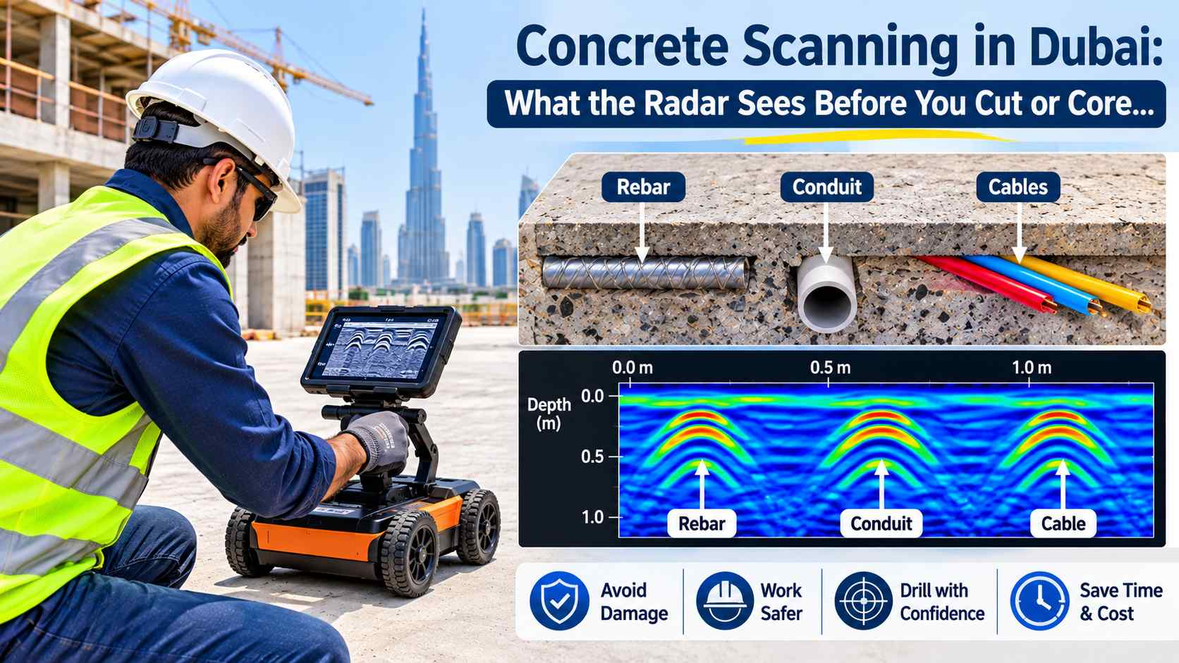
Concrete Scanning in Dubai: What the Radar Sees Before You Cut or Core
A concrete slab looks plain from the top. Inside, it can hold steel bars, power cables, water pipes and post-tension tendons. One wrong cut can hit…
Read articleAll articles
Browse by topic
Pick a topic or search above. New articles appear here as soon as they are published.
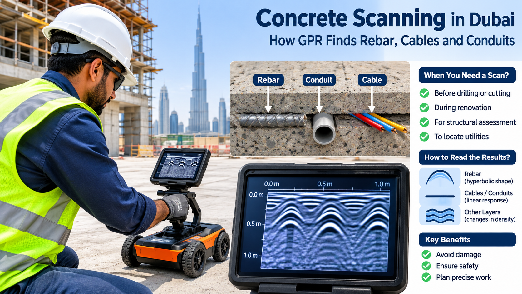
Concrete Scanning in Dubai: Find What Is Inside the Slab Before the Drill Does

Leica Mobile Mapping: What the System Does on a Real Road Job

Mobile Coverage Map: Why the Bars on Your Screen Rarely Match the Colours on the Map

Leica Mobile Mapping: Matching the Pegasus TRK to Your Road, Rail or Waterway

Trimble Mobile Mapping: How One Drive Along a Road Becomes Survey Data
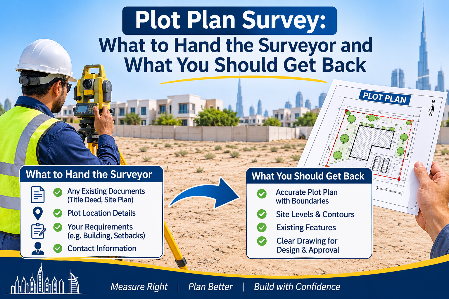
Plot Plan Survey: What to Hand the Surveyor and What You Should Get Back
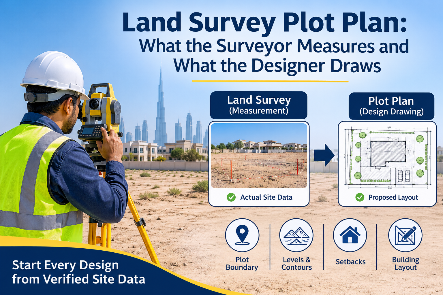
Land Survey Plot Plan: What the Surveyor Measures and What the Designer Draws
Plot Survey in Dubai: What It Covers and When You Need One
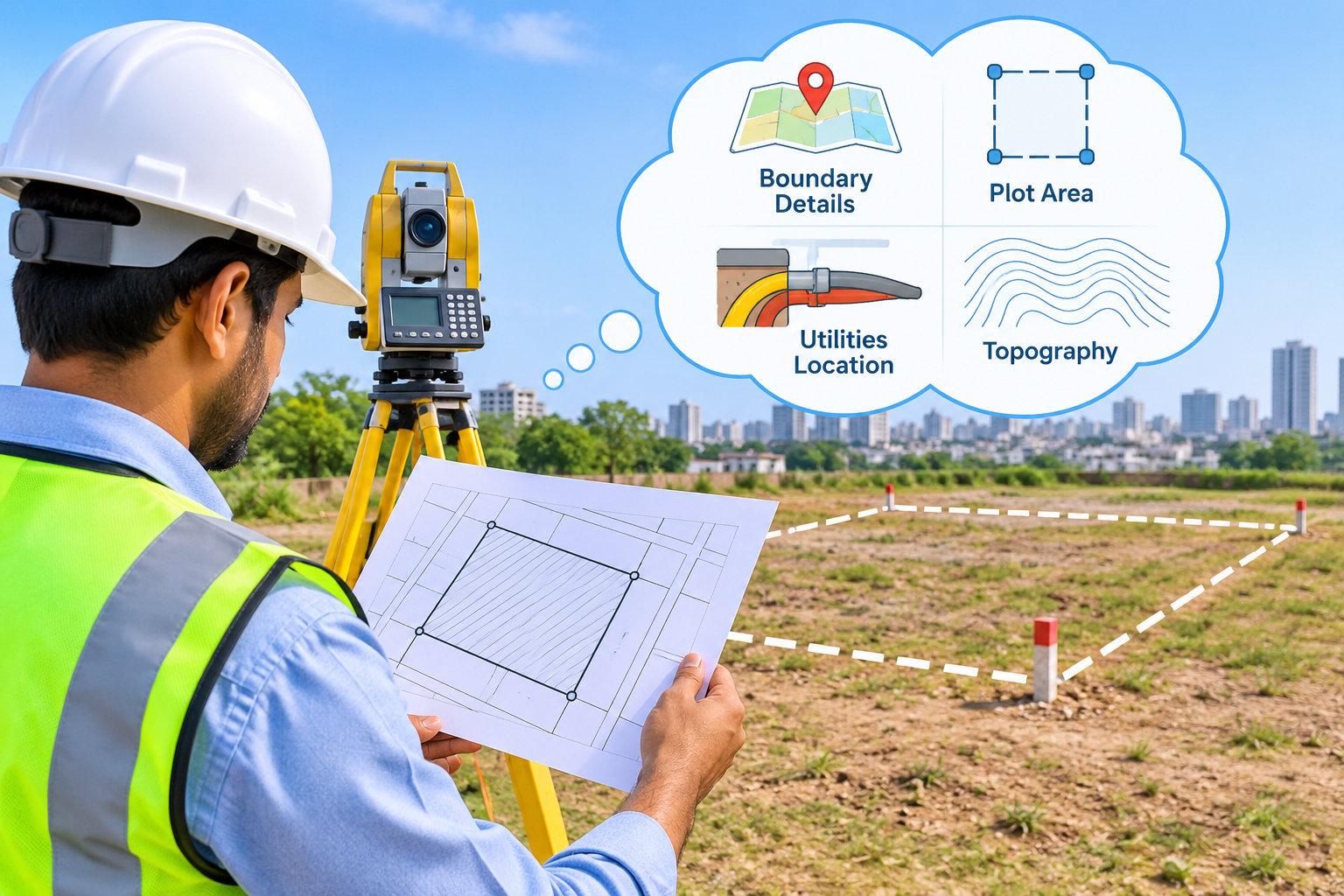
What Your Plot Survey Map Is Quietly Telling You About Your Land

From Sketch to Sheet: How an AutoCAD Structural Drawing Gets Made
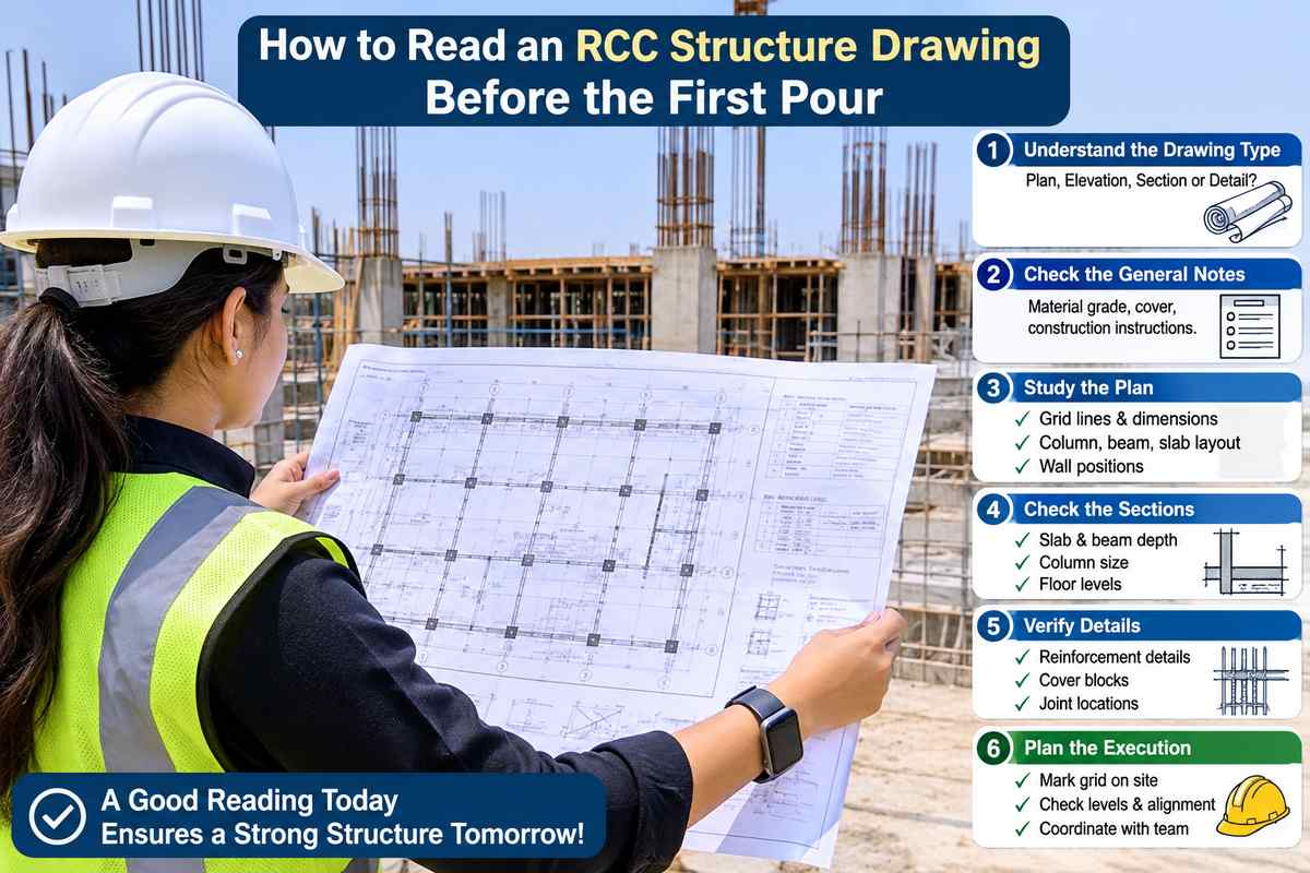
How to Read an RCC Structure Drawing Before the First Pour
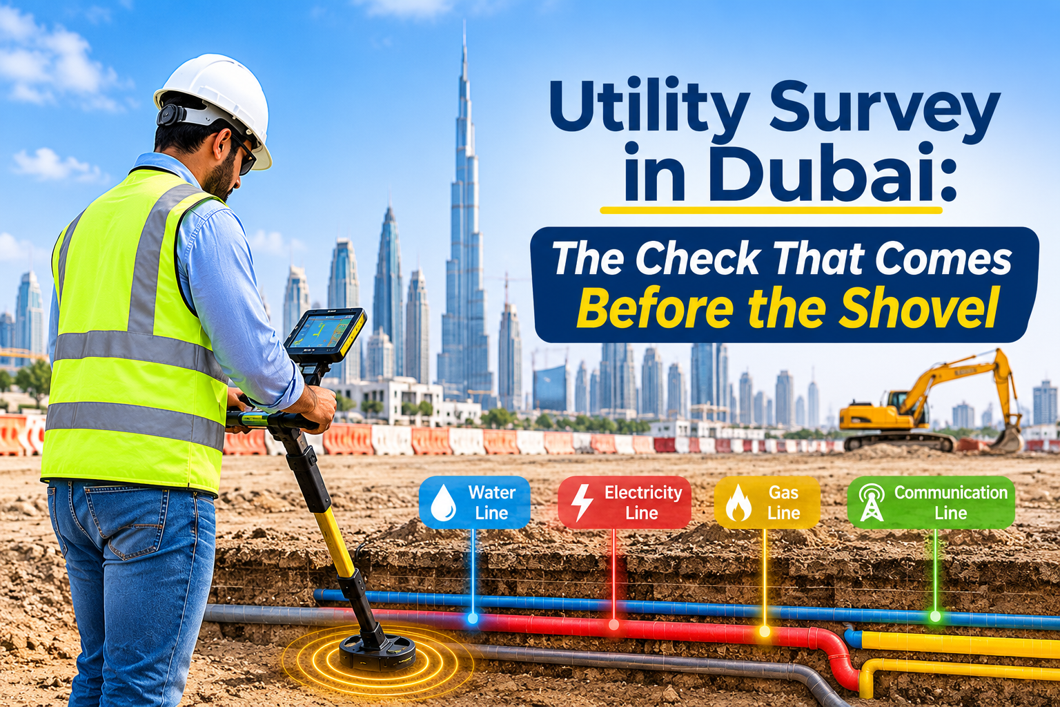
Utility Survey in Dubai: The Check That Comes Before the Shovel

Underground Surveying in Dubai: Finding What the Drawings Don’t Show
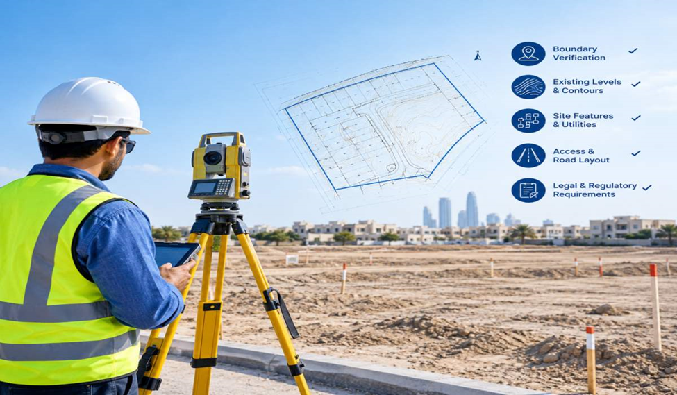
Plot Survey for Land Development: What to Check Before Design Begins
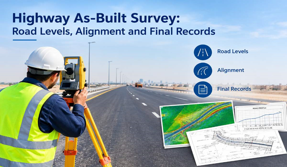
Highway As-Built Survey: Road Levels, Alignment and Final Records
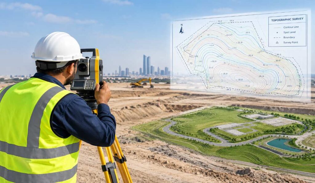
Topographic Survey: How Survey Plans Support Better Site Design
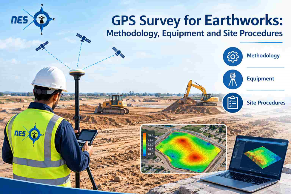
GPS Survey for Earthworks: Methodology, Equipment and Site Procedures

BIM 3D Model: Components, Uses and How It Works
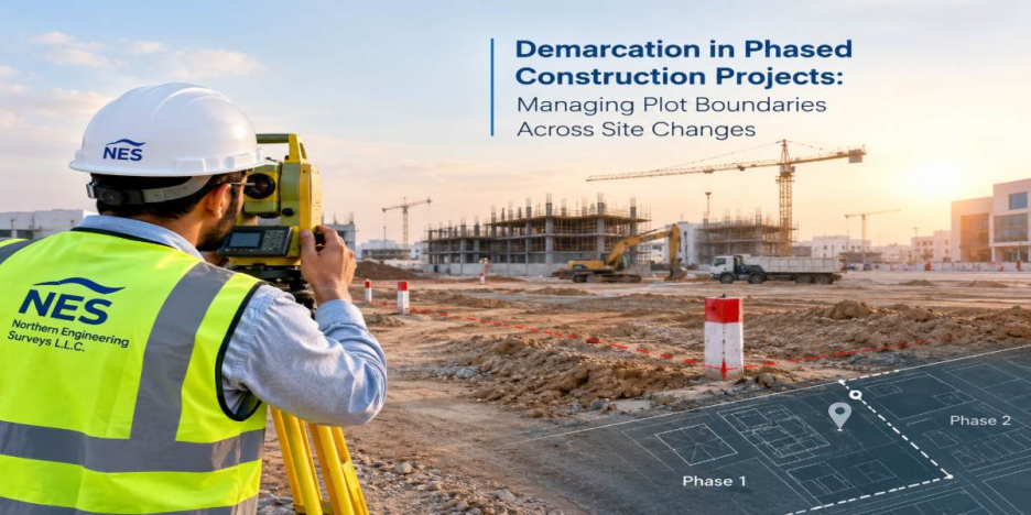
Demarcation in Phased Construction Projects: Managing Plot Boundaries Across Site Changes

Understanding GPS Survey Accuracy: Coordinate Systems, Datums, Geoid Models and Measurement Errors
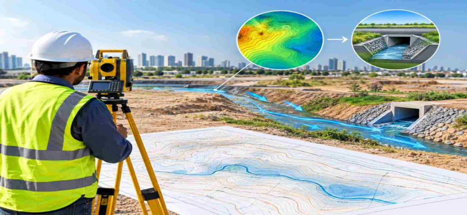
How Topographic Survey Supports Drainage Design and Surface Water Management
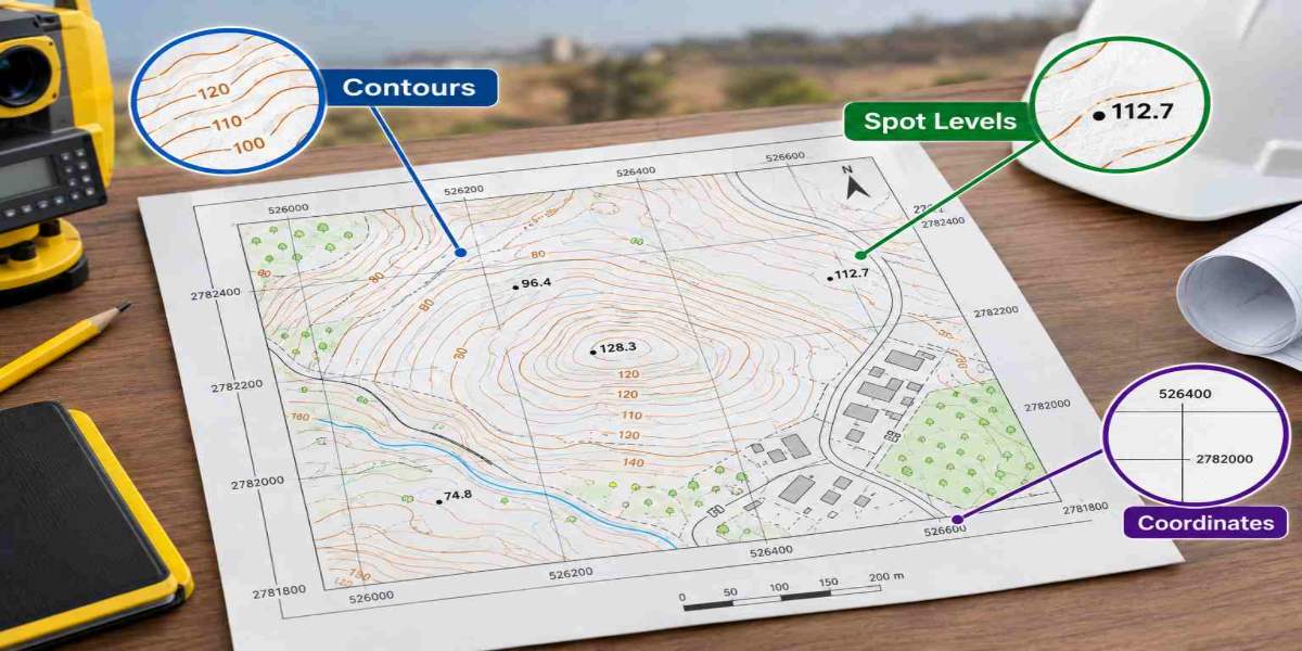
How to Read a Topographical Survey Map: Contours, Spot Levels and Coordinates
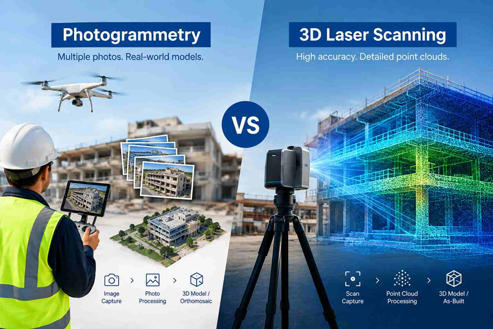
Photogrammetry vs 3D Laser Scanning: Accuracy, Data and Applications

3D Laser Scanning Inspection: Methods, Deviation Analysis and Verification
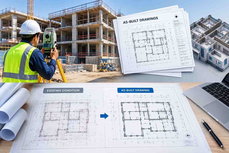
As-Built Drawings: Purpose, Preparation Process and Requirements
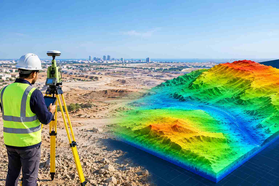
Digital Terrain Model (DTM): Types, Applications and Uses in Construction
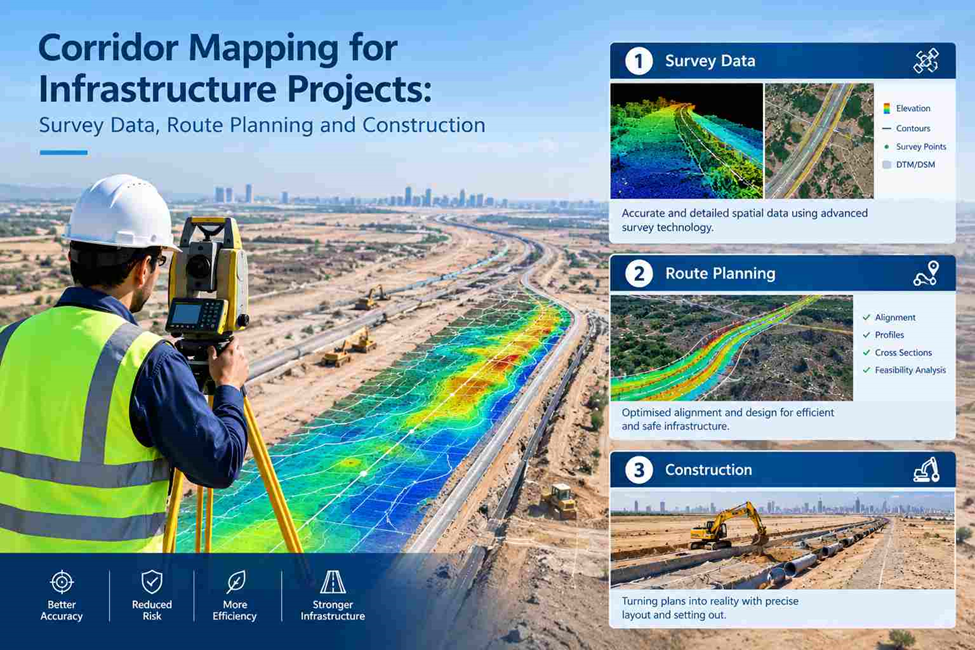
Corridor Mapping for Infrastructure Projects: Survey Data, Route Planning and Construction
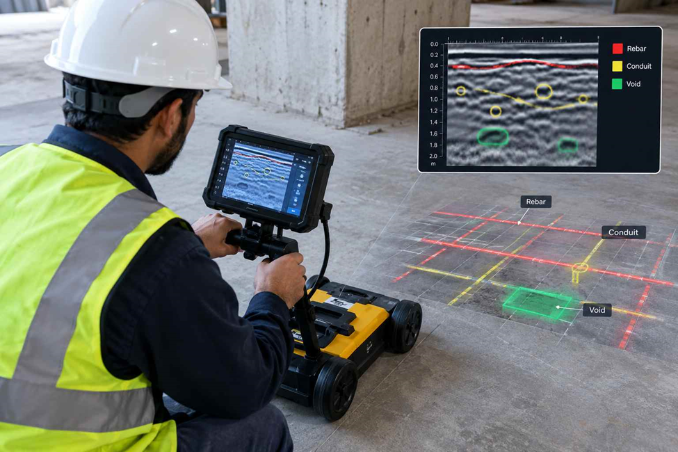
Concrete Scanning: GPR Machine, Slab Detection and Cost Guide
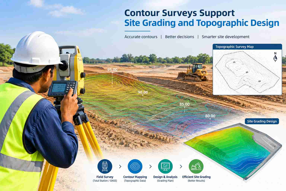
How Contour Surveys Support Site Grading and Topographic Design
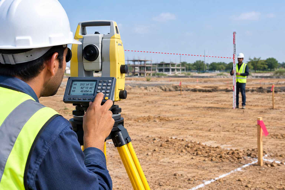
Setting Out Using a Total Station: Step-by-Step Process for Building Projects
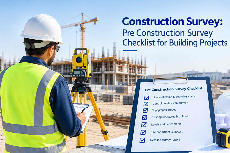
Construction Survey: Pre Construction Survey Checklist for Building Projects

Drone Survey Inspection in Dubai: What Can It Detect?

Road Survey Using Mobile Mapping: A Practical Guide for Dubai
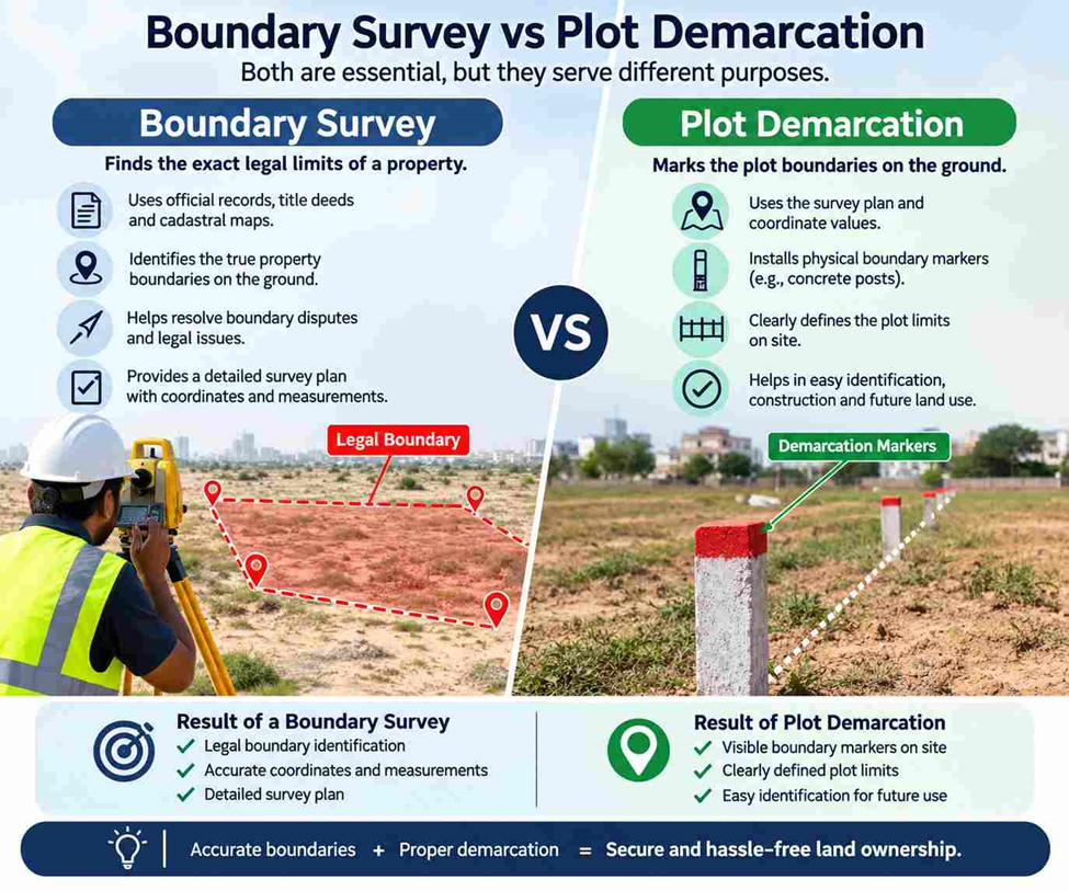
Boundary Survey vs Plot Demarcation: Key Differences in Dubai
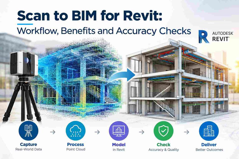
Scan to BIM for Revit: Workflow, Benefits and Accuracy Checks
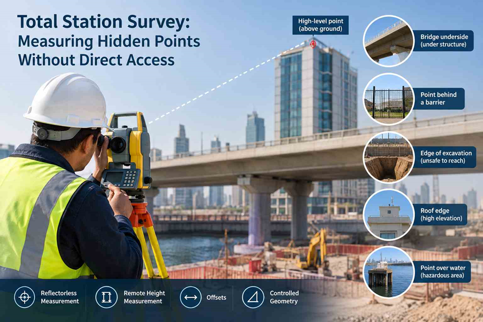
Total Station Survey: Measuring Hidden Points Without Direct Access

Surveyor Dubai: How Survey Teams Handle Changes During Construction
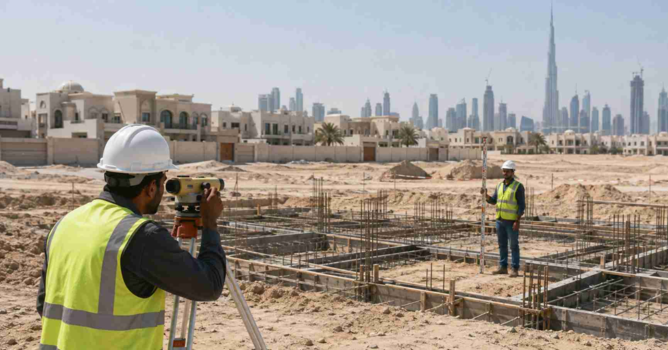
Gate Level Computation Report: What Survey Data Should It Include?

Topographic Survey Accuracy: 8 Checks Before Site Design
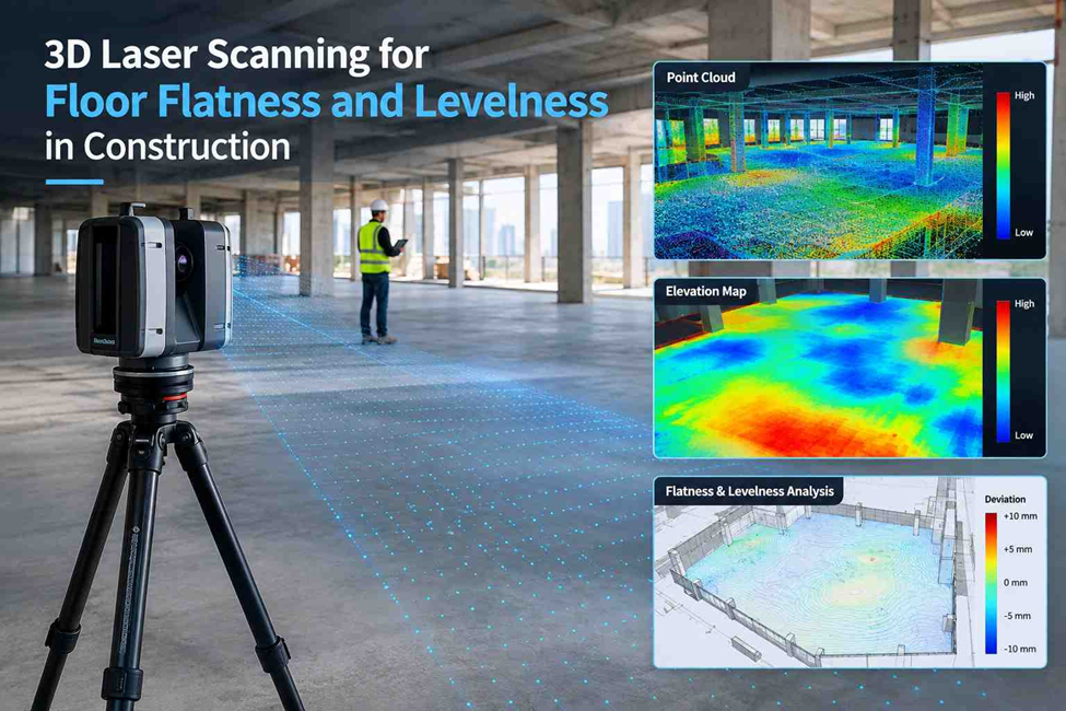
3D Laser Scanning for Floor Flatness and Levelness in Construction
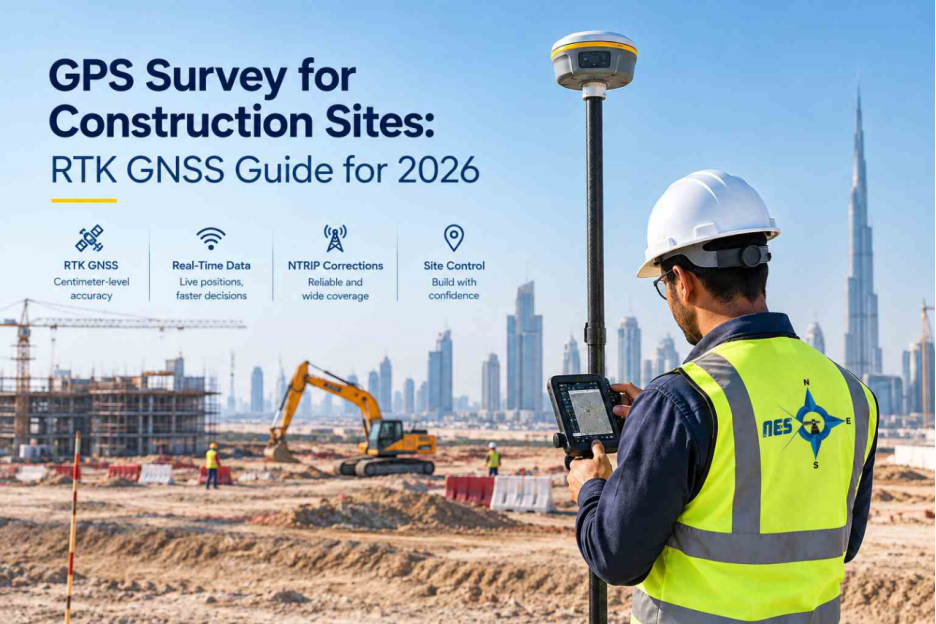
GPS Survey for Construction Sites: RTK GNSS Guide for 2026

Industrial 3D Scanning Services for Plants & Facilities
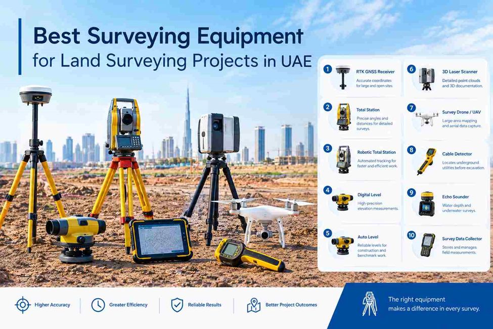
Top Surveying Equipment for Land Surveying
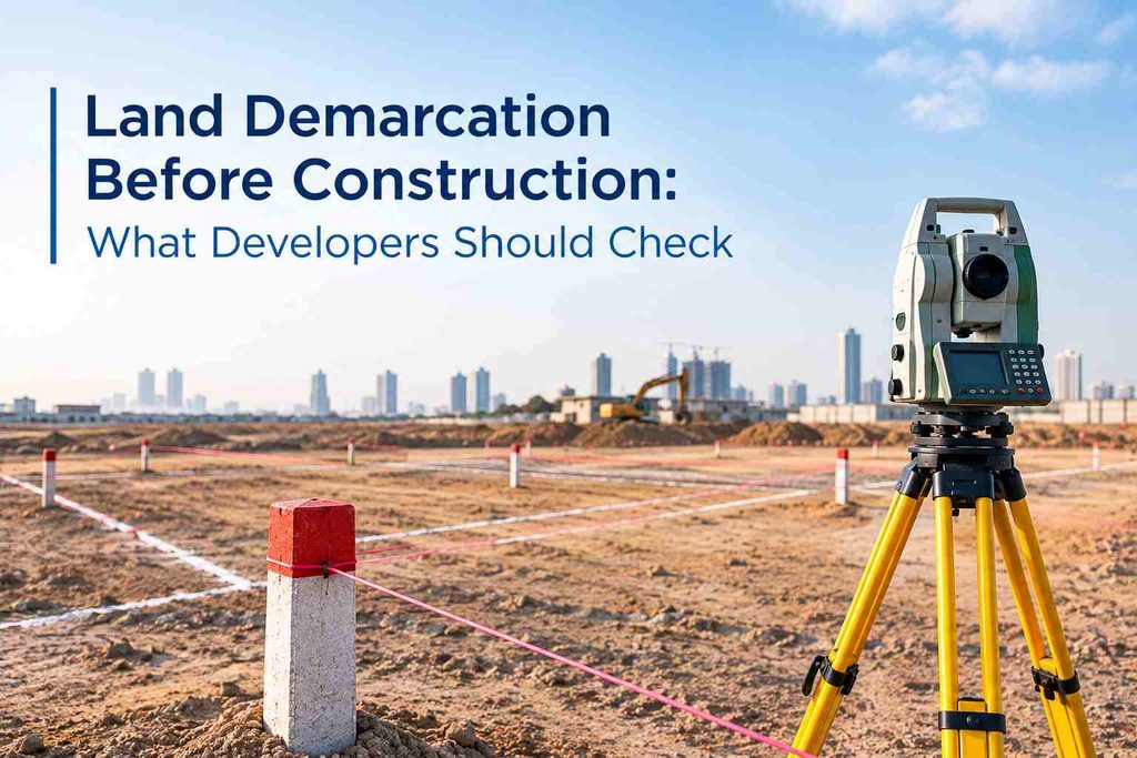
Land Demarcation Before Construction: What Developers Should Check

How Soil Testing Helps Identify Ground Conditions Before Construction
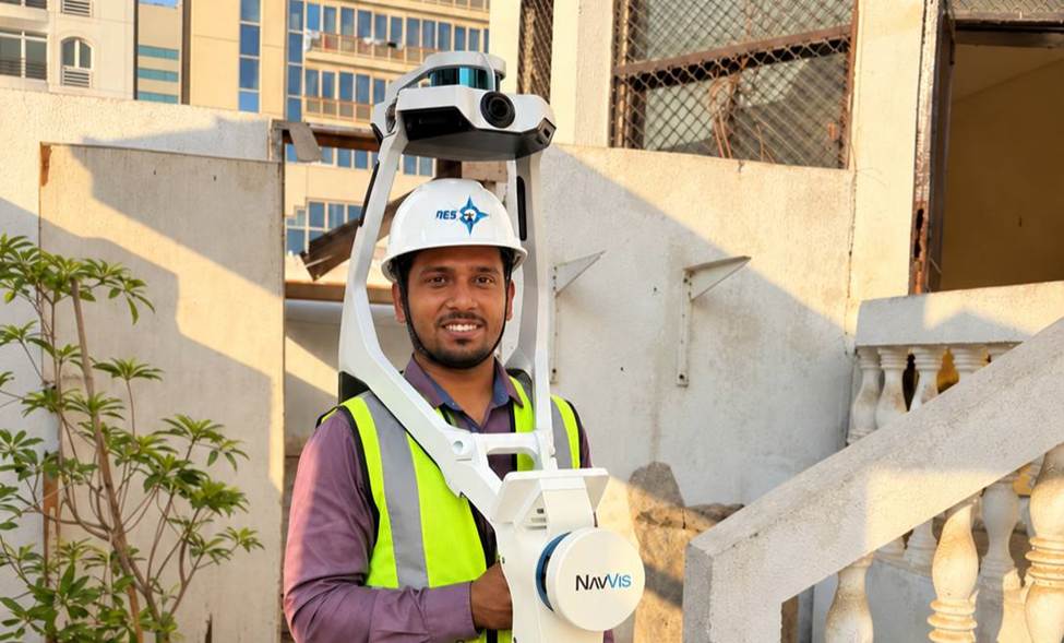
Best 3D Scanner for Construction Site Surveying in UAE

How Surveyors Calculate Stockpile Volumes From 3D Data
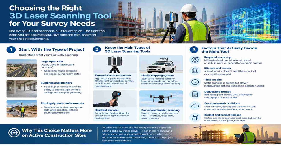
Choosing the Right 3D Laser Scanning Tool for Your Survey Needs
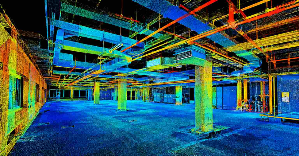
Best Point Cloud Scanning Service in Dubai for Construction Projects

Top 10 3D Laser Scanning Service Company in Dubai | UAE
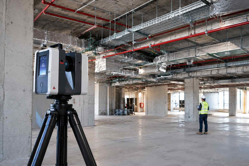
As-Built Survey Using 3D Laser Scanning
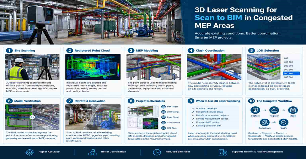
3D Laser Scanning for Scan to BIM in Congested MEP Areas

3D LiDAR Scanning for Complex Building Geometry in Dubai

Why Contractors in Dubai Are Switching to 3D BIM Modeling Services in 2026

3D Laser Scanning for Plant Surveys: Capturing Pipes, Structures and Equipment in Tight Spaces
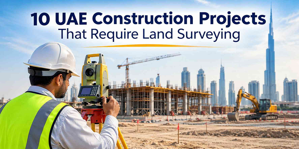
10 Construction and Infrastructure Projects That Require Land Surveying in the UAE
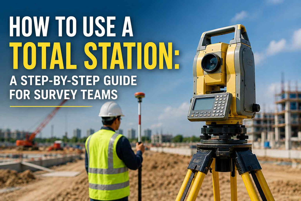
How to Use a Total Station: A Step-by-Step Guide for Survey Teams
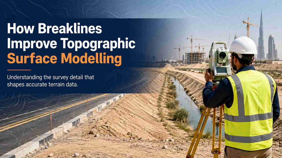
How Breaklines Improve Topographic Surface Modelling

3D Scanning Services in Dubai: A Practical Guide for Contractors & Architects

Land Survey Services in Dubai: What They Include and When You Need One

Gate Level Computation in Dubai: Approvals, Accuracy and Common Survey Errors

Total Station Machine Price in UAE: A Complete Buying Guide

From Burden to Benefit: Why Outsourced Surveyor Contracts are the New Procurement Standard

Why You Need a Topographical Survey in Dubai—Right Now
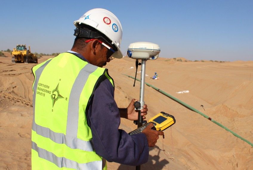
Land Survey Services: The Essential Guide Before You Hire
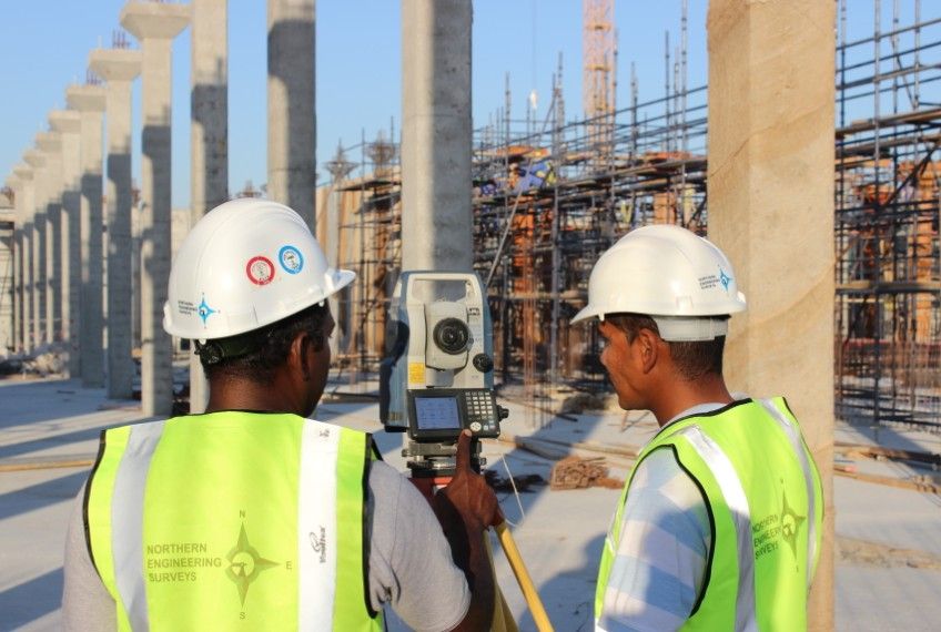
What Is Land Surveying? Guide for Construction & Civil Engineering

Survey Companies in Dubai: What to Expect and How to Prepare

Why Engineering Surveys Are Crucial for Historic Building Renovation in Dubai

🏗️ From Inspection to Report: Your Foolproof Building Survey Guide!

Property Line Dispute in Dubai: Costs, Stats & Survey Techniques Explained
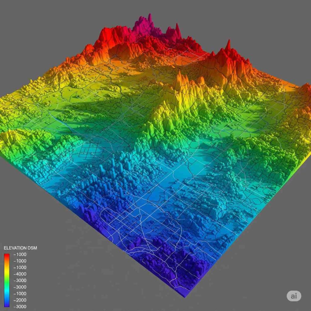
DTM, DEM, DSM Explained: How to Choose the Right Elevation Model for Your Project

🏡 Confused by Land Surveys? A Step-by-Step Guide for Non-Surveyors

5 Signs You Need an As-Built Survey for Your Property in Dubai

Marine Survey 2026 Insights for Offshore & Coastal Projects

Top 10 Ways Digital Twin Technology is Transforming Surveying

Still Using Tape? Discover Why Electronic Distance Meters Are Changing the Game!

Beginner’s Guide to Ground Survey Equipment & Best Practices

7 Latest Technologies for Utility Detection Every Dubai Engineer Should Know

Top 5 Biggest Land Surveying Mistakes in Dubai Construction 2025🚧

Top 10 Dubai Land Survey Companies Contractors Wish They Knew – 2026

Who Is an Estate Surveyor & Valuer? 🏢💰 Role, Skills & Pay

Construction Site Survey Checklist: Contractors Wish They Had This Sooner🏗️

2026’s Top Tool: Why Every Surveyor in Dubai Needs Aerial Drone Mapping

What Is a Topographical Survey?Drawings, Reports, and Real-World Examples

Topographical Survey vs. Land Survey: What's the Difference & Which Do You Need?

🤯 UNBELIEVABLE! How to Use a Total Station for Topographic Survey to Map Your ENTIRE Property in Minutes (Surveyors DON'T Want You To Know!)

Mind Blown: You'll Never See Land the Same After an Aerial Topographic Survey!
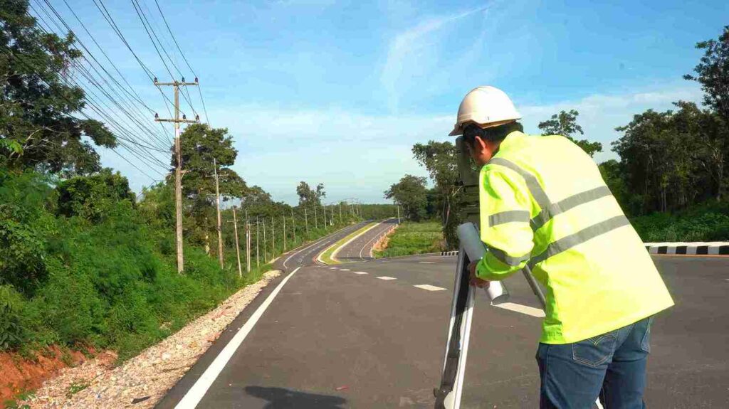
Don't Get Cheated! The REAL Cost of a Subdivision Survey in Dubai!

What Is a Total Station? The Future of Land Surveying
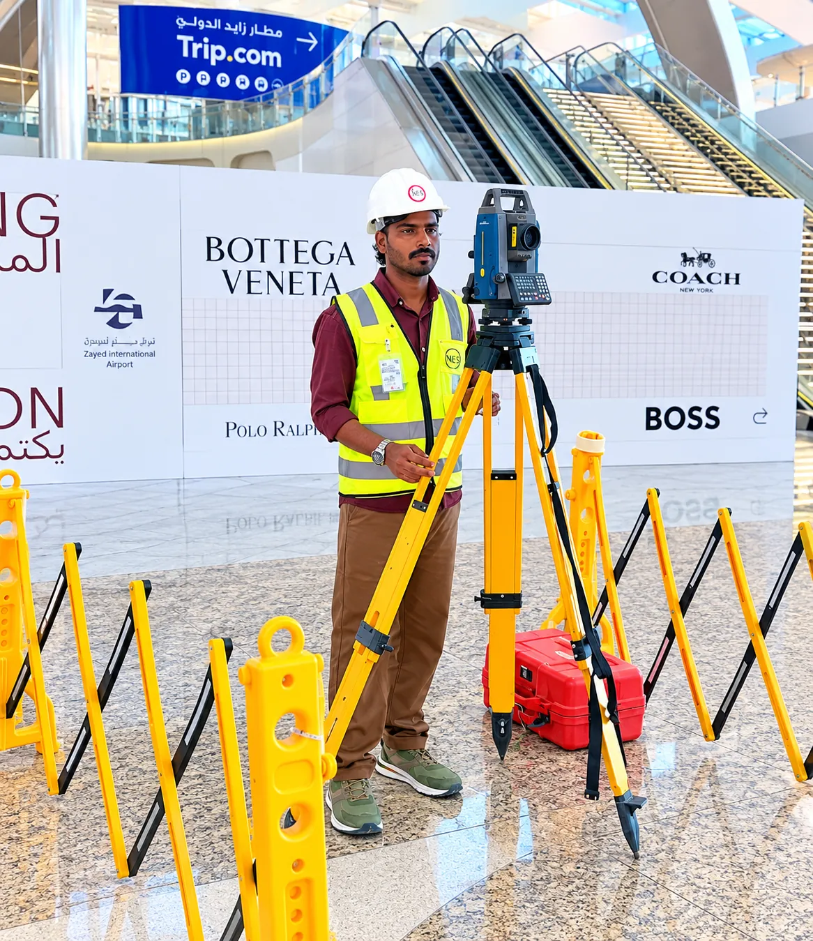
Warning: Building Dubai's Future Without This Essential Link is a Catastrophe Waiting to Happen!

Warning: Skipping This Step in Dubai's Land Deals Will COST You Millions!

Warning: Your Dubai Project is Bleeding Money Without Scan to BIM!

Marking Property Lines? Here’s the Ultimate Secret to Accuracy

Lost Your Land Survey Number in Dubai? Here's How to Retrieve It!
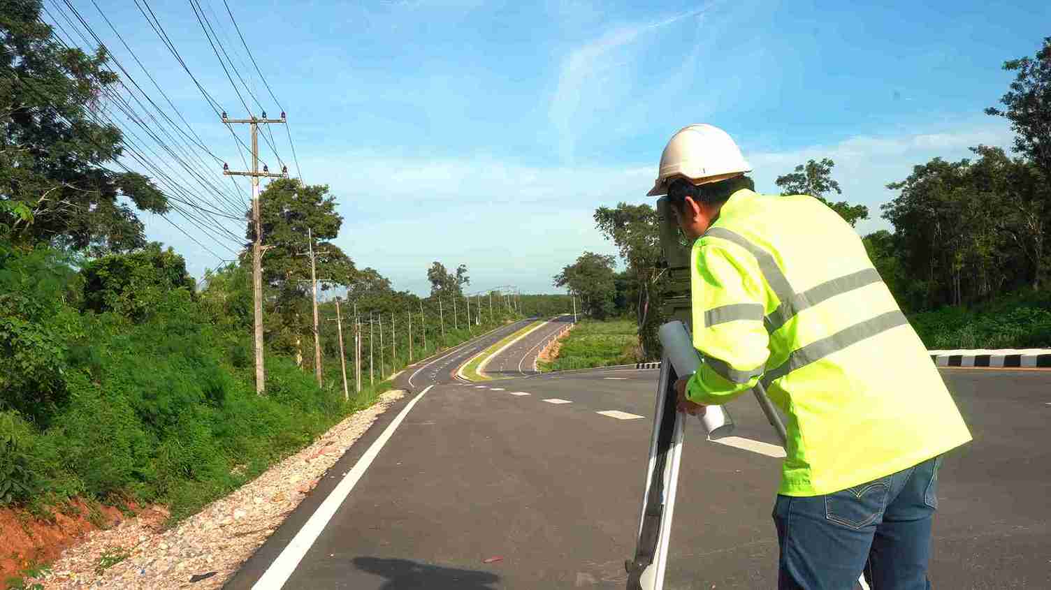
🛠️ How to Use Land Surveying Equipment: A Beginner’s Guide

How to Find Land Boundary Markers Even If They're Buried and Hidden
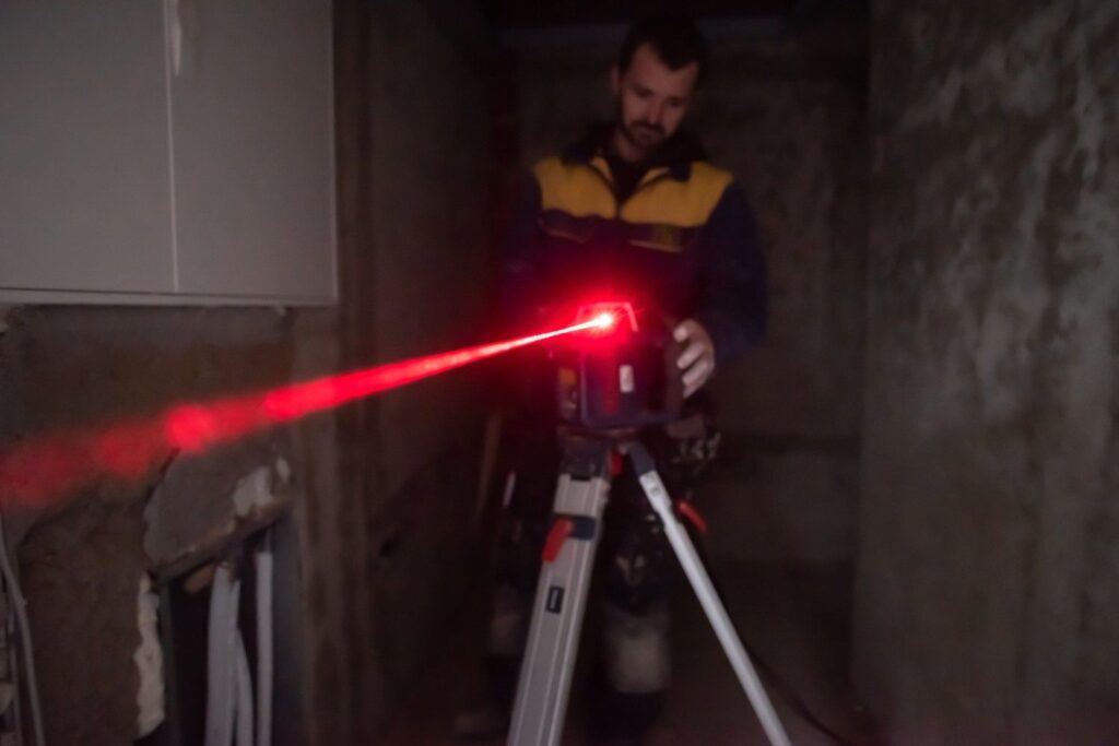
This Laser Scanning Technology Is Changing Everything — Find Out How!

Are You Still Inspecting the Old Way? You're Losing Money Without Aerial Inspections!

Site Plan for Building Permit: The Secret to INSTANT Approval?

Fix Dubai Land Disputes : Call a Commercial Building Surveyor!

Is Your Project About to COLLAPSE? The Critical Role of Elevation in Surveying You're Ignoring!

How Dumpy Level Works: Simple Tool, Big Results in 2026

Buying Land? The #1 Essential Step: How Demarcation of plot Can Save You a Fortune!
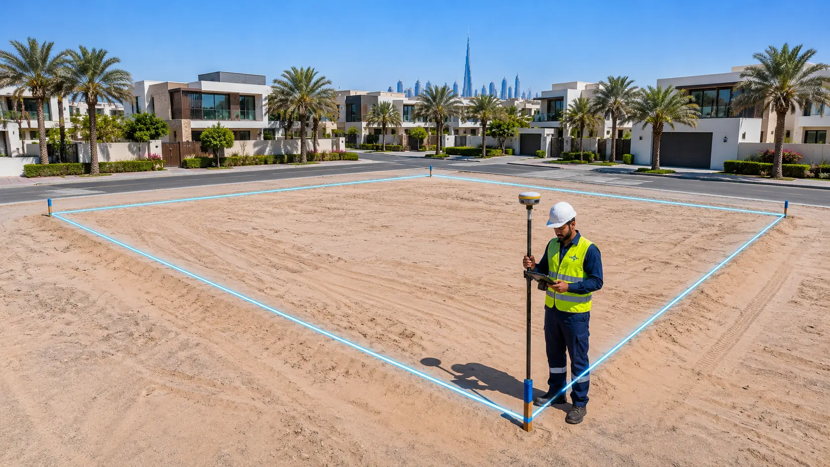
What Is a Plat of Survey? A Guide to Lot Surveys, Plot survey, and Title Surveys

You Won't BELIEVE the "Land Surveyor Jobs in Dubai Salary" Right Now!

How to Use GPS Survey Equipment: A Step-by-Step Guide for Surveyors
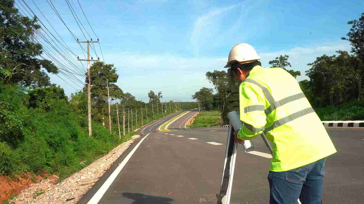
Where to Find a Surveyor? Your Definitive Guide to Qualified Professionals

Digital Survey of Land in Dubai: Smart Solutions

AutoCAD for Land Surveyors: Software for Accurate Land Surveying Solutions

House Surveys: What Type, Which Level, When to Get One, and How Much It Costs

What Surveyors Do: From Boundaries to Buildings – Where Data Meets Design
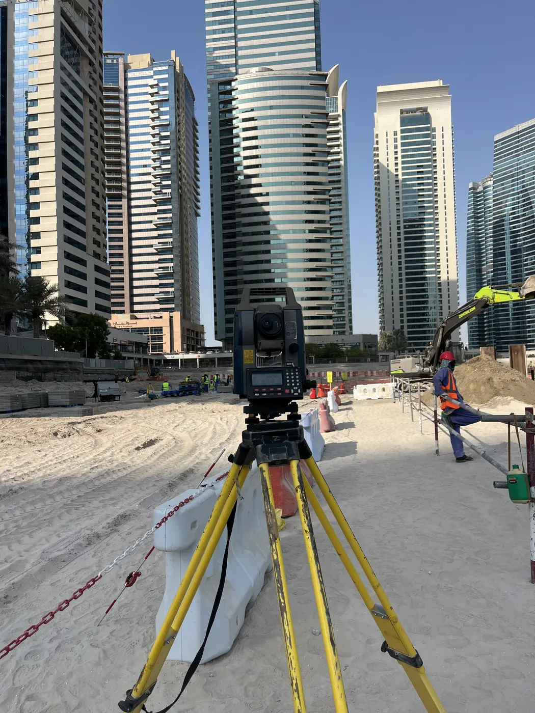
Dubai 2025: Shocking Truth About Topographical Survey Costs

Why You Need a Real Estate Surveyor for Your Property Investment in Dubai

Protect Your Property Investment with a RICS-Certified Chartered Land Surveyor

What is a Measured Building Survey and Why Do You Needs One?

Avoid Disputes: Get a Precise Property Survey for your Fence
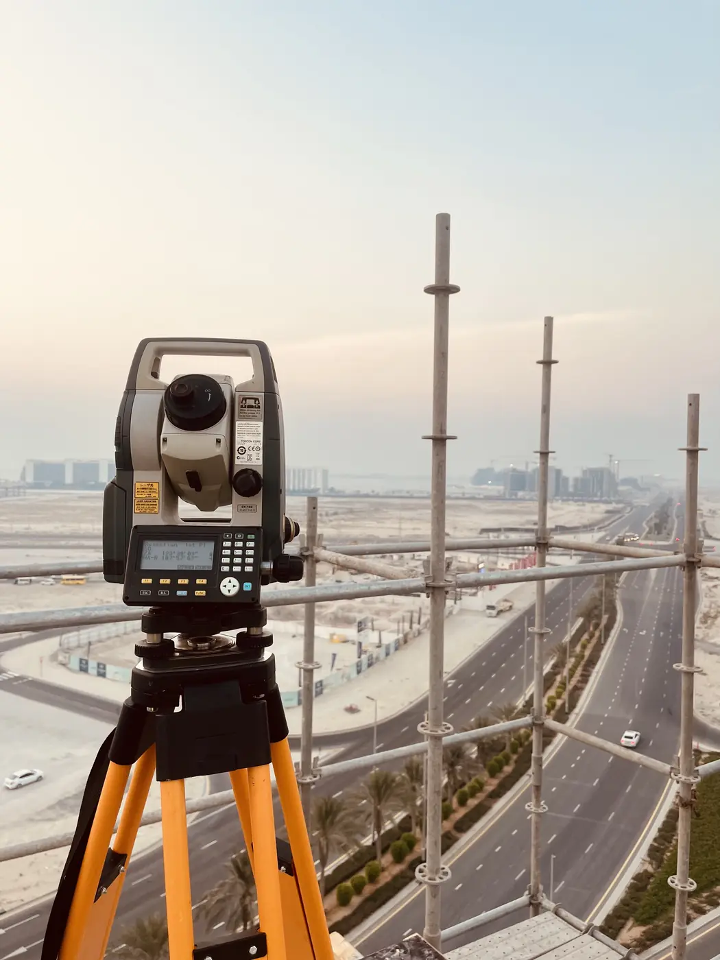
Your Dubai Home Survey Cost: A Smart Investment, Not Just an Expense

Is Your Land in Safe Hands? What to Ask Your Private Land Surveyor in Dubai

Land Surveyor Cost Explained: Types of Surveys and Their Price Tags in Dubai

Land Surveyor vs Quantity Surveyor: Understanding the Differences and When to Hire Each

From Aspiring to Professional: How to Become a Licensed Land Surveyor in the UAE
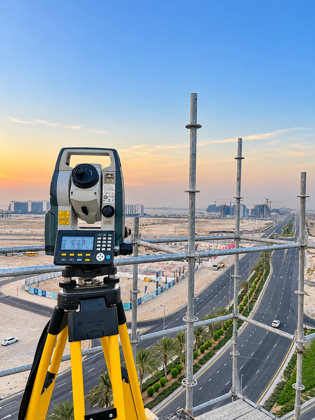
Who is a Land Surveyor? Roles, Responsibilities & Why Accurate Land Surveying Matters

Land Surveyors: Your Guide Through the Maze of Land Development Regulations

What Is a Magnetometer Survey and Why Should You Care?
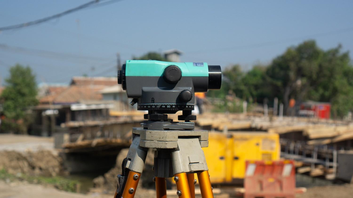
How a Licensed Land Surveyor Resolves Property Line Disputes

Hiring Smart: Questions to Ask Dubai Land Survey Companies Before You Begin
No article matches that. Try a shorter word, or ask a surveyor.
Have a question about your site?
Send it to a surveyor. We reply within the working day with a clear answer and, if you need one, a price.