
Construction Survey: Pre Construction Survey Checklist for Building Projects
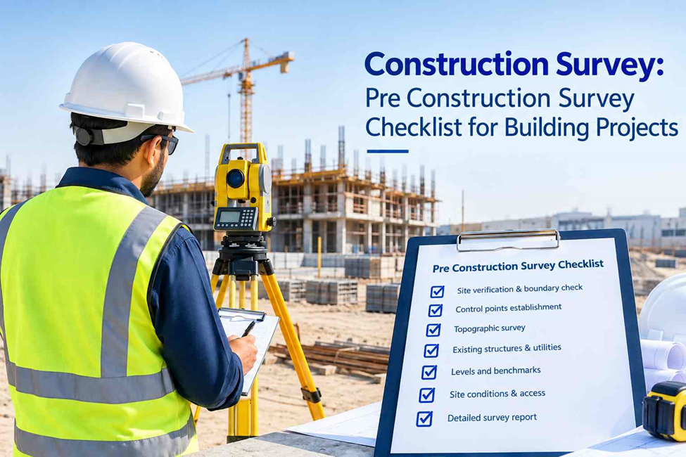
A construction project starts with accurate measurements. Before work begins, surveyors establish site boundaries, ground levels, existing features, and reliable reference points.
A construction survey helps transfer design information to the site and check positions, levels, and alignments during construction. A pre construction survey records existing site conditions before major work starts, providing a reliable baseline for the project.
What Is a Construction Survey?
A construction survey measures and sets out positions, levels, dimensions, and alignments based on project drawings. It can cover site and boundary surveys, control points, building grids, foundation checks, structural positioning, road and utility alignment, and as-built measurements throughout the construction process.
Why Is Construction Survey Important?
Construction surveying ensures that design positions, levels, and alignments are correctly transferred to the site. Even small errors can affect foundations, columns, slabs, drainage, and finished levels.
A construction survey helps teams:
- Maintain reliable coordinates and levels
- Set out design positions accurately
- Check structural alignment
- Detect errors early
- Verify completed work
- Prepare as-built records
- Reduce rework
Surveying provides measurement control throughout the construction process, not just at the initial setting-out stage.
Pre Construction Survey: What Should Be Checked Before Work Starts?
A pre construction survey establishes the site’s measured condition before construction activity changes the area.
The survey team may review available drawings, previous survey information, title or plot information, and project coordinates before visiting the site.
The field survey can then document:
- Existing ground levels
- Plot and property boundaries
- Existing buildings
- Boundary walls and fences
- Roads and access points
- Drainage features
- Visible utility features
- Existing benchmarks
- Adjacent structures
- Surface features
- Significant changes in elevation
This gives architects, engineers, contractors, and developers a current picture of the site.
It can also reveal differences between old drawings and actual site conditions before those differences become construction problems.
Construction Survey Checklist
A practical construction survey checklist should cover the information required before construction as well as the checks needed during the work.
✓ Review the Latest Construction Drawings
Before setting out any point, the survey team should work from the latest approved drawing revision.
Important information may include:
- Building grid coordinates
- Structural grid
- Foundation layout
- Column locations
- Finished floor levels
- Road alignments
- Utility layouts
- Drainage levels
- Datum information
- Approved benchmarks
Using an outdated drawing can result in accurate fieldwork being performed against incorrect design information.
✓ Verify Existing Site Conditions
The existing site should be measured before major construction begins.
This may include buildings, walls, roads, pavements, levels, drainage structures, utilities, and other physical features that could affect the proposed work.
The purpose is to establish what is actually present on site rather than relying only on older records.
✓ Establish Survey Control Points
Survey control points provide a consistent reference for construction measurements.
Control points can be used for:
- Building setting out
- Grid establishment
- Level transfer
- Structural checks
- Road alignment
- Utility works
- As-built surveys
The points should be clearly documented and protected from construction activity.
✓ Check Benchmarks and Elevations
Vertical control is just as important as horizontal positioning.
Surveyors transfer levels from established benchmarks and use them to check excavation, foundations, slabs, roads, drainage, and finished surfaces.
A reliable benchmark system allows different survey teams and construction stages to work from the same elevation reference.
✓ Set Out the Building Grid
The building grid connects the structural and architectural drawings to the physical site.
Surveyors transfer the required grid intersections and reference points to the site so construction teams can position foundations, columns, walls, and other elements correctly.
✓ Check Excavation and Foundation Positions
During excavation and foundation work, surveyors can check whether the work is being carried out at the required location and elevation.
Checks may include:
- Excavation limits
- Excavation depth
- Foundation position
- Foundation dimensions
- Formation levels
- Offset distances
- Structural grid alignment
Identifying an error at this stage is generally easier than correcting it after concrete or structural work has progressed.
✓ Verify Structural Elements
As the building rises, surveyors can check the position and elevation of important structural elements.
Depending on the project, this may include:
- Columns
- Walls
- Cores
- Slabs
- Beams
- Structural grids
- Floor levels
- Vertical alignment
These checks help the project team compare the constructed position with the design requirements.
✓ Check Roads, Drainage and Utilities
Construction surveying also supports civil and infrastructure works.
Surveyors may set out and verify:
- Road centre lines
- Kerb lines
- Drainage networks
- Manholes
- Pipe routes
- Utility corridors
- Pavement levels
- Finished ground levels
Accurate alignment and elevation are particularly important where several services need to connect at specific locations.
✓ Complete As-Built Survey
An as-built survey records the position and levels of completed construction.
The measured information can be compared with the design drawings to identify deviations and prepare final project documentation.
As-built survey information can support:
- Project handover
- Record drawings
- Consultant review
- Facility management
- Future modifications
- Maintenance work
Every project has different documentation requirements, so the required as-built format should be agreed with the consultant or client.
Equipment Used for Construction Survey
Modern construction projects use different surveying instruments depending on the required accuracy, site conditions, project size, and type of measurement.
Total Station
A total station measures angles and distances and calculates accurate coordinates.
It is widely used for construction setting out, grid transfer, structural positioning, alignment checks, and detailed site measurements.
GNSS / GPS Survey Equipment
GNSS equipment is useful for establishing and checking coordinates over larger sites where suitable satellite visibility is available.
It can support control surveys, topographic measurements, site positioning, and construction coordination.
Digital Level
Digital levels are used for accurate elevation measurements and level transfer.
They can be useful when checking benchmarks, excavation levels, floor levels, road levels, and other elevation-sensitive work.
3D Laser Scanner
A 3D laser scanner captures dense spatial measurements and produces point cloud data.
It can be particularly useful for complex structures, existing buildings, detailed as-built documentation, and projects where conventional point measurements alone may not provide enough information.
Drone Survey
Drone surveying can provide aerial imagery and mapping data for large construction sites.
It can support site documentation, progress monitoring, terrain mapping, and other survey requirements where drone operations are appropriate.
The equipment combination should be selected according to the project’s measurement requirements rather than using the same method for every site.
Benefits of Following a Construction Survey Checklist
A properly planned survey process can provide several practical benefits:
- Better control over construction positions
- Fewer errors in setting out
- Earlier identification of level differences
- Improved coordination between contractors and consultants
- Better excavation planning
- More reliable structural positioning
- Reduced risk of rework
- Better documentation of completed work
- More consistent project records
- Improved construction quality
The biggest advantage is simple: the project team has measured information to work from instead of relying on assumptions.
Common Construction Survey Mistakes to Avoid
Some surveying problems come from the process rather than the equipment.
Common mistakes include:
- Using an old drawing revision
- Failing to verify existing site conditions
- Relying on an unchecked benchmark
- Damaging or moving control points
- Skipping independent measurements
- Setting out without confirming coordinates
- Ignoring changes in site conditions
- Delaying as-built measurements until the end
- Using equipment that is not properly maintained
- Treating surveying as a one-time site activity
These issues can become expensive when they are discovered after foundations, structural elements, or services have already been installed.
Construction Survey Services in Dubai
Northern Engineering Surveys L.L.C provides construction surveying and related measurement services for building, infrastructure, civil, and engineering projects in Dubai.
Our survey services include construction setting out, total station survey, GPS/GNSS survey, topographic survey, control point establishment, as-built survey, 3D laser scanning, and volume calculations.
If your project requires accurate construction survey information from site preparation through completion, contact Northern Engineering Surveys L.L.C to discuss the survey scope and required deliverables.
Frequently Asked Questions
Q1. What is the purpose of a construction survey?
A construction survey provides accurate measurements for setting out, positioning, level checking, alignment verification, and documenting construction work according to the project design.
Q2. What is included in a pre construction survey?
A pre construction survey can include existing ground levels, boundaries, structures, access features, visible utilities, benchmarks, and other site conditions that may affect the proposed construction.
Q3. What should be included in a construction survey checklist?
A construction survey checklist can include drawing review, site verification, control points, benchmarks, building grid setting out, foundation checks, structural checks, civil works, utility alignment, and as-built requirements.
Q4. Which equipment is commonly used for construction surveying?
Common equipment includes total stations, GNSS/GPS receivers, digital levels, 3D laser scanners, and drones, depending on the project requirements and required measurement accuracy.
Q5. Why are control points important in construction surveying?
Control points provide a consistent coordinate and elevation reference for setting out and checking construction work. They allow survey activities carried out at different stages to remain connected to the same reference system.
Q6. Should construction surveying continue after the initial setting out?
Yes. Survey requirements normally continue through excavation, foundations, structural construction, civil works, and final as-built documentation. The exact checks depend on the project.