
Land Demarcation Before Construction: What Developers Should Check
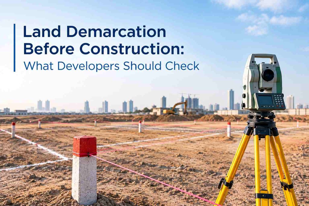
Before construction starts, a developer needs more than an approved architectural drawing. The project team needs to know exactly where the plot begins, where it ends, and whether the proposed construction fits inside those limits.
That is where land demarcation becomes important.
For a construction project in Dubai, demarcation is not simply about putting markers on the ground. It connects the approved plot information with what the survey team sees physically on site. It can also become important again during construction if plot limits or construction work need to be checked. Dubai Development Authority (DDA) currently describes land demarcation as fixing the plot boundary and corners on the ground before construction. It also has separate re-demarcation and final demarcation stages for checking construction limits and completed structures.
1. Check the Current Plot Information First
Before sending a survey team to mark a plot, the developer should make sure the information being used is the current approved information.
Check:
- Plot number and location
- Current site plan or relevant authority-approved plot information
- Plot dimensions and corner information
- Approved land-use information
- Existing survey information, if available
- Any recent changes to the plot
- Whether the plot has been subdivided, combined, modified, or otherwise changed
This is particularly important when an old survey drawing is being reused for a new project.
A surveyor should not simply assume that an older drawing still represents the current site condition.
2. Confirm the Plot Corners Before Construction Starts
The corners are the practical starting points for understanding the plot on the ground.
The survey team should check:
- Where each plot corner falls physically
- Whether existing markers can still be located
- Whether any marker has been disturbed or removed
- Whether the measured position agrees with the approved information
- Whether neighbouring physical features create any apparent conflict
If a corner cannot be reliably identified, it is better to resolve that issue before excavation, boundary-wall work, or structural construction begins.
A misplaced reference point can affect everything that follows.
3. Do Not Confuse Demarcation With Setting Out
These two activities are connected, but they are not the same job.
Land demarcation establishes or confirms the limits of the plot.
Setting out transfers the positions of the proposed building elements from the approved design onto the site.
For example:
- Demarcation → Where does the plot end?
- Setting out → Where should the building, columns, walls or other designed elements be positioned?
- As-built survey → Where was the structure actually constructed?
This distinction matters because a construction team can have accurate setting-out measurements while still starting from incorrect or outdated boundary information.
4. Check Construction Setbacks Against the Actual Plot
A building may fit comfortably inside an architectural drawing but still require careful checking against the physical plot.
Before construction begins, the project team should review:
- Building footprint
- Required setbacks
- Boundary-wall position
- Access and entrance areas
- External structures
- Basement or excavation limits
- Service areas
- Any elements close to the plot boundary
The survey team can provide the ground coordinates needed to compare the proposed construction position with the actual plot limits.
This is one reason developers should involve the surveyor early rather than treating demarcation as a last-minute site activity.
5. Check Whether Construction Is Approaching a Plot Limit
Not every problem happens at the start of a project.
During excavation and structural work, the contractor may need to verify that the work remains within the permitted limits.
DDA currently lists Land Re-Demarcation as a service for checking that plot limits and construction works remain within permissible limits during construction.
That makes rechecking useful when:
- Construction is close to a boundary
- Major excavation has changed the site
- Existing markers have been disturbed
- The project design has been revised
- The building footprint has changed
- There is uncertainty about the position of an existing structure
6. Pay Attention to Survey Control
Demarcation should not be treated as an isolated measurement.
A construction project normally uses survey control points and reference information for repeated measurements throughout the project.
Dubai Municipality currently provides a service for establishing new ground control points where none exist within 1,000 metres of a project area, specifically to support field surveys and structural or infrastructure projects.
For a developer, the practical question is:
Can the same reference system be used consistently for the next survey, setting-out work and verification?
That matters more on larger projects where different survey activities take place over several months.
7. Use the Right Survey Equipment for the Site
Modern demarcation work does not rely on a single instrument for every situation.
Depending on the project, surveyors may use:
- GNSS/RTK for establishing coordinates and positioning points
- Total Stations where high-precision local measurements are required
- Digital levels where elevation control is important
- CAD/GIS data for processing and comparing survey information
- 3D scanning or other digital survey methods where the surrounding built environment needs to be documented
The important point is not simply having advanced equipment.
The field measurements have to be tied to the correct project reference system and checked against the information being used for construction.
8. Check What Happens If a Boundary Point Is Lost
Construction sites change quickly.
Excavation, grading, temporary works, material movement and heavy machinery can disturb survey points.
For that reason, developers should know:
- Which points are being used as references
- Where those references are documented
- Whether backup control points exist
- How disturbed points will be re-established
- Who is responsible for checking them before critical work continues
Dubai Municipality also lists land demarcation among its services for purposes including re-fixing demarcation points when they have been lost, as well as soil testing and grid levelling.
This is a practical issue that can appear on an active construction site, not just a theoretical surveying concern.
9. Keep Demarcation Data With the Project Records
A developer should not treat the survey result as a document that is used once and forgotten.
Keep the relevant information with the project records, including:
- Survey drawings
- Coordinate information
- Demarcation information/certificate where applicable
- Control-point information
- Approved site information
- Revision history
- Related setting-out information
- Later re-demarcation or verification records
This creates a clearer record when the project moves from design to construction and eventually to completion.
10. Know the Authority Requirements for Your Plot
Dubai does not operate through one identical approval route for every development area.
The relevant authority can depend on the project’s location and development zone.
For example, DDA’s current land-demarcation service states that the service can be requested by the plot owner or consultant for initial demarcation, while re-demarcation and final demarcation involve the contractor. DDA currently lists an estimated delivery time of 5 working days and a fee of AED 400 per plot, plus AED 10 Knowledge Dirham and AED 10 Innovation Dirham per transaction.
These figures should be treated as current DDA service information, not a universal Dubai surveying price.
For projects falling under Dubai Municipality procedures, the municipality also maintains building-permit and construction inspection procedures through its Building Control and Building Permits Department.
11. A 2026 Change Developers Should Be Aware Of
Dubai’s construction environment is becoming increasingly connected to digital geospatial information.
In July 2026, Dubai officially launched the Dubai Digital Twin Platform. Dubai Municipality reported that the platform includes more than 195,000 buildings, more than 280,000 infrastructure assets, more than 330,000 public facilities and assets, and over 1,500 geospatial data layers.
For land surveying, this is relevant because survey information is increasingly becoming part of a wider digital environment rather than remaining only as isolated CAD drawings.
For developers, that makes consistent coordinates, reliable field measurements and properly documented survey data increasingly important.
Need Accurate Survey Support Before Construction?
Northern Engineering Surveys L.L.C. provides land surveying and construction survey support in Dubai, including demarcation, topographic surveys, setting out, GPS/GNSS surveys, total station surveys, control points, as-built surveys and volume calculations.
For project-specific survey requirements, contact the NES Dubai team before site work begins.
FAQs
1. Should land demarcation be completed before site mobilization?
Yes. It is useful to establish and verify the plot limits before major site activities begin, particularly before excavation, boundary-wall construction, or other work close to the plot edges.
2. What should a developer check if the existing plot corner marker is missing?
The developer should not assume the corner position from an old physical marker or drawing. A surveyor can check the available approved information and survey control, then determine the appropriate way to re-establish the missing point.
3. When is re-demarcation needed during construction?
Re-demarcation can become relevant when construction is approaching plot limits, existing reference points have been disturbed, the building footprint has changed, or the position of the work needs to be checked again during construction. DDA specifically provides a re-demarcation service for checking plot limits and construction works during construction.
4. Does land demarcation confirm where the building should be constructed?
Not by itself. Demarcation establishes or confirms the plot limits. Setting out is then used to transfer the approved building positions and other design elements onto the ground.
5. Why should developers check survey control before starting construction?
Because later surveying and setting-out work needs a consistent reference. Using properly established control helps different survey activities remain connected to the same coordinate framework throughout the project.
6. What happens if demarcation points are disturbed during excavation?
The affected points should be checked before they are reused. Depending on the project and authority requirements, the survey team may need to re-establish or re-fix the points using the appropriate survey reference. Dubai Municipality lists re-fixing lost demarcation points among its land-related services.
7. Can GNSS or a Total Station be used for land demarcation?
Yes. The appropriate equipment depends on the site and required measurements. GNSS/RTK can be used for coordinate positioning, while Total Stations can provide precise local measurements. The important factor is that the observations are tied to the correct project reference system.
8. Should plot boundaries be checked again if the building design changes?
It can be necessary, particularly when a design revision changes the building footprint or moves construction closer to a plot boundary. The survey team can verify the revised positions against the established plot limits before work proceeds.