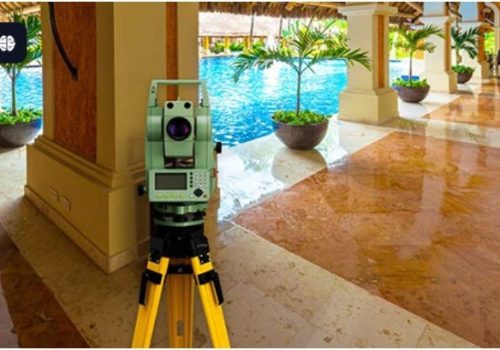
3D Laser Scanning Services in Dubai
Get precise 3D data with laser scanning for construction, architecture, and industrial projects. Reduce errors, save time & improve planning.
Accurate Reality Capture for Buildings, Infrastructure & Industrial Sites
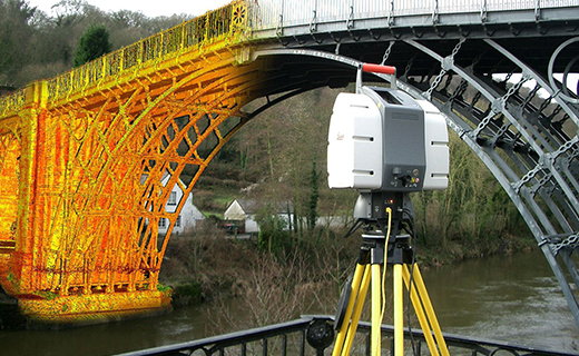
- 3D laser scanning captures existing site conditions as accurate, measurable spatial data. It helps document buildings, structures and complex environments where traditional measurements or outdated drawings may not provide sufficient detail.
- With over 25 years of engineering experience, Northern Engineering Surveys L.L.C. has supported 250+ major projects with a team of 60+ surveyors and 20+ engineers across the UAE.
- Using advanced mobile 3D laser scanning technology, we capture detailed site data and produce registered point clouds, 2D CAD drawings, 3D models and BIM-ready data.
- Our 3D laser scanning services support as-built documentation, BIM coordination, MEP documentation, renovation, retrofit, facility management and construction verification.
What Is 3D Laser Scanning?
3D laser scanning is a non-contact surveying method that captures accurate measurements of buildings, structures and site environments using laser technology. The captured measurements are processed into a 3D point cloud, providing a detailed digital representation of the existing site with X, Y and Z coordinates. Depending on project requirements, the data can be used to create existing-condition drawings, floor plans, elevations, sections, registered point clouds, 3D CAD and BIM models, Revit-ready data, MEP and structural documentation, and 360° panoramic imagery. This helps engineers, designers and contractors understand existing conditions accurately without relying only on manual measurements or outdated drawings.
3D Laser Scanning Services We Provide
1. As-Built Laser Scanning
We capture existing building and structural conditions to create an accurate spatial record of what has actually been constructed.
2. Scan to BIM Services
Laser scan data can be converted into BIM-ready information for architectural, structural and MEP coordination.
3. Point Cloud Survey & Registration
We provide registered point-cloud datasets for clients who require the raw spatial information for their own design, modelling or analysis workflows.
4. 2D CAD Drawings from Point Clouds
Existing buildings can be difficult to document accurately when original drawings are unavailable or no longer reflect site conditions.
5. Structural As-Built Survey
3D scanning can document the geometry of existing structural elements before modification, strengthening, refurbishment or extension.
6. MEP & Building Services Scanning
Dense MEP environments can be difficult to document using conventional measurements.
7. Industrial & Plant Scanning
Industrial facilities often contain dense networks of equipment, pipework, structural steel and access routes.
8. Clash Detection & Design Verification
Point-cloud data can be compared with proposed CAD or BIM models to identify differences between the existing environment and proposed design.
9. Building & Facade Scanning
We capture building interiors and external surfaces to document architectural and structural geometry.
10. Construction Progress & Verification
Repeated scanning can provide a digital record of construction conditions at different stages of a project.
NavVis VLX 2 – Our Mobile 3D Scanning Technology
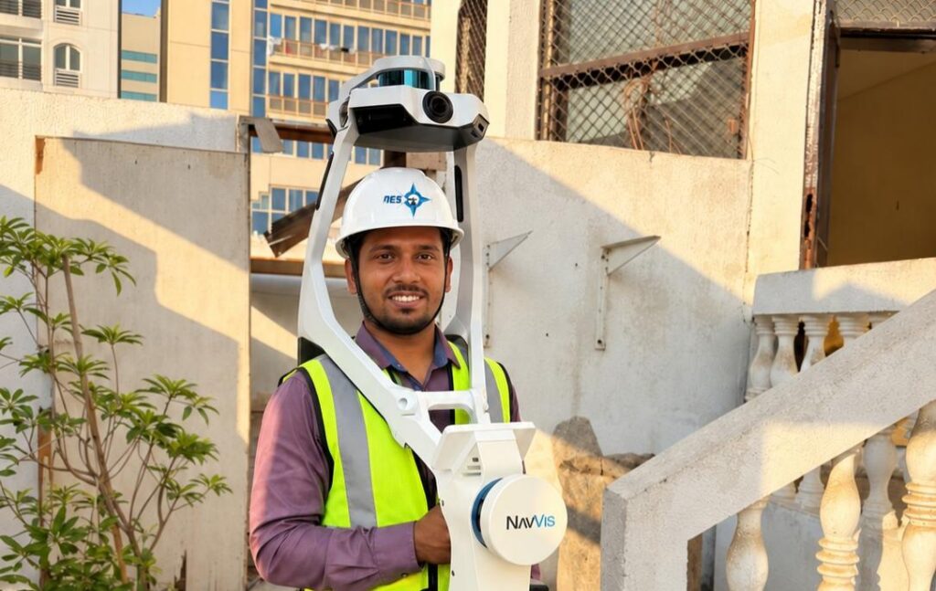
- The NavVis VLX 2 is a wearable mobile mapping system used by Northern Engineering Surveys for efficient 3D reality capture across buildings, infrastructure and complex sites.
- It combines LiDAR scanning, panoramic imaging and SLAM technology to capture detailed spatial and visual information while the operator moves through the site.
- The captured data can be processed into accurate point clouds and project-ready deliverables, supporting as-built documentation, BIM, CAD, MEP and engineering workflows.
Other Services
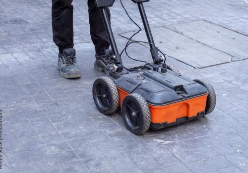
Concrete Scanning
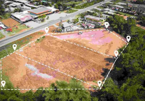
Boundary Survey
As-Built Survey
Company Profile
Our Business Statistics
Why Choose Us
Survey-Led
Scanning
Our surveying expertise ensures accurate site coverage, survey control, registration and quality checks throughout the scanning process.
Mobile Scanning for Complex Sites
Using the NavVis VLX 2, we efficiently capture detailed data across complex indoor and outdoor environments with fewer scan positions.
Engineering-Ready Deliverables
We transform scan data into point clouds, CAD drawings, BIM models, MEP documentation and other project-specific deliverables.
Project-Specific Outputs
We tailor the scanning, processing and deliverables to your project requirements, coordinate system and required level of detail.
Hear From Our Clients
NES Dubai showcases a diverse range of completed projects, indicating their expertise and rel“Professional, Prompt, and Precise!”
We’ve worked with NESDubai on multiple residential projects across the UAE. Their consistent quality and use of modern equipment set them apart from other survey firms.
“Trusted Survey Partner for Our Developments” — Omar Khalid, Director.Their BIM modeling and control point services helped us streamline our structural planning process. Communication was clear throughout the project. Will definitely work with them again.
“Highly Accurate and Detailed Surveys” — Lina Haddad, Structural Engineer.From GPS surveys to setting out for our commercial site, NESDubai’s team was on point. Their quick turnaround and technical expertise saved us both time and cost.
.“Reliable, Responsive, and Results-Driven” — James Brooks, Site Manager.3D Laser Scanning Services FAQ
What is 3D Laser Scanning?
3D laser scanning is a non-contact surveying method that captures detailed measurements of buildings, structures and site environments and converts them into a 3D point cloud.
What is 3D laser scanning used for?
3D laser scanning is used for as-built surveys, BIM, CAD drawings, MEP documentation, structural surveys, industrial plant scanning, renovation, retrofit and construction verification.
How accurate is 3D laser scanning?
The achievable accuracy depends on the scanning equipment, project environment, survey control, scan setup and processing method. Accuracy requirements are assessed according to the project’s intended use.
What is the NavVis VLX 2 used for?
The NavVis VLX 2 is a wearable mobile mapping system that combines LiDAR, panoramic imaging and SLAM technology to efficiently capture detailed spatial data across buildings, infrastructure and complex sites.
Can you scan large industrial or commercial facilities?
Yes. Mobile 3D laser scanning can be used for industrial plants, warehouses, commercial buildings, infrastructure and other large or complex environments, subject to project requirements.
How long does a 3D laser scanning survey take?
The duration depends on the site size, complexity, required coverage, accuracy and deliverables. Our team can determine the appropriate scanning approach after reviewing the project requirements.
NES Dubai handled all our demarcation and as-built survey requirements perfectly. Their team was knowledgeable and ensured everything was approved by Dubai Municipality without delays.
“Excellent Service for Construction Permits” — Fatima Al Suwaidi, Architect.