Professional Land & Engineering Survey
As leaders in the Survey, structural and landscape engineering field with a combination of over 25 years of experience in engineering, we are able to assist in all of your engineering needs.
Topographic & Terrain Survey Services
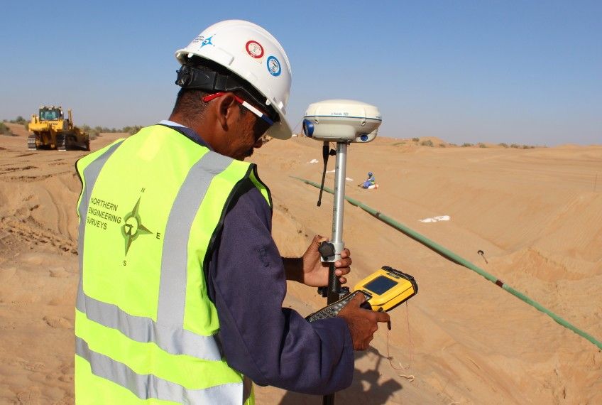
We conduct detailed topographic and terrain surveys to capture natural and man-made features, elevations, and contours. Our data supports planning, design, and earthwork calculations for construction, coastal, and infrastructure developments.

Leading Land Surveyor in Dubai
Your go-to land surveyor in Dubai since 2000. Reliable & accurate services for all construction & development needs in UAE.
GPS & GNSS Land Surveying Services
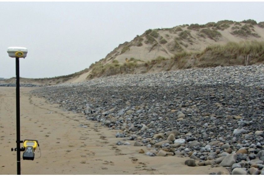
Our GPS and GNSS land surveying services provide high-accuracy positioning for large-scale infrastructure, roadways, and open-area projects. We use advanced satellite technology to deliver fast, reliable, and cost-effective survey data in challenging environments.
A rigorous measured land survey by Total station and GPS is an excellent starting block for your development.
At our companies we employ dedicated building surveyors experienced in producing a high standard…
GPS RTK units are fantastic tool for collecting large volumes of level data over open areas at a reasonable price quickly.
NORTHERN ENGINEERING SURVEYS L.L.C
Our company offers various services in the field of land surveying, GIS, Road, Canal, Pipe line alignment and Optimization, Bridge alignment and setting out, Control as well Geodetic Survey, Property survey, as Built Survey, Utility Location survey, Cadastral Surveys, Piling surveying works, Landscaping surveying works, Experimental survey company, Cut fill quantities surveying works, supply of qualified surveyors crews.
Struggling with Surveyor Shortages, Delays, and Rising Costs?
Lack of skilled land surveyors, long recruitment cycles, and expensive equipment often slow projects and increase costs at critical stages of construction. Our contract-based land surveyor supply solves these pain points by providing experienced, site-ready surveyors exactly when you need them, on short- or long-term contracts. Fully equipped with modern GNSS and total station technology, our surveyors integrate seamlessly with your project team, ensuring accurate setting-out, as-built surveys, and uninterrupted site progress—without the burden of hiring, training, or equipment investment.

We Provide Land Survey Applications Services for a Vast Array of Projects and Clients by Specializing in Top Engineering Companies
- Land Survey Applications
- Site Topographical Survey
- Demarcation and Gate level Computation
- Scanning
- Setting out
- Finished CAD Drawings and Plans
- 3d Architectural plan Surveys
- Elevations & Street Scene Surveys
- Site GPS Control
- GPS Surveying
- Total Station Survey
- Dumpy levels survey
- GPS survey
- Experimental survey
Recent Blogs
From Burden to Benefit: Why Outsourced Surveyor Contracts are the…
From Burden to Benefit: Why Outsourced Surveyor Contracts are the New Procurement Standard In the…
Why You Need a Topographical Survey in Dubai—Right Now
In Dubai’s construction world, “measure twice, cut once” isn’t a cliché—it’s a multi-million-dirham survival strategy.…
Land Survey Services: The Essential Guide Before You Hire
Choosing the right land survey service is a critical first step for residential, commercial, and…
Company Profile
Our Business Statistics
OUR CLIENTS


