
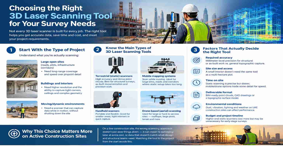
Not every 3D laser scanner is built for every job. A scanner that’s perfect for mapping a tight interior space can be the wrong choice for a large open construction site — and picking the wrong tool usually means lost time, extra cost, or data that doesn’t hold up to accuracy requirements. Here’s how to think through the decision.
Start With the Type of Project
Before comparing devices, get clear on what you’re actually scanning:
- Large open sites (roads, plots, infrastructure corridors) — need long-range coverage and speed over pinpoint detail
- Buildings and interiors — need higher resolution and the ability to capture tight corners, ceilings, and complex geometry
- Moving/dynamic environments — need a scanner that can capture data while in motion, without the site being shut down
The project type narrows your options fast, before you even look at specs.
Know the Main Types of 3D Laser Scanning Tools
Terrestrial (static) laser scanners
Set up on a tripod at fixed points, these deliver very high accuracy and dense point clouds. Best for structural surveys, as-built documentation, and projects where precision matters more than speed.
Mobile mapping systems
Mounted on a vehicle, backpack, or trolley, these scan while moving — ideal for large sites, roads, and corridors where setting up a static scanner at every point would take too long.
Handheld scanners
Portable and flexible, good for smaller areas, tight interiors, or quick capture where a full static setup isn’t practical.
Drone-based (aerial) laser scanning
Used for large or hard-to-access sites — rooftops, large plots, terrain — where ground access is limited or would take too long on foot.
Factors That Actually Decide the Right Tool
- Required accuracy — millimeter-level precision needed for structural or as-built work vs. general topographic capture
- Site size and access — a small interior doesn’t need the same tool as a multi-hectare plot
- Time on site — static scanning is precise but slower; mobile/drone options trade some detail for speed
- Deliverable format — does the project need BIM-ready point clouds, CAD drawings, or a topographic surface model
- Environmental conditions — dust, vibration, lighting, and weather on UAE construction sites can affect scanner performance and choice
- Budget and project timeline — higher-end static scanners cost more but may be unnecessary for early-stage surveys
Why This Choice Matters More on Active Construction Sites
On a live construction site, the wrong scanning approach doesn’t just slow things down — it can mean re-surveying later at extra cost, or data that doesn’t match what design and structural teams need. Matching the tool to the project from the start avoids this.
Need 3D Laser Scanning for Your Project?
Get accurate scanning and survey data with Northern Engineering Surveys L.L.C.
Services: 3D Laser Scanning | Topographic Survey | As-Built Survey | Volume Calculation
Website: nesdubai.com