
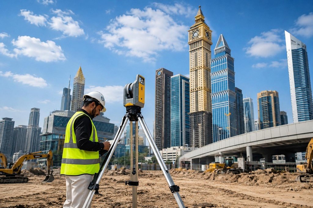
Most construction problems start before anyone pours concrete. A designer works from a plot size that is slightly off. A wall goes up close to the boundary. A driveway ends up lower than the road. Each of these mistakes can be traced back to one missing step: measuring the land properly.
A plot survey is that step. It records the size, shape, boundaries and levels of a piece of land, so everyone starts from the same facts. This guide explains what a plot survey includes, when you need one and how to get a result you can use. At Northern Engineering Surveys, we carry out plot surveys for villas, commercial plots and developments across Dubai and the wider UAE. The points below come from that work.
What a Plot Survey Actually Is
A plot survey is a measured record of a land parcel. A surveyor visits the site, measures it with precise instruments and turns the data into a drawing.
That drawing usually shows the plot outline, the corner points, the dimensions of each side and the area. It also shows what already stands on the land, such as walls, gates, buildings, trees and services. Many people call the result a plot plan survey or a plot survey map. The names differ, but the idea is the same: a clear picture of the land as it is today.
Why a Plot Survey Matters
Land on paper and land on the ground do not always match. Title documents give the official size, but they do not tell you where the corners sit on site or how the ground slopes.
A plot survey fills that gap. It helps you:
- Confirm the real size and shape of the plot.
- See whether walls or buildings sit inside the boundary.
- Plan a design that fits the land.
- Avoid disputes with neighbours.
- Give the authority and your consultants reliable data.
Without it, small errors travel through the project. A few centimetres at the boundary can turn into a rejected drawing or a wall that has to move.
When You Need a Plot Survey
You may need a plot survey at several points:
- Before buying land, to confirm what you are paying for.
- Before design, so the architect works from real dimensions.
- Before construction, to mark the building position and check levels.
- When a boundary is unclear or disputed.
- When you plan to extend, divide or change the use of a property.
- When an authority or consultant asks for a survey drawing.
In short, if money, design or a boundary depends on the land, a plot survey is worth doing first.
What the Survey Measures
The scope can vary, but a typical plot survey records the following.
Boundaries and corners. The surveyor locates the plot corners and measures each side. Where marks are missing, demarcation places the corners on the ground, using the official plot data.
Existing features. Walls, fences, gates, buildings, kerbs, poles and visible services are measured and drawn.
Levels and ground shape. A topographic survey adds spot levels and contours, which show how the land rises and falls. This matters for drainage, basements and access.
Coordinates. Each key point receives coordinates in a stated system, so the drawing ties to the wider area.
How a Plot Survey Works Step by Step
The process is simple when planned well.
- Brief and data. You share the plot number, title documents and any earlier drawings. You also say what the survey is for.
- Control. The crew sets or checks reference points on site. Our control points work gives the survey a reliable base.
- Fieldwork. The team measures the corners, boundaries, features and levels. A GPS survey suits open plots, while a total station handles tight areas and details.
- Drafting. The data becomes a clean CAD drawing with dimensions, area and notes.
- Checking and delivery. A second person checks the drawing against the field data before it reaches you.
For a standard villa plot, the fieldwork often takes a short visit. Larger or more complex sites take longer.
What You Receive
Most clients receive a CAD plan showing the plot outline, dimensions, area, features and levels. You may also receive a PDF copy, a coordinate list and, if requested, a marked-up comparison with the title plan.
Make sure the drawing states the survey date, the coordinate system and the datum for levels. These small details make the drawing easy to trust and easy to reuse later.
Plot Survey and Underground Services
A plot survey shows what you can see on the surface. It does not reveal what lies underground.
If you plan to dig, build foundations or lay new lines, add a utility survey. It locates buried pipes and cables before work starts. Our post on utility survey in Dubai explains why that check protects both your budget and your crew.
How a Plot Survey Fits With Other Surveys
A plot survey is often the first of several. As the project moves forward, other surveys build on it.
Once design is ready, setting out marks the building corners and axes on the ground. For entrances, a gate level computation checks that gate, driveway and road levels work together. After construction, an as-built survey records what was actually built. When all of these share one control network, the drawings line up from start to finish.
What Affects the Price of a Plot Survey
There is no single price, because each plot is different. The main factors are:
- The size and shape of the plot.
- The number of features to measure.
- Whether levels and contours are needed.
- Access and site conditions.
- Whether boundary marks must be re-established.
- The drawing format and how fast you need it.
Describing your purpose clearly helps the team suggest the right scope, and keeps you from paying for detail you do not need.
Common Mistakes to Avoid
- Skipping the survey and trusting old drawings.
- Ordering it after the design is finished, which forces redesign.
- Assuming the existing wall marks the real boundary.
- Forgetting levels, then discovering drainage problems later.
- Using a different coordinate system from the rest of the project.
All of these are easy to avoid with a short conversation at the start.
Conclusion
A plot survey gives you a clear, measured record of your land before you spend money on design or construction. It confirms boundaries, shows the ground, and keeps every later stage working from the same facts.
If you plan to buy, design or build on a plot, contact our team. Share your plot details and purpose, and we will suggest a clear scope.
FAQ
What is a plot survey?
It is a measured record of a land parcel. It shows the boundaries, dimensions, area, existing features and, when needed, ground levels.
What is the difference between a plot survey and a topographic survey?
A plot survey focuses on the boundaries and features of a specific parcel. A topographic survey adds detailed ground levels and contours. Many projects combine the two.
How long does a plot survey take?
A standard villa plot often needs a short site visit, followed by drafting and checking. Larger or more complex sites take longer.
Do I need a plot survey before building?
In most cases, yes. It gives the designer real dimensions and levels, and helps avoid boundary and drainage problems. Requirements also depend on the authority and the project, so confirm them early.
What do I receive after a plot survey?
You usually receive a CAD drawing and a PDF showing the plot outline, dimensions, area, features and levels. You can also request a coordinate list.
Can a plot survey find buried pipes and cables?
Not by itself. A plot survey records visible features. For underground lines, add a utility survey.
What affects the cost of a plot survey?
Plot size, the number of features, whether levels are needed, site access and turnaround time all affect the price. A clear brief helps the team quote accurately.