Mobile Mapping
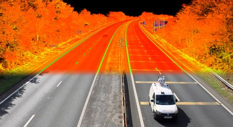
Mobile Mapping Systems are the combination of various navigation and remote sensing technologies on a common moving platform.
They are capable of providing fast, efficient and complete data collection. There are often three main components in MMS: positioning system, camer- a(s) and LIDAR. The positioning is done through GPS/GNSS and inertial mea- surement units. By using these systems, the data can be recorded continuous- ly and accurately. By using the technology huge data can be taken very fast. The collected data will be processed with sophisticated software. The MMS mainly using to do the survey for Entire Cities, Highway Network, Railway corri- dors, Utility corridors and large plots. Using the MMS has been changed all the aspects of traditional mapping and survey.

