
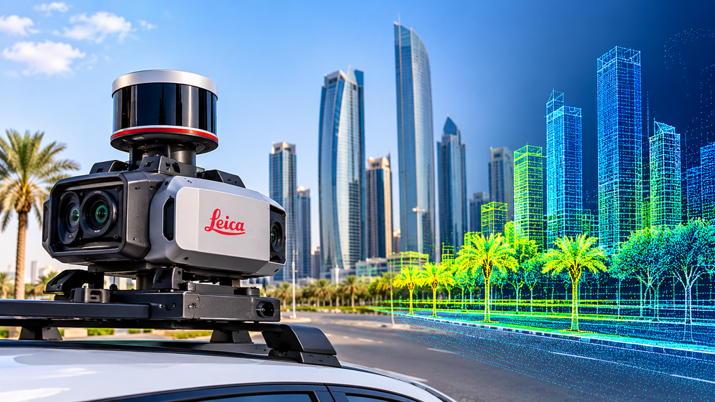
1. What Leica Mobile Mapping Means
Leica mobile mapping uses systems built by Leica Geosystems, a well-known survey equipment maker. Its mobile mapping line is called Pegasus.
- Laser scanners, cameras, GNSS and motion sensors sit on one unit.
- The unit is fixed to a vehicle, or carried on foot.
- You drive the route at normal speed, and the system records the surroundings.
You end up with a detailed 3D record of the road, the kerbs, the signs and the buildings beside it.
2. The Pegasus Family in Simple Words
Leica sells more than one type of unit. Two are easy to understand:
- Pegasus:TRK is mounted on a vehicle. It suits roads, highways and junctions.
- Pegasus:Backpack is carried by a person. It suits footpaths, parks and tight spots where a car cannot go.
The right choice depends on the site. A long road needs the vehicle unit. A walkway or a building entrance needs the backpack.
3. Where It Works Best, and Where It Needs Help
Mobile mapping is strongest on long, open corridors.
Works well for:
- Road and junction surveys
- As-built checks of finished roads, such as a highway as-built survey
- Street asset records such as signs, lights and kerbs
Needs extra care in:
- Tunnels and under bridges
- Streets with tall buildings that block the satellite signal
In these spots the signal gets weak. Surveyors fix this with ground control points and careful processing. A good survey team plans for it before the drive.
4. What You Receive After the Drive
The raw data is not the final product. Most clients ask for one or more of these:
- A point cloud, which is a 3D model made of millions of points
- Panoramic images of the route
- Drawings with the road edges and features
- A ground surface model for levels and slopes
If you need ground levels, the topographic survey team can use the same data. If you want a detailed model of a building or structure beside the road, 3D laser scanning can add that detail.
5. How to Check the Data Before You Accept It
A well-known brand does not guarantee good data. The result depends on how the job was done. Check these points:
- Control points: Ask which known points were used to correct the data.
- Accuracy report: Ask for a short report that states the accuracy.
- Spot checks: Compare a few points with a GPS survey measurement.
- Method: Ask the team to explain its survey methodology in simple steps.
- Coverage: Look for gaps where the vehicle could not see, such as behind parked trucks.
Five minutes of checking now can save weeks of rework later.
Conclusion
Leica mobile mapping is a fast way to record long roads and busy streets without closing them. It works best when the team plans control points, checks the data and delivers files you can use. The brand matters less than the process behind it. To plan a mobile mapping job, contact our team.
FAQs
1. What does Leica mobile mapping capture?
It captures a 3D point cloud and photos of everything along the route. This includes roads, kerbs, signs, poles and building fronts.
2. Is Leica the only mobile mapping brand?
No. Trimble and others also make professional systems. A Leica vs Trimble choice matters less than the survey method and control.
3. Can it work on foot?
Yes. A backpack unit can map footpaths, parks and tight areas.
4. Does it work under bridges and in tunnels?
It can, but the satellite signal is weak there. Control points and processing fix most of the error.
5. How long does a mapping drive take?
The drive itself is quick. The office work afterwards takes longer, and the time depends on the route length and the files you need.
I used the NES pages I have seen on nesdubai.com. I did not check that every link still loads, so test them before you publish. NES has no separate CAD page, so I linked the topographic and 3D laser scanning pages instead. I also did not say NES owns Leica equipment, because I don’t know that. If you tell me which systems the team really uses, I can add that line.