
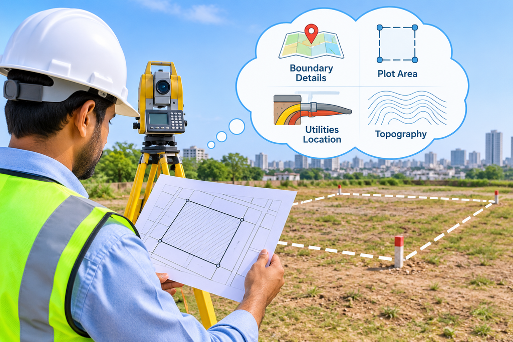
Most owners file their plot survey map the day they receive it. It goes into a folder with the title deed and stays there until something goes wrong. A neighbour’s wall sits a little too close. A contractor says the plot feels smaller than the paperwork claims. A consultant asks for the corner coordinates, and nobody can find them.
The answer was on the map all along. A plot survey map records where your land starts, where it stops, how big it is and what limits its use. This guide walks you through reading one, from the basic details in the corner of the sheet to the finer points that matter before you build. If you need a fresh map for your own land, our plot survey service covers exactly that.
Understanding the Plot Survey Map: Purpose and Scope
A plot survey map is a scaled drawing of one piece of land. It shows the boundary, the side lengths, the area and the corner coordinates. Many maps also show nearby roads, neighbouring plots, existing structures and ground levels.
In Dubai, people use the term for two related documents.
- The official plot map : Dubai Municipality and the Dubai Land Department (DLD) issue maps tied to the land record. You will often hear this called an affection plan. Depending on the plot, it shows the plot number, boundary, area and coordinates. It can also show land use and building limits.
- The surveyor’s plot survey : A licensed surveyor measures the plot on site and draws what is actually there.
The first tells you what the record says. The second tells you what the ground shows. Good decisions need both.
It also helps to know how the plot map differs from two other documents you will handle.
| Document | The question it answers |
| Plot survey map | Where is the plot, and how big is it? |
| Title deed | Who owns it? |
| Site plan | What is built, or what will be built, on it? |
Key Reference Details: Plot Number, Scale, North Arrow and Issue Date
Spend your first two minutes on the title block and the edges of the sheet. Four details sit there, and each one can save you trouble.
Plot number : It must match your title deed and your building permit. A wrong number means you are looking at the wrong plot. Check the community or sector name next to it as well. Each plot also carries a Makani number, which emergency services and utilities use to find it.
Scale : A scale such as 1:500 tells you how much the drawing shrinks the real plot. Do not measure distances on a printout with a ruler. Printing and PDF resizing change the scale. Read the written dimensions instead.
North arrow : It shows how the plot sits against north. Without it, the bearings and the layout make no sense.
Issue date and revision : A map without a recent date is a warning sign. Plots change, and old maps do not.
Look for two technical notes too. Dubai maps normally state coordinates in the Dubai Local Transverse Mercator (DLTM) system. They state levels against the Dubai Municipality Datum. Every other number on the sheet depends on those two references.
Boundary Definition: Corner Points, Bearings and Distances
The boundary is the heart of the map. It is a closed shape, and the map describes it in three ways.
- Corner points : Each corner has a label, such as A, B, C and D, or numbers. A coordinate table lists the Easting (X) and Northing (Y) of every corner.
- Distances : Each side carries its length in metres.
- Bearings : A bearing is the direction of a line, measured as an angle from north. Not every map prints them, but many do.
The map also names the plots beside you. Check those numbers. They tell you who your neighbours are on record, and they help when a boundary comes into question.Coordinates only mean something when they connect to known reference points on the ground. That is the job of survey control points. To find where the corners really sit on your land, a surveyor carries out plot demarcation. The surveyor marks each corner so you can see the boundary instead of imagining it.
Plot Area Discrepancies Between the Survey Map and the Title Deed
Owners often find that the area on the map differs from the area on the deed. Before you worry, check the usual causes.
- Units : One square metre equals about 10.764 square feet. A deed in square feet and a map in square metres will never look alike until you convert.
- Rounding : The map calculates area from coordinates. The deed may show a rounded figure.
- Different dates : The deed may follow an older record, while the map reflects a later revision of the plot.
- Measured against recorded : A field survey measures the land as it is. The record shows the land as it was registered.
A small gap that rounding or units explain is normal. A gap you cannot explain is not. Do not sign, pay a deposit or start design work on a figure you doubt. Ask for a fresh survey and settle the number first.
Setbacks, Easements and Restrictions on Buildable Land
Owning a plot does not mean you can build on every square metre of it. Three limits shape what you can do.
- Setbacks : A setback is the minimum distance between your building and the boundary. It leaves a strip around the structure that must stay clear.
- Easements : An easement is a strip that others have the right to use, such as a corridor for utility lines.
- Use and size limits : Many plots carry an approved land use, a height limit and a cap on built-up area.
Not every plot map shows all of these. Some of the detail sits in plot guidelines from the authority or the master developer, and the rules change from one community to the next. Confirm the current limits with the issuing authority before you finalise a design. Then draw the buildable zone on the plan first. Everything else fits inside it. Also check what runs under the plot. A utility survey shows the cables and pipes that can block a foundation.
Ground Levels and Existing Features Within the Plot
A good plot survey map shows more than the outline. Look inside the boundary.
Levels : Spot levels or contour lines show how the ground rises and falls. Dubai levels refer to the Dubai Municipality Datum. These numbers decide drainage, access and how much earth you cut or fill.
Existing features : Walls, old structures, poles, manholes, kerbs, trees and gate openings often appear on the sheet. Each one is something you will remove, protect or design around.
For a plot with a lot of level change, a full topographic survey gives far more detail than a standard plot map. If the plot meets the road at a different height, gate level computation sets the entry levels correctly.
Outdated Survey Maps: Plot Mergers, Boundary Disputes and Re-Surveys
A map is a record of one moment. The land keeps changing after that moment.
Treat your map as outdated if any of these is true.
- The plot has been merged or split since the map was issued.
- The authority has revised the plot or the community plan.
- Construction has started on a neighbouring plot.
- The boundary marks are missing or disturbed.
- The sheet shows an issue date from several years ago.
Designing on an old map is how clashes begin. The drawing says one thing, the ground says another, and the site team finds out when the excavator arrives.
Get the latest map from the authority. Then order a new plot survey if the site and the paper disagree. Once you build, an as-built survey confirms that every structure sits inside your boundary and within the approved limits.
Conclusion
A plot survey map is more than a drawing in a folder. It tells you where your land begins and ends, how large it is, what limits its use and what already stands on it. Read it before you buy, design or build, and most boundary and area problems show up while they are still cheap to fix.
If your map is old, or something on site does not match it, the safest step is a fresh survey. Talk to our team through the contact page and we will help you start with the right survey for your plot.
Frequently Asked Questions
1. What is a plot survey map?
It is a scaled drawing of a plot. It shows the boundaries, dimensions, area, corner coordinates and key features.
2. Who needs a plot survey map?
Owners, buyers, contractors and consultants need one before they buy, design, build or sell a plot.
3. How is a plot survey map different from a title deed?
The title deed records legal ownership. The survey map shows the physical boundaries and measurements of the land.
4. Can I build using an old plot survey map?
It is risky. Mergers, boundary changes and nearby construction can make an old map wrong. Verify it, or order a fresh survey first.
5. How long does a plot survey take?
A small, accessible plot is often finished within a few days. Larger, merged or hard-to-reach plots take longer.