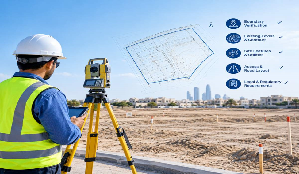
Plot Survey for Land Development: What to Check Before Design Begins
Plot Survey for Land Development: What to Check Before Design Begins A piece of land may look ready for development,

Plot Survey for Land Development: What to Check Before Design Begins A piece of land may look ready for development,
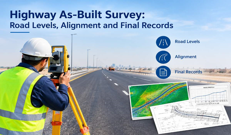
Highway As-Built Survey: Road Levels, Alignment and Final Records A highway as-built survey records the actual condition of a completed
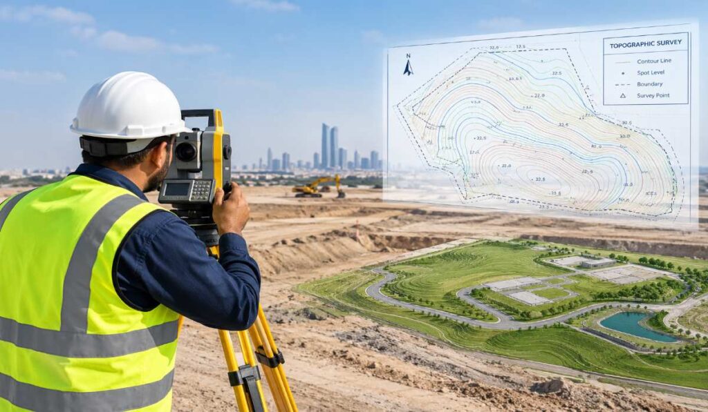
Topographic Survey: How Survey Plans Support Better Site Design Introduction Before construction begins, understanding the land is essential for effective
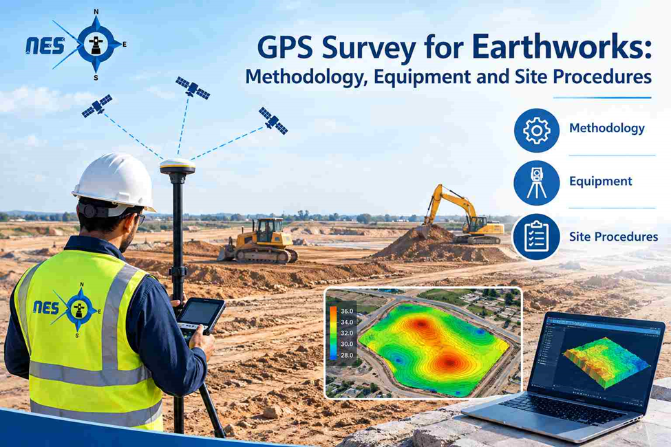
GPS Survey for Earthworks: Methodology, Equipment and Site Procedures GPS surveys provide accurate coordinate and elevation data for earthworks, helping
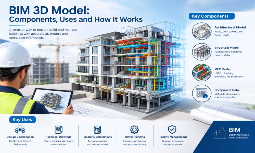
BIM 3D Model: Components, Uses and How It Works A building project involves architectural drawings, structural details, mechanical systems, electrical
Demarcation in Phased Construction Projects: Managing Plot Boundaries Across Site Changes Introduction Large construction projects often progress in phases, with

Understanding GPS Survey Accuracy: Coordinate Systems, Datums, Geoid Models and Measurement Errors GPS surveying allows surveyors to determine the position
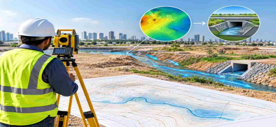
How Topographic Survey Supports Drainage Design and Surface Water Management Introduction Drainage design begins with understanding the ground. Before engineers
How to Read a Topographical Survey Map: Contours, Spot Levels and Coordinates A topographical survey map shows the shape of

Photogrammetry vs 3D Laser Scanning: Accuracy, Data and Applications When a construction project needs reliable 3D measurements, choosing the right