🌍 Introduction
A topographical survey is one of the most essential stages in design and construction planning. It provides a detailed and accurate representation of the land’s surface, showing natural and man-made features, elevations, contours, and boundaries. Engineers, architects, and planners rely on this data to make informed design and construction decisions.
In 2025, successful construction starts with accurate land data. Industry reports reveal that bad data costs the construction sector up to $1.8 trillion globally each year and 14% of rework is directly linked to data errors. Missing or inaccurate surveyor‑verified topographical surveys are one of the leading causes of costly mistakes, delays, and design rework.
📖 What is a Topographical Survey?
A topographical survey (or topographic survey) is the process of mapping the features and elevation of a specific area of land.
It identifies details such as:
- Natural features like hills, trees, and rivers
- Man-made features like roads, buildings, and walls
- Elevation points and contour levels
The data is used to prepare topographic drawings that represent the land in both 2D and 3D formats.
📐 What is a Topographic Drawing?

A topographic drawing (or topo drawing) is a scaled representation of the land area surveyed. It displays:
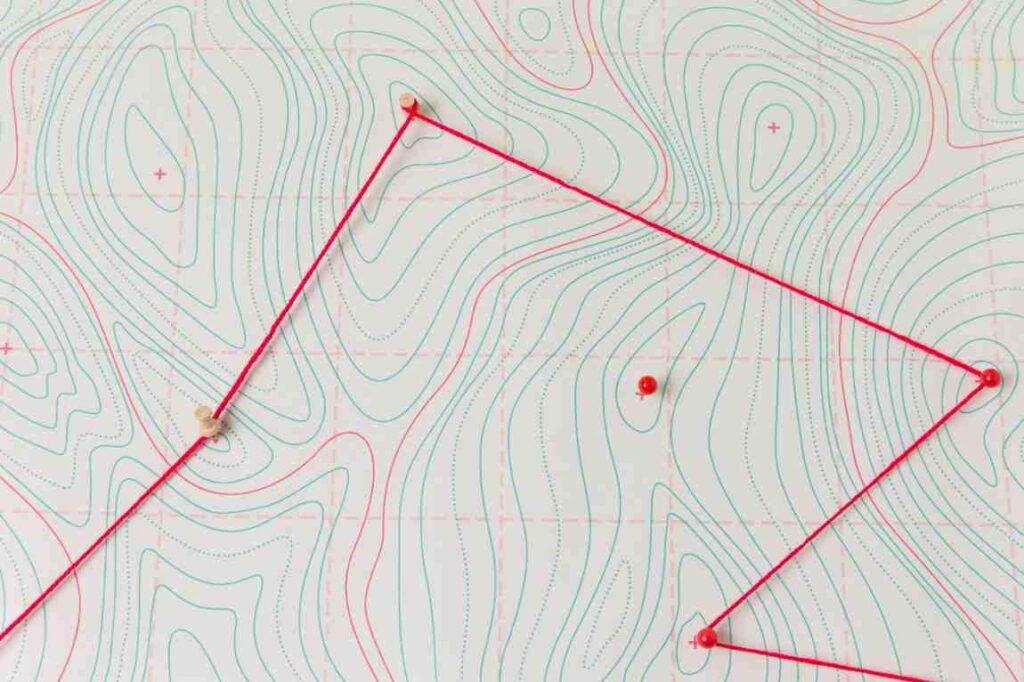
- Contour lines to show elevation changes
- Existing structures and boundaries
- Spot levels and benchmarks
- Natural features like slopes, water bodies, and vegetation
These drawings are essential for architectural and structural design, helping engineers understand how the terrain will affect construction.
✅ Example:
In a housing project, a topographic drawing shows which parts of the site are higher or lower, helping determine drainage flow, foundation design, and cut-fill requirements.
🧭 Topographical Survey vs Land Survey
Though both are part of surveying, they serve different purposes.
| Feature | Topographical Survey | Land Survey |
| Purpose | Maps terrain, elevation, and features | Defines legal property boundaries |
| Output | Contour maps and elevation data | Boundary maps and ownership details |
| Used For | Design, planning, engineering | Property division, legal documentation |
| Instruments Used | Total Station, GPS, Drone | Total Station, Theodolite, GPS |
| Common Users | Engineers, Architects, Planners | Property owners, Real Estate, Legal teams |
👉 In short:
A topographical survey shows what the land looks like, while a land survey shows where the land ends.
🧠 Example of Topography
Let’s understand with a simple topography example:
Relief Features: Natural variations in elevation, such as mountain ranges, high plateaus, low-lying valleys, and expansive plains.
Drainage Systems: The paths water takes, including rivers, streams, drainage basins, and the natural slope (gradient) of the land that dictates water flow.
Man-Made Alterations: Human changes to the landscape, like road cuts and fills, terraced farmlands, reservoirs created by dams, and the shape defined by large urban settlements.
🏗️ Topography in Civil Engineering
In civil engineering, topography plays a critical role in project design and execution.
📌 Importance:
- Road and Highway Design: Determines gradient, slope, and alignment.
- Drainage and Water Flow: Helps in proper channel and drainage system planning.
- Foundation and Structure Design: Ensures structures are built on stable, leveled ground.
- Earthwork Calculations: Assists in estimating excavation and filling volumes.
- Urban Planning: Supports the design of roads, utilities, and buildings according to natural terrain.
🗺️ Components of a Topographical Survey Report
After the field survey is complete, surveyors compile data into a survey report containing:
📄 Typical Deliverables:
- Topographic Drawings – 2D/3D maps with contour lines and features.
- Digital Terrain Model (DTM) – 3D representation of the surveyed surface.
- Spot Level Data – Elevation points recorded in coordinate format.
- Contour Map – Shows elevation differences visually.
- Survey Report Document – Includes project overview, accuracy checks, and benchmark details.
Each element helps engineers and architects visualize site conditions before starting any design or construction activity.
📊 Tools and Technology Used in Topographical Surveys
Modern surveys use advanced tools for accuracy and efficiency:
- Total Station – Measures distance and elevation precisely.
- GPS / GNSS – Captures real-time coordinates and elevation.
- Drones & UAVs – Generate aerial imagery and digital surface models.
- 3D Laser Scanners (LiDAR) – Captures millions of data points for complex terrain.
🧩 Benefits of Conducting a Topographical Survey
- Avoid design errors caused by unknown site features.
- Save time and costs during site planning.
- Improve safety by identifying potential hazards or drainage issues.
- Support sustainable and efficient design layouts.
🏁 Conclusion
A topographical survey forms the foundation of every successful construction or infrastructure project. It ensures that the design aligns with real-world site conditions, reducing errors and improving project efficiency.
Northern Engineering Surveys Company provides high‑precision topographical surveys in 2025, helping builders, developers, and architects deliver projects flawlessly.
