
Topography Survey
A topographic survey maps the natural and man-made features of a land area, including elevations, contours, and structures.

Boundary Survey
Precisely defines the legal property lines and corners of a parcel of land using official and land survey.

As-Built Survey
Documents the exact location of completed structures and improvements on a site for a legal and planning purposes.

Setting Out
Marks the accurate position of proposed structures to guide construction according to design plans.

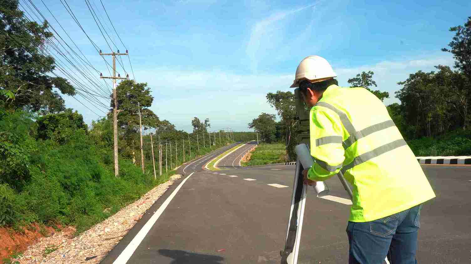
Road Survey
A road survey provides accurate land and alignment data essential for the planning, design, and construction of roadways.

Volume Survey
This term encapsulates the concepts of calculating volumes based on topographic and evaluating data.
NES Dubai handled all our demarcation and as-built survey requirements perfectly. Their team was knowledgeable and ensured everything was approved by Dubai Municipality without delays.
“Excellent Service for Construction Permits” — Fatima Al Suwaidi, Architect.