
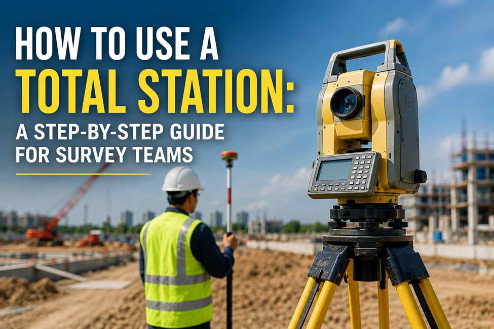
A Total Station can measure an angle and distance in seconds. But getting a usable survey point is not as simple as pointing the telescope at a prism and pressing a button.
On a real site, the surveyor has to decide where to set up, which reference to use, how to orient the instrument, whether the prism is positioned correctly, and whether the measurement makes sense.
That fieldwork is where most of the important decisions happen.
Total Station Land Survey: Where the Instrument Actually Comes In
A Total Station land survey works from a known survey station. The instrument observes points around it and uses those measurements to determine their position.
It becomes particularly useful when the survey requires controlled point-to-point measurements.
Common situations include:
- Construction setting out — transferring design points from drawings to the ground.
- Building work — checking positions of columns, walls, foundations, and other structural points.
- Control work — checking or extending survey control across a site.
- Boundary and plot surveys — locating required points and features.
- Detailed measurements — collecting points where GPS/GNSS is not the practical choice.
- Indoor and obstructed areas — working around structures where satellite visibility is limited.
NES already uses Total Stations as part of its wider surveying equipment and field operations.
How to Use a Total Station: What Happens on Site?
The actual workflow can vary between projects, but a surveyor will normally work through several checks before accepting a measurement.
1. Choose the Survey Station
The first decision is where the instrument should stand.
The surveyor considers:
- Existing control points
- Visibility to the working area
- Visibility to the backsight
- Site access
- Stability of the ground
- The number of points that can be observed from the station
A good station position can save a lot of unnecessary instrument moves later.
2. Set Up and Centre the Instrument
The tripod is positioned over the selected station.
The Total Station is then:
- Mounted on the tripod
- Centred over the survey point
- Levelled
- Checked before observations begin
The surveyor also records the instrument height when it is required for the calculation.
This is one of those jobs that looks simple but needs care. If the instrument is not properly centred, the error can carry through to the points measured from that station.
3. Check the Reference Point
The instrument needs a reliable reference before measurements start.
The surveyor normally observes a known backsight point and uses it to establish the instrument’s direction.
Before continuing, the surveyor checks that the reference agrees with the project’s control information.
If the backsight does not make sense, the right response is to stop and investigate it rather than continue collecting points.
4. Check the Prism Setup
The prism pole is positioned over the point being surveyed.
The surveyor checks:
- Prism position
- Pole verticality
- Prism height
- Target visibility
- Measurement mode
If a prism cannot be safely placed at a particular location, a reflectorless observation may be possible depending on the instrument and the surface.
5. Measure the Point
Once the setup is ready, the surveyor sights the target.
The Total Station observes the:
- Horizontal angle
- Vertical angle
- Slope distance
The field controller can then calculate the point’s coordinates and elevation based on the survey setup.
The important part is not simply obtaining a number. The surveyor needs to know whether that number belongs where it is supposed to.
6. Give the Point a Useful Description
A survey can contain hundreds or thousands of observations.
A point description helps the office team understand what each observation represents.
For example:
- BLDG-CORNER
- KERB
- MANHOLE
- COLUMN
- ROAD-EDGE
- BOUNDARY
Clear coding makes the final survey data much easier to process and use.
7. Check the Measurement
This is where field experience becomes important.
Before accepting a point, the surveyor can compare it with:
- Existing control
- Nearby observations
- Design information
- Previous measurements
- Expected site conditions
If a point is unexpectedly far from where it should be, the surveyor needs to find out why.
Possible causes could include:
- Incorrect target position
- Wrong prism height
- Poor instrument setup
- Wrong point selected in the controller
- Incorrect orientation
- A problem with the reference
It is much easier to find the problem while standing on the site than after the data has already gone into a CAD drawing.
What Happens When the Surveyor Moves the Instrument?
Large sites often cannot be covered from one instrument position.
When the surveyor needs to move, the new station must still relate correctly to the existing survey control.
The process may involve:
- Selecting another suitable station.
- Setting up and centring the instrument.
- Checking the instrument height.
- Observing known control points.
- Establishing the new orientation.
- Checking the results.
- Continuing the survey.
The goal is simple: the new station should remain tied to the same survey reference as the previous station.
This becomes especially important on large construction projects where different areas are surveyed at different times.
What Does a Surveyor Check Before Accepting a Point?
A good field check does not have to be complicated.
The surveyor may ask:
- Is the instrument still properly centred?
- Is it level?
- Is the correct station being used?
- Is the backsight correct?
- Is the prism pole vertical?
- Is the prism height correct?
- Does the point appear in the expected location?
- Does a repeat observation agree?
- Does the measurement fit the existing control?
These checks help catch mistakes before they become drawing or construction problems.
Total Station vs GPS: When Would a Surveyor Choose One?
There is no single instrument that suits every site.
GPS/GNSS is useful when:
- The area is large and open.
- Many coordinates need to be collected.
- Satellite visibility is good.
- Wide-area site control is required.
- The survey covers roads or long infrastructure corridors.
Total Station is useful when:
- Direct visibility to the target is available.
- Detailed point positioning is required.
- The survey is around buildings or structures.
- Satellite signals are blocked or unreliable.
- Construction setting out requires controlled local measurements.
On many projects, the two methods are used together rather than separately. NES’s own methodology describes GPS and Total Station as part of its surveying workflow.
Total Station Machine: What Features Actually Matter?
The most expensive instrument is not automatically the best choice for every survey.
The useful features depend on the work.
Manual Total Station
The surveyor operates the instrument manually and works with the prism team.
Suitable for many standard surveying and construction tasks.
Robotic Total Station
The instrument can track the prism and be operated remotely, depending on the model and setup.
This can reduce the need for a second person in some field situations.
NES currently lists both Total Station and Robotic Total Station equipment.
Reflectorless Measurement
This allows certain surfaces to be measured without placing a prism directly on the point.
It can be useful where the target is difficult or unsafe to reach, although the suitability depends on the surface and required accuracy.
Angular Accuracy
Different instruments are available with different angular specifications.
The required specification should be based on the project’s tolerance rather than simply choosing the highest specification available.
Total Station Price: What You’re Actually Paying For
If you’re pricing out a Total Station rather than hiring a survey team, here’s roughly where the market sits right now:
| Tier | Price Range | What You Get |
| Entry-level manual | $5,000 – $8,000 | Basic angle/distance measurement, manual operation |
| Mid-range | $8,000 – $15,000 | Better accuracy, improved data handling |
| Robotic / reflectorless (high-end) | $15,000 – $40,000 | Auto-tracking, reflectorless measurement, single-operator use |
Robotic tracking, reflectorless measurement, tighter accuracy, and brand — Leica Geosystems and Trimble sit at the top end — all push the price up, and that’s before calibration, software, and training costs.
Price also doesn’t guarantee compliance. In Dubai, boundary and cadastral survey work falls under Dubai Municipality’s licensing regulations — owning the instrument isn’t the same as being authorised to use it for official submissions. For short-term needs, hiring a licensed survey team is often the more practical route than buying and maintaining the equipment yourself.
Where Total Station Fits Into a Survey Project
A Total Station is normally one part of a larger survey workflow.
It may be used with:
- GPS/GNSS for wider-area positioning
- Topographic surveying for existing ground and site features
- Control surveys for maintaining the project’s reference
- Setting out for construction positions
- As-built surveying for checking completed work
NES provides these different survey services as part of its wider surveying work.
The important point is that the surveyor chooses the method based on the site, not simply the equipment available.
When Is a Total Station the Practical Choice?
A Total Station can be a good option when your project involves:
- Foundation setting out
- Column positioning
- Building layout
- Road alignment
- Structural positioning
- Detailed control work
- Boundary measurements
- Indoor surveying
- Areas with restricted satellite visibility
- Localised precision measurements
For a large open site, GNSS may cover the area faster. For detailed work around structures, a Total Station may be more practical.
The Equipment Does Not Do the Checking for You
A Total Station can produce a coordinate very quickly.
It cannot decide whether the surveyor selected the correct control point.
It cannot know that the prism height was entered incorrectly.
It cannot tell the surveyor that a point looks suspicious because it does not match the surrounding work.
Those decisions still belong to the survey team.
That is why a professional survey is not simply about having a good instrument. The setup, reference, observations, checks, and experience behind the measurements all matter.
Need a Total Station Survey Team?
Northern Engineering Surveys L.L.C. (NES Dubai) provides Total Station, GPS/GNSS, topographic, control, setting-out, and other surveying services for construction and infrastructure projects.
Our team works with professional survey equipment and established field procedures to collect the measurements your engineers and site teams need.
Contact NES Dubai to discuss your surveying requirement.