Total Station Survey UAE | 3D Project Coordination
Eliminate surveying errors in UAE! Our Total Station surveys deliver unmatched 3D data accuracy for all mapping, construction, and CAD needs.
Overcoming Surveying Challenges with Total Stations
Surveying projects often suffer from time-consuming manual processes and inherent human error. A Total Station survey directly addresses this by precisely measuring angles and distances to instantly provide accurate 3D coordinates. This advanced method ensures high efficiency, automates data collection, and seamlessly integrates with digital workflows, facilitating comprehensive CAD service for topographical land mapping, alongside complex construction projects. Northern Engineering Survey leverages this technology to deliver highly accurate and efficient solutions, overcoming traditional surveying challenges.

Other Services

GPS survey

3D laser Scanning

As-Built Survey
Company Profile
Our Business Statistics
Why Choose Us
High-Tech Total
Stations
Utilizing high-precision total stations, we achieve sub-millimeter accuracy with automated measurements and error-free data transfer for reliable, fast setups.
Seamless Data Integration
Our surveying and CAD services integrate flawlessly, ensuring maximum data integrity, eliminating loss, and delivering reliable, accurate results for smooth project execution.
Proven Experience & Expertise
Expertise Northern Engineering Survey boasts a comprehensive portfolio of successful projects, reflecting high client satisfaction and a trusted industry reputation for quality.
Tailored Project Solutions
We offer bespoke solutions supporting precise site planning for construction, land/Environmental assessments, and optimized municipal/urban planning.
Hear From Our Clients
NES Dubai showcases a diverse range of completed projects, indicating their expertise and rel“Professional, Prompt, and Precise!”
We’ve worked with NESDubai on multiple residential projects across the UAE. Their consistent quality and use of modern equipment set them apart from other survey firms.
“Trusted Survey Partner for Our Developments” — Omar Khalid, Director.Their BIM modeling and control point services helped us streamline our structural planning process. Communication was clear throughout the project. Will definitely work with them again.
“Highly Accurate and Detailed Surveys” — Lina Haddad, Structural Engineer.From GPS surveys to setting out for our commercial site, NESDubai’s team was on point. Their quick turnaround and technical expertise saved us both time and cost.
.“Reliable, Responsive, and Results-Driven” — James Brooks, Site Manager.Total Station Survey FAQ
What is a Total Station Survey?
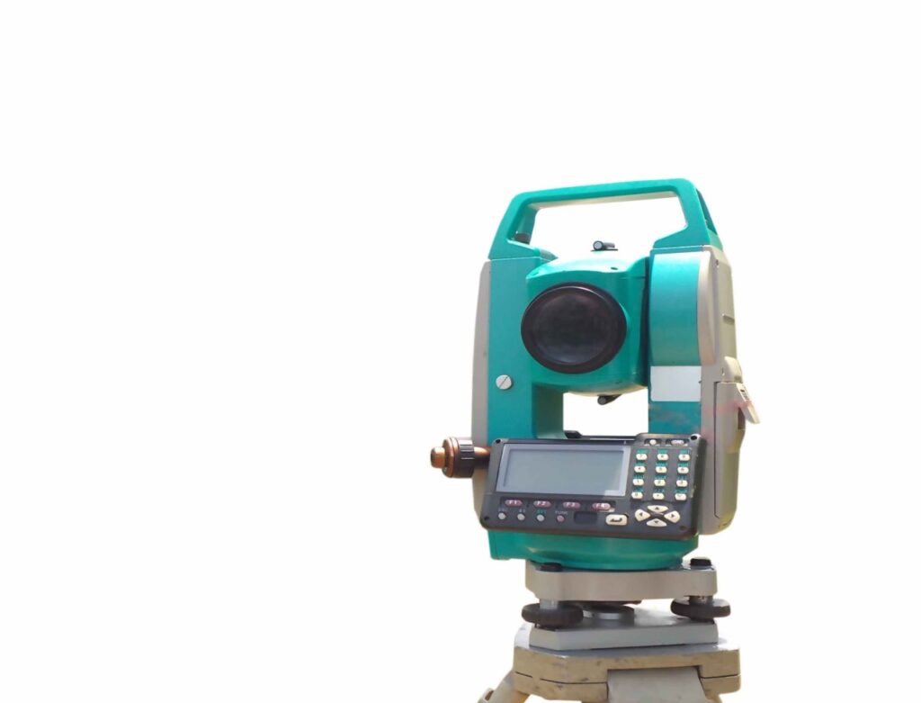
A Total Station survey utilizes an advanced electronic/optical instrument that combines a digital theodolite (for measuring angles) with an electronic distance meter (EDM). This integrated device precisely measures horizontal and vertical angles, and distances, automatically calculating and storing the 3D coordinates (X, Y, Z) of surveyed points.
What are the main benefits of using a Total Station for surveying?
The primary benefits include significantly enhanced accuracy, faster data collection compared to traditional methods, reduced human error through automation, and seamless integration with digital design and mapping software (like CAD). This streamlines projects and provides reliable data for informed decision-making.
What type of Total Station instruments do you use, and how do you ensure their accuracy?
At Northern Engineering Survey (NES Dubai), we pride ourselves on utilizing industry-leading Total Station instruments from globally renowned manufacturers such as Leica Geosystems and Trimble. These advanced devices represent the latest generation of surveying technology, selected for their exceptional precision, reliability, and robust performance in the demanding conditions of the UAE
Can Total Station Surveys be used for intricate indoor measurements or precise building layouts?
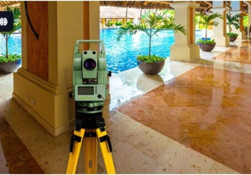
Absolutely. Total Stations are exceptionally versatile tools for indoor applications. They are widely used for highly accurate interior measurements, precise building layouts, ensuring verticality of columns (plumb checks), detailed facade surveys, and verifying interior fit-out accuracy, where high precision and comprehensive 3D coordinates are critical.
What happens to the collected data after the field survey is complete?
Once the field data is collected, it is securely transferred from the Total Station to our office. Our expert technicians then process, analyze, and rigorously verify this raw data using specialized post-processing software. This comprehensive process involves data cleaning, adjustments, and transformation into the final requested deliverables, such as detailed CAD drawings, 3D models, or comprehensive survey reports.

NES Dubai handled all our demarcation and as-built survey requirements perfectly. Their team was knowledgeable and ensured everything was approved by Dubai Municipality without delays.
“Excellent Service for Construction Permits” — Fatima Al Suwaidi, Architect.