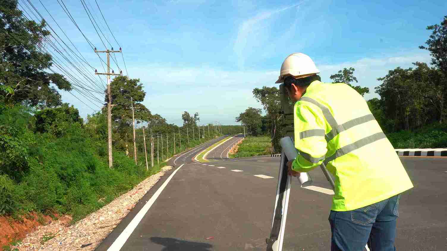
GIS Mapping Services Dubai | Robotic Total Station & Survey
Northern Engineering Survey offers GIS mapping in Dubai using robotic total stations and digital levels for precise spatial data solutions.
Reliable Data, Flawless Infrastructure Design
Developers and engineers in Dubai often struggle with inaccurate site data, outdated maps, and poor coordination between design and field conditions—leading to costly delays. Northern Engineering Survey resolves these challenges with advanced GIS mapping services powered by precise Total Station and digital level technologies. We capture highly accurate spatial and elevation data to deliver detailed, multi-layered maps that support land development, utility planning, and infrastructure design. Our GIS solutions help streamline decision-making, reduce errors, and ensure every project moves forward with confidence and clarity.

Other Services

land survey

BIM Modeling

As-Built Survey
Company Profile
Our Business Statistics
Why Choose Us
High-Tech Total
Stations
Utilizing high-precision total stations, we achieve sub-millimeter accuracy with automated measurements and error-free data transfer for reliable, fast setups.
Seamless Data Integration
Our surveying and CAD services integrate flawlessly, ensuring maximum data integrity, eliminating loss, and delivering reliable, accurate results for smooth project execution.
Proven Experience & Expertise
Expertise Northern Engineering Survey boasts a comprehensive portfolio of successful projects, reflecting high client satisfaction and a trusted industry reputation for quality.
Tailored Project Solutions
We offer bespoke solutions supporting precise site planning for construction, land/Environmental assessments, and optimized municipal/urban planning.
Hear From Our Clients
NES Dubai showcases a diverse range of completed projects, indicating their expertise and rel“Professional, Prompt, and Precise!”
We’ve worked with NESDubai on multiple residential projects across the UAE. Their consistent quality and use of modern equipment set them apart from other survey firms.
“Trusted Survey Partner for Our Developments” — Omar Khalid, Director.Their BIM modeling and control point services helped us streamline our structural planning process. Communication was clear throughout the project. Will definitely work with them again.
“Highly Accurate and Detailed Surveys” — Lina Haddad, Structural Engineer.From GPS surveys to setting out for our commercial site, NESDubai’s team was on point. Their quick turnaround and technical expertise saved us both time and cost.
.“Reliable, Responsive, and Results-Driven” — James Brooks, Site Manager.GIS Mapping FAQ
What is GIS mapping?
GIS (Geographic Information System) mapping is a powerful technology that integrates, stores, analyzes, and visualizes all types of geographic data. It allows us to create detailed, interactive maps that combine various layers of information – such as topography, utility lines, property boundaries, and infrastructure – to provide a comprehensive understanding of a specific area.
Why is accurate site data so important for developers and engineers in Dubai?
In Dubai’s fast-paced development environment, inaccurate site data leads to significant problems. It can cause costly construction errors, project delays, disputes over land boundaries, and inefficient planning. Precise data ensures designs align perfectly with field conditions, reducing rework and saving valuable time and resources.
What types of projects can benefit from GIS mapping services?
GIS solutions are invaluable for a wide range of projects, including:
- Land Development: Site selection, master planning, and land use analysis.
- Utility Planning & Management: Mapping existing and proposed utility networks (water, electricity, sewage, telecom).
- Infrastructure Design & Management: Roads, bridges, pipelines, and urban facilities.
- Environmental Impact Assessments: Analyzing geographic factors for environmental planning.
- Urban Planning & Smart City Initiatives: Data-driven decision-making for urban growth.
What kind of data can be incorporated into GIS maps?
Multi-layered GIS maps can integrate a vast array of data, including:
- Topographic contours and elevations
- Existing and proposed utility networks (underground and above-ground)
- Property boundaries and land parcels
- Building footprints and infrastructure
- Road networks and transportation corridors
- Hydrology and drainage patterns
- Environmental features
- Orthophotography and satellite imagery
How does GIS mapping streamline decision-making?
By consolidating diverse geographic data into a single, interactive platform, GIS allows stakeholders to visualize complex information, identify patterns, analyze relationships, and simulate different scenarios. This comprehensive view leads to more informed, efficient, and confident decision-making throughout the project lifecycle.
NES Dubai handled all our demarcation and as-built survey requirements perfectly. Their team was knowledgeable and ensured everything was approved by Dubai Municipality without delays.
“Excellent Service for Construction Permits” — Fatima Al Suwaidi, Architect.