Accurate elevation data is the backbone of any engineering, construction, or land management project. With the global geospatial analytics market valued at over $89 billion in 2024, and the use of geospatial technology in construction projected to reach over $24 billion by 2030, choosing the right type of elevation model can make the difference between a smooth project and costly errors.
Among the most commonly used models are DTM (Digital Terrain Model), DEM (Digital Elevation Model), and DSM (Digital Surface Model). While they may seem similar at first glance, each serves a specific purpose and understanding their differences is crucial.
What is a DEM (Digital Elevation Model)?
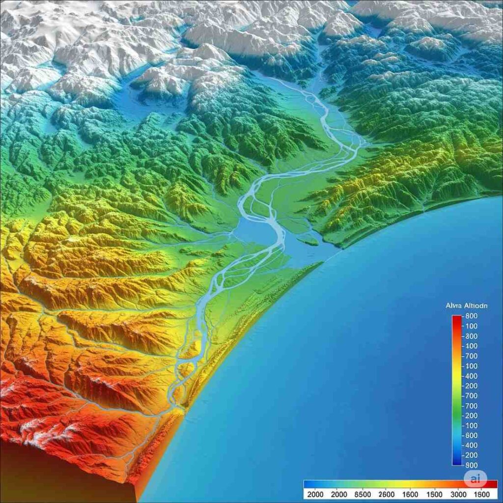
A DEM is a generic representation of the terrain’s surface, showing the elevation of the land without accounting for objects like trees or buildings. DEMs are widely used in geographic information systems (GIS), hydrology, and environmental analysis.
Key Uses:
- Flood risk assessment
- Watershed and drainage mapping
- Soil and land-use analysis
Example: DEM gives you the “bare-earth” shape of a region, showing hills and valleys, but without trees or buildings.
What is a DTM (Digital Terrain Model)?
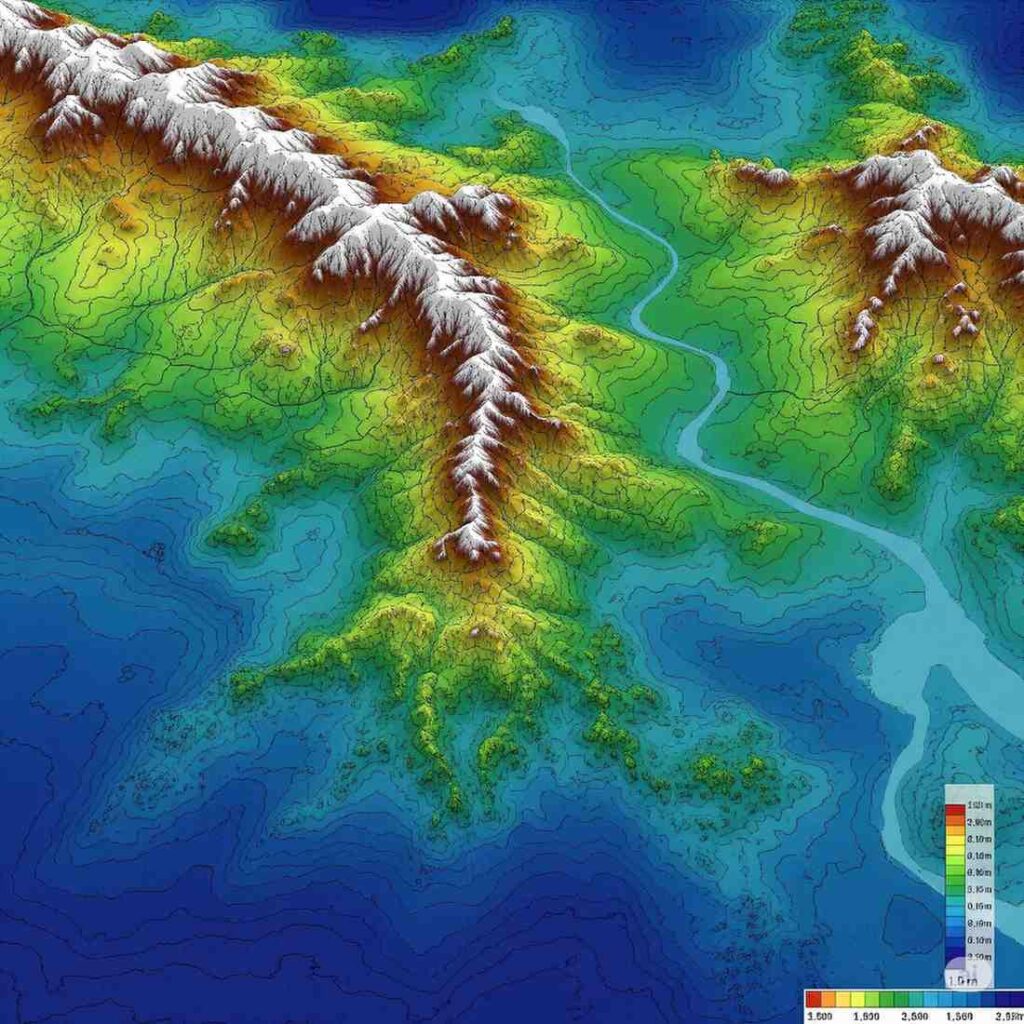
A DTM is similar to a DEM but is more refined. It represents the ground surface without any objects, including buildings or vegetation, and often includes additional features like breaklines, ridges, and depressions. DTM is especially precise for engineering and construction planning.
Key Uses:
- Road, railway, and infrastructure design
- Earthworks calculation
- Construction site planning
Example: If you need to design a highway or drainage system, a DTM provides the detailed terrain elevations you need.
What is a DSM (Digital Surface Model)?
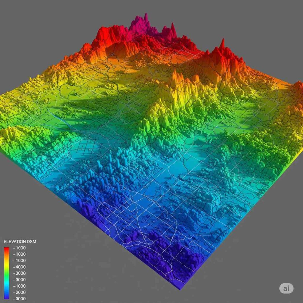
A DSM represents the top surface of everything in the area—ground, buildings, trees, and other structures. It’s ideal for urban planning, telecommunications, and forestry analysis.
Key Uses:
- Line-of-sight analysis for antennas or towers
- Solar panel placement on rooftops
- Urban landscape and forestry studies
Example: A DSM shows the full surface, including trees and buildings, giving you a “real-world” view from above.
How to Choose the Right Model for Your Project
Choosing between DTM, DEM, and DSM depends on your project goals:
| Project Type | Recommended Model |
|---|---|
| Urban planning & building analysis | DSM |
| Road or infrastructure design | DTM |
| Environmental studies & large-scale topography | DEM |
| Flood modeling & hydrological analysis | DEM/DTM |
Pro Tip: If your project requires precise engineering calculations for construction, a DTM is usually the safest choice. For visualization and planning in urban areas, DSM provides a realistic picture. DEM is ideal for broad-scale terrain analysis.
Conclusion
Understanding the differences between DTM, DEM, and DSM ensures your project uses the right elevation data, saving time, money, and potential errors. By aligning your model choice with project requirements, you can achieve more accurate designs, better planning, and smoother execution, just like we do at Northern Engineering Surveys to make sure our clients get the best results.