2026’s Top Tool: Why Every Surveyor in Dubai Needs Aerial Drone Mapping
By 2026, land surveyLand surveying in Dubai is evolving faster than ever, and one technology has become essential for delivering top-tier results: aerial drone mapping. The global drone surveying market is projected to surpass USD 2.35 billion in 2026, continuing a robust growth trajectory with a strong CAGR of around 19% from 2026 to 2035. This shift highlights drones as a critical driver of high-precision geospatial intelligence, making adoption in Dubai not just advantageous—but necessary for surveyors to stay competitive in a demanding market.
Why Drones Are the Future of Dubai Surveying
The reasons driving widespread drone adoption in surveying are compelling:
Unmatched Speed and Coverage: Drones can survey expansive areas far faster than traditional ground-based teams. This efficiency accelerates project timelines and reduces delays, a crucial benefit in Dubai’s fast-paced development environment.
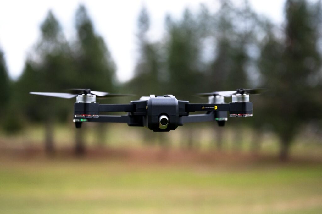
Superior Data Accuracy and Detail: Equipped with high-resolution cameras, LiDAR, thermal, and multispectral sensors, drones capture rich, detailed aerial data. When processed with advanced photogrammetry software, this data produces highly accurate orthomosaics, 3D models, and point clouds, often achieving centimeter-level precision.
Significant Cost Savings: While initial investments exist, drones reduce labor costs, minimize the need to access difficult terrains, and allow more data to be captured in fewer flights, delivering a more economical surveying process.
Enhanced Safety: Surveying hazardous or remote areas poses risks to personnel. Drones allow data collection without exposing surveyors to dangerous conditions, ensuring a safer work environment.
Versatile Data Acquisition: Modern drones can collect a wide variety of data types, enabling applications from environmental monitoring to creating precise digital elevation models (DEMs).
Dubai’s Unique Needs, Drone-Powered Solutions
Dubai’s ambitious development projects and distinctive geography make drones ideal for multiple surveying applications:
- Real Estate and Construction: High-frequency aerial surveys for progress monitoring, topographic mapping, and as-built documentation.
- Infrastructure Projects: Planning and inspection of roads, bridges, pipelines, and other critical structures.
- Urban Planning: Detailed 3D city modeling for traffic management, disaster preparedness, and smart city initiatives.
Don’t Get Left Behind: Embrace the Aerial Advantage
In 2026, aerial drone mapping continues to accelerate within Dubai’s surveying sector. Surveyors who adopt this technology can offer faster, more accurate, and cost-effective services, gaining a significant competitive edge.
For cutting-edge drone mapping and expert surveying solutions in Dubai, firms like Northern Engineering Survey Company remain at the forefront, equipped with the latest technology and expertise to meet the evolving demands of the industry in 2026 and beyond.