
Industrial 3D Scanning Services for Plants & Facilities
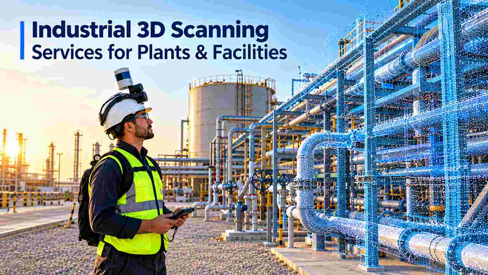
Industrial facilities are difficult to measure with a small set of conventional measurements. Pipe racks, tanks, pumps, structural steel, platforms, cable trays, ducts and equipment can occupy the same working area, while older drawings may no longer match the site.
Industrial 3D scanning services provide a broader way to capture existing conditions. A laser scanner records visible geometry as dense three-dimensional data, which can be processed into a point cloud for engineering, inspection, documentation, CAD, BIM and modification projects.
For industrial projects in Dubai and across the UAE, the useful outcome is not simply a large amount of scan data. It is reliable spatial information that engineers, designers and contractors can work with.
What Are Industrial 3D Scanning Services?
Industrial 3D scanning services involve capturing the existing geometry of plants, factories, equipment areas and other industrial facilities using suitable 3D scanning technology.
Depending on the project, scanning may cover:
- Process equipment and machinery
- Pipe racks and piping
- Storage tanks
- Structural steel
- Platforms and walkways
- Electrical and MEP areas
- Manufacturing lines
- Utility corridors
- Existing industrial buildings
Multiple scan positions are registered into a coordinated dataset, creating a registered point cloud that represents the surveyed environment.
The scanning method should be selected according to the required accuracy, site access, coverage, obstructions, control and final deliverables rather than simply the scanner specification.
Where Is Industrial 3D Scanning Used?
Existing Facility Documentation
Industrial facilities can change significantly after years of operation. Equipment may be replaced, pipes rerouted and additional supports or utilities installed.
An industrial scan provides a current spatial reference that can be used when existing drawings are incomplete or outdated.
Plant Modification and Retrofit
Industrial plant 3D scanning is particularly useful when new work must fit around existing infrastructure.
Survey data can support:
- Equipment replacement
- Pipe rerouting
- Structural modifications
- Utility upgrades
- Plant extensions
- Retrofit design
- Clearance checks
For brownfield projects, the measured site information helps engineering teams understand the existing arrangement before fabrication or installation begins.
Industrial Inspection and Dimensional Verification
3D scanning for industrial inspection can provide geometric information for checking equipment position, clearances, structural alignment, installed components and fabricated dimensions.
Scanning does not replace specialist inspection methods such as NDT. Its role is to provide spatial and dimensional information that can support engineering and inspection workflows.
3D Scanning for Piping and MEP
Industrial piping and MEP areas can contain several systems within a confined space. Process pipes, cable trays, ducts, structural members and equipment connections may all intersect within the same area.
3D scanning for piping and MEP can capture the visible relationship between these components and support:
- Pipe routing studies
- MEP coordination
- Equipment connection planning
- Clearance checks
- Retrofit design
- Fabrication reference
- Clash analysis
A scanner cannot capture surfaces that are completely hidden from its line of sight. Good scan planning and additional scan positions are therefore important when equipment or structures create occlusions.
Industrial Point Cloud Scanning and CAD
The point cloud is often the foundation for downstream engineering work.
Industrial point cloud scanning can provide a measured reference for:
- Plant layouts
- Equipment layouts
- Sections and elevations
- Pipe layouts
- Structural drawings
- Existing-condition drawings
- Selected dimensions
With industrial scan to CAD, relevant geometry can be extracted from the registered point cloud and converted into usable engineering drawings.
This gives designers a current measured reference instead of relying entirely on legacy drawings.
Scan to BIM for Industrial Plants
For projects requiring a structured 3D model, the point cloud can become the reference for a scan-to-BIM workflow:
3D scan → registered point cloud → data extraction → BIM modelling → model verification
The resulting model can represent architectural, structural and MEP elements according to the project requirements and required Level of Detail.
This workflow is increasingly relevant to information management. In 2026, ISO is progressing new editions of ISO 19650 information-management standards, including work covering information management across the asset lifecycle. These documents remain under development and should not be treated as replacements for published standards until formally issued.
For industrial projects, the practical objective is to keep survey data, models and project information coordinated so that the captured information can be reused.
Industrial 3D Scanning for Equipment and Reverse Engineering
Industrial equipment 3D scanning can capture the accessible external geometry of existing components and machinery.
The resulting data can support:
- Equipment documentation
- Replacement planning
- Fabrication reference
- Dimensional verification
- Reverse-engineering workflows
- Legacy equipment documentation
However, a scan does not automatically provide all information needed to manufacture a replacement component. Material properties, tolerances, internal geometry and functional requirements may require additional engineering investigation.
What Makes an Industrial Scan Reliable?
A large point cloud does not automatically mean a reliable survey. The quality of the final dataset depends on the complete workflow.
Important factors include:
Scan planning: Positions should provide suitable coverage while considering access and obstructions.
Survey control: Where required, the scanning dataset should be tied to established survey control.
Registration: Individual scan stations must be correctly aligned into a common coordinate system.
Occlusion management: Additional positions may be required where equipment, piping or structures block surfaces.
Resolution: Scan density should match the smallest feature that needs to be measured or modelled.
Quality control: The registered dataset should be checked before being used for engineering deliverables.
This is why industrial 3D measurement is more than simply collecting a visually detailed scan.
Industrial 3D Scanning vs Traditional Surveying
The two approaches should not be treated as competing technologies in every project.
| Requirement | Conventional survey | 3D scanning |
| Selected control points | Highly suitable | Suitable when properly controlled |
| Simple level transfer | Highly suitable | Often unnecessary |
| Large quantity of surface data | Limited | Strong |
| Complex industrial geometry | Can require many measurements | Strong |
| Full spatial record | Limited by selected observations | Strong |
| CAD extraction | Suitable | Suitable |
| Point-cloud deliverable | Not normally the primary output | Primary output |
| BIM reference | Possible through other survey data | Strong |
| Hidden geometry | Requires other methods | Cannot capture completely occluded areas |
Industrial 3D Scanning Services: Deliverables
Depending on the project scope, accuracy requirements and intended use, deliverables may include:
- Registered 3D point clouds
- 2D CAD drawings
- Existing-condition drawings
- Plant and equipment layouts
- Pipe and MEP layouts
- Sections and elevations
- 3D models
- Scan-to-BIM models
- Dimensional reports
- Survey control information
The required deliverables should be agreed before scanning so that fieldwork and processing are planned around the final engineering requirement.
Industrial 3D Scanning Services in Dubai and the UAE
Northern Engineering Surveys L.L.C. provides surveying and 3D scanning support for construction and engineering projects in Dubai and across the UAE.
For industrial projects, the scanning scope can be planned around the facility layout, required accuracy, site access, survey control and final engineering deliverables.
FAQ: Industrial 3D Scanning Services
What are industrial 3D scanning services used for?
They are used to capture spatial information from industrial plants, factories, equipment areas and facilities for engineering, documentation, inspection, retrofit, CAD, BIM and modification projects.
Can 3D laser scanning capture an entire industrial plant?
Large areas can be captured when the scan network is properly planned. Coverage depends on facility size, access, line of sight, obstructions and required detail.
Can industrial scanning be used for piping?
Yes. Exposed piping can be captured in the point cloud, allowing engineers to examine routes, positions, clearances and relationships with surrounding components.
Can a point cloud be converted into CAD?
Yes. Relevant geometry can be extracted from a registered point cloud to create CAD drawings, layouts, sections and other project-specific documentation.
Is industrial 3D scanning the same as BIM?
No. 3D scanning produces measured spatial data. BIM is a modelling and information-management workflow. A point cloud can provide the measured reference for developing a BIM model.
Can industrial scanning support retrofit projects?
Yes. Current scan data can support equipment replacement, pipe modifications, structural changes, facility upgrades and other retrofit work.
Does 3D scanning replace a land survey?
Not necessarily. Industrial scanning and conventional surveying address different measurement requirements. A project may use scanning together with total station, GNSS or other survey methods.