The way we inspect everything from towering wind turbines to sprawling solar farms is changing, and if your business hasn’t caught on, you could be leaving money on the table. Traditional inspections, often involving dangerous heights, extensive scaffolding, and lengthy downtime, are quickly becoming a thing of the past. The future? It’s flying high with aerial inspections, a market projected to grow from an estimated USD 2.809 billion in 2025 to over USD 14.211 billion by 2035, at a compound annual growth rate (CAGR) of 17.6%. Companies using drones are already seeing cost savings of 30-50% compared to traditional methods.
What Exactly Are Aerial Inspections?
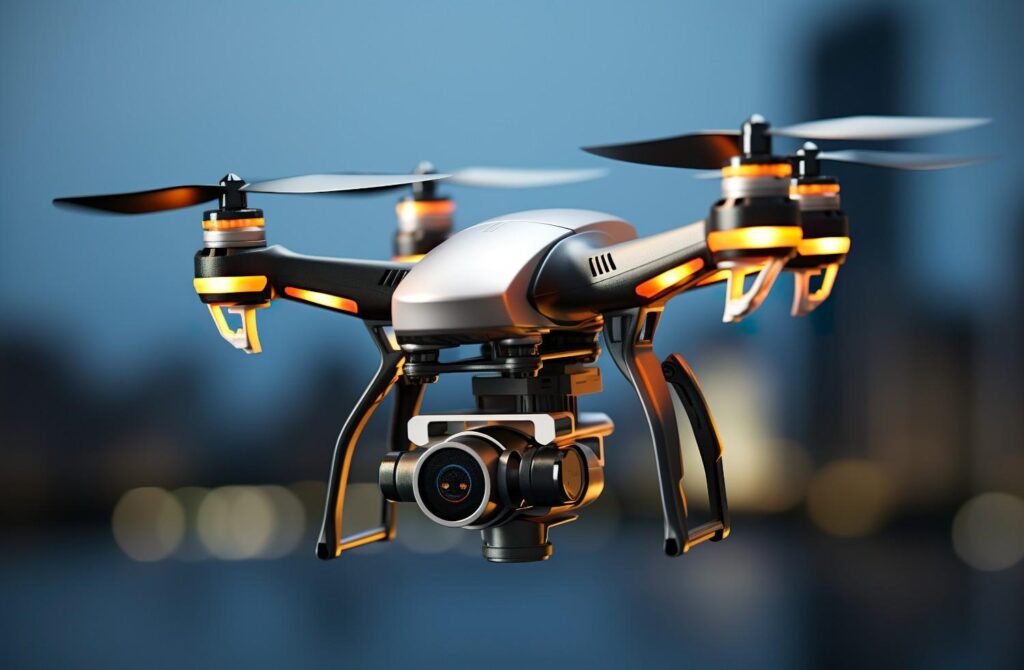
Simply put, aerial inspections leverage advanced drones, or Unmanned Aerial Vehicles (UAVs), equipped with high-resolution cameras, thermal sensors, and other specialized tech. These drones can effortlessly access hard-to-reach areas, collecting detailed visual and data-rich information that human inspectors often can’t, or shouldn’t, attempt to get. Think about it: instead of sending a team up a precarious structure, a drone can do the job in minutes, safely and precisely.
The Hidden Costs of Sticking to the “Old Way”
If you’re still relying on traditional inspection methods, you’re likely facing several significant—and often overlooked—financial drains:
- Sky-High Safety Risks & Insurance Premiums: Every time a human inspector is put in a dangerous situation, the risk of accidents, injuries, and subsequent insurance claims skyrockets. Aerial inspections dramatically reduce these risks, creating a safer work environment and potentially lowering your premiums.
- Time is Money, and You’re Wasting It: Manual inspections are notoriously slow. Erecting scaffolding, getting personnel to remote locations, and the sheer time it takes to meticulously check every inch adds up. Drones can cover vast areas and complex structures in a fraction of the time, meaning less operational downtime for your assets and faster issue detection.
- Missing Critical Issues (Until It’s Too Late): The human eye can only do so much. Drones equipped with thermal imaging can detect subtle heat signatures indicating electrical faults or water ingress that are invisible to the naked eye. High-resolution cameras can zoom in on hairline cracks that might be missed from a distance. Missing these early warning signs can lead to far more expensive repairs down the line.
- Labor Intensive & Inefficient Resource Allocation: Sending out large teams for inspections can be a major drain on your labor budget. Aerial inspections often require fewer personnel, freeing up your skilled workforce for more critical tasks.
- Poor Documentation & Compliance Headaches: Manual inspection reports can be inconsistent and lack the precision needed for robust record-keeping. Drones provide geolocated, time-stamped, high-definition data, creating an irrefutable digital record for compliance, historical analysis, and future planning.
The Unbeatable ROI of Aerial Inspections
Investing in aerial inspection technology isn’t just about being modern; it’s about smart business. The return on investment (ROI) is clear:
- Significant Cost Savings: Lower labor costs, reduced equipment rental (like scaffolding), and preventing major repairs by catching issues early.
- Enhanced Safety: Protecting your most valuable asset – your people – by removing them from hazardous environments.
- Increased Efficiency & Speed: Faster inspections mean less operational disruption and quicker decision-making.
- Superior Data Quality: Detailed, accurate, and consistent data for better asset management and maintenance planning.
- Improved Compliance & Record Keeping: Comprehensive digital trails for all your inspection needs.
Aerial inspections, predominantly carried out using drones (UAVs), have revolutionized how various industries conduct monitoring, maintenance, and data collection. Their applications are incredibly diverse due to their ability to access difficult or dangerous areas safely, quickly, and cost-effectively, while gathering high-resolution data.
Applications of Aerial Inspections
Here are some of the key applications of aerial inspections across different sectors:
1. Infrastructure and Utilities
- Power Lines & Substations: Inspecting for signs of wear, damage, vegetation encroachment, and detecting “hot spots” (overheating components) using thermal cameras to prevent outages.
- Wind Turbines: Identifying cracks, erosion, and lightning strike damage on blades, as well as structural integrity issues of the tower, often without needing to shut down the turbine.
- Solar Farms: Rapidly scanning large solar arrays with thermal and visual cameras to pinpoint defective panels, dirt accumulation, or wiring issues that reduce efficiency.
- Bridges & Dams: Assessing structural integrity, detecting cracks, corrosion, spalling, and monitoring movement, particularly in hard-to-reach areas.
- Telecommunication Towers: Inspecting antennas, cables, and structural components for damage, rust, or alignment issues, significantly reducing the risks of manual climbs.
- Railways & Roads: Monitoring track conditions, pavement damage (cracks, potholes), identifying obstructions, and assessing terrain stability along routes.
- Pipelines (Oil, Gas, Water): Surveying long stretches for leaks, corrosion, environmental impact, and security breaches, especially in remote or hazardous areas.
2. Construction and Real Estate
- Construction Progress Monitoring: Providing regular, detailed aerial views of construction sites to track progress against schedules, manage materials, ensure safety compliance, and create visual documentation.
- Site Surveying & Mapping: Generating highly accurate 2D orthomosaic maps, 3D models (point clouds, digital twins), and topographic data for planning, volumetric calculations (e.g., aggregate stockpiles), and site analysis.
- Building Inspections: Examining roofs, facades, and other exterior components of commercial and residential buildings for damage, leaks, insulation issues, and structural integrity, crucial for maintenance, insurance, and property assessment.
3. Oil & Gas and Industrial Plants
- Refineries & Chemical Plants: Inspecting flare stacks, storage tanks, pressure vessels, and complex piping systems for corrosion, leaks, and structural faults, often while operations continue, minimizing downtime and risk.
- Offshore Platforms: Conducting visual and thermal inspections of hard-to-access areas on drilling rigs and production platforms.
- Confined Spaces: Specialized internal inspection drones can enter tanks, boilers, silos, and ventilation shafts to assess conditions without human entry, significantly improving safety.
4. Agriculture
- Crop Health Monitoring: Using multispectral sensors to analyze plant vigor, detect early signs of disease, pest infestations, or nutrient deficiencies, enabling targeted treatment and precision farming.
- Irrigation System Assessment: Identifying areas of over or under-watering.
- Livestock Monitoring: Observing large herds and managing farm infrastructure.
5. Public Safety and Emergency Services
- Search & Rescue: Rapidly surveying large or difficult terrain to locate missing persons, especially with thermal cameras at night.
- Disaster Assessment: Providing immediate aerial intelligence after natural disasters (e.g., floods, earthquakes, wildfires) to assess damage, identify safe routes, and guide emergency response.
- Firefighting: Offering real-time aerial views of active fires to help assess spread, locate hot spots, and plan containment strategies.
6. Environmental Monitoring
- Vegetation Management: Monitoring forest health, tracking deforestation, and assessing wildfire risk.
- Water Quality Monitoring: Inspecting water bodies for pollution or changes in environmental conditions.
- Wildlife Monitoring: Tracking animal populations and movements for conservation efforts.
7. Mining
- Stockpile Volumetrics: Accurately measuring the volume of material stockpiles (e.g., coal, aggregates) for inventory management.
- Pit Wall Monitoring: Assessing the stability of mine walls to identify potential hazards.
- General Site Mapping: Providing comprehensive maps and models for operational planning and safety.
Don’t let outdated methods eat into your profits and put your team at risk. The world of inspections has evolved. Embrace the power of aerial inspections and discover a smarter, safer, and more cost-effective way to manage your assets. Ready to explore how aerial inspections can transform your business? Contact Northern Engineering Survey today!