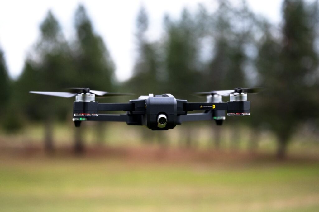
UAV/Drone Survey Company Dubai,UAE
Get high-resolution mapping, precise inspections, and efficient site monitoring for construction, agriculture, & more.
Aerial Precision: Smarter Site Mapping
Surveying large or complex sites using traditional mapping methods can be slow and ineffective. Our drone services provide rapid, detailed, and safe data capture from the air, overcoming traditional site access limitations. For comprehensive structural assessments, our expertise also extends to Building Surveys, providing precise data for renovations, planning, or quality control. With licensed drone operators and high-resolution imaging, Northern Engineering Survey provides precise aerial data, cutting survey time by 70–90%. This significantly speeds up decision-making and supports a wide range of project needs, ultimately enhancing overall efficiency.”


Concrete Scanning

Topography Survey

CAD Services
Company Profile
Our Business Statistics
Why Choose Us
High-Tech Total
Stations
Utilizing high-precision total stations, we achieve sub-millimeter accuracy with automated measurements and error-free data transfer for reliable, fast setups.
Seamless Data Integration
Our surveying and CAD services integrate flawlessly, ensuring maximum data integrity, eliminating loss, and delivering reliable, accurate results for smooth project execution.
Proven Experience & Expertise
Expertise Northern Engineering Survey boasts a comprehensive portfolio of successful projects, reflecting high client satisfaction and a trusted industry reputation for quality.
Tailored Project Solutions
We offer bespoke solutions supporting precise site planning for construction, land/Environmental assessments, and optimized municipal/urban planning.
Hear From Our Clients
NES Dubai showcases a diverse range of completed projects, indicating their expertise and rel“Professional, Prompt, and Precise!”
We’ve worked with NESDubai on multiple residential projects across the UAE. Their consistent quality and use of modern equipment set them apart from other survey firms.
“Trusted Survey Partner for Our Developments” — Omar Khalid, Director.Their BIM modeling and control point services helped us streamline our structural planning process. Communication was clear throughout the project. Will definitely work with them again.
“Highly Accurate and Detailed Surveys” — Lina Haddad, Structural Engineer.From GPS surveys to setting out for our commercial site, NESDubai’s team was on point. Their quick turnaround and technical expertise saved us both time and cost.
.“Reliable, Responsive, and Results-Driven” — James Brooks, Site Manager.Drone Mapping FAQ
What is a Drone Mapping Survey?
A Drone Mapping Survey uses Unmanned Aerial Vehicles (UAVs) equipped with high-resolution cameras and sensors to capture aerial imagery and data. This data is then processed to create highly accurate maps, 3D models, and other geospatial products.
What are the key benefits of using drones for mapping?
Drones offer rapid data capture over large or complex areas, significantly improving efficiency. They provide highly accurate and detailed information, enhance safety by reducing human exposure to hazardous sites, and can access challenging terrains easily.
What kind of data can a Drone Mapping Survey provide?
These surveys can produce a variety of outputs including orthomosaic maps (geometrically corrected aerial images), 3D point clouds, digital surface models (DSMs), digital terrain models (DTMs), contour maps, and volumetric calculations.
For what applications are Drone Mapping Surveys useful?
They are widely used across various industries for applications such as construction progress monitoring, topographical mapping, volumetric analysis, infrastructure inspection, urban planning, environmental monitoring, and precision agriculture.
How accurate are drone mapping surveys?
When conducted by licensed operators using professional-grade drones and advanced photogrammetry software, drone mapping surveys can achieve centimeter-level accuracy, making them suitable for most engineering and construction requirements.

NES Dubai handled all our demarcation and as-built survey requirements perfectly. Their team was knowledgeable and ensured everything was approved by Dubai Municipality without delays.
“Excellent Service for Construction Permits” — Fatima Al Suwaidi, Architect.