
CAD Services
Manual drafting processes are slow, error-prone, and hard to update. Our CAD Services leverage advanced software

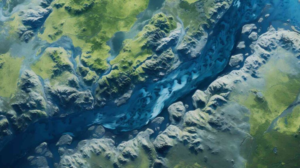
Drone-Mapping
Surveying large or complex sites using traditional mapping methods can be slow and ineffective

Topographic Survey
Inaccurate terrain data often leads to design flaws and costly rework. Our topographical surveys
NES Dubai handled all our demarcation and as-built survey requirements perfectly. Their team was knowledgeable and ensured everything was approved by Dubai Municipality without delays.
“Excellent Service for Construction Permits” — Fatima Al Suwaidi, Architect.