Mobile mappingin Dubai
Our mobile mapping solutions deliver high-speed, accurate data for infrastructure, utilities & smart cities. Efficiently map large areas with precision.
Overview
Mobile mapping
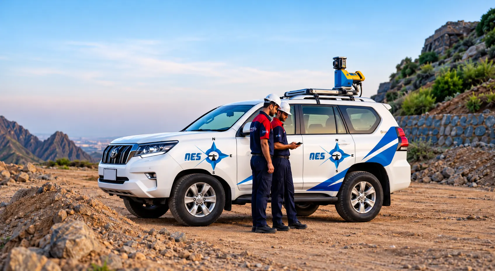
Manual surveys are inherently time-consuming and often hazardous. Northern Engineering Survey revolutionizes this process with our cutting-edge Mobile Mapping system. This advanced solution rapidly captures high-density data on the go, utilizing integrated GPS/GNSS,radar, and cameras to ensure unparalleled accuracy with minimal site disruption. Our approach significantly enhances overall project efficiency, enabling faster execution, improved safety, and the comprehensive data needed for truly informed decisions and accurate project delivery. This precise information is crucial for accurately mapping the topography of sites and producing reliable as-built surveys.
- Roads & corridors
- Asset records
- Highway design
- Large networks

What we capture
What mobile mapping captures
Streets and corridors
Long routes scanned while moving.
Building interiors
Walk-through scans of large floors.
Roadside assets
Signs, poles, barriers and markings.
Point cloud
Dense 3D data in the project grid.
Panoramic images
Photos linked to every scan position.
Deliverables
What you receive
- Point cloud of the corridorCaptured from a moving vehicle.
- Road survey drawingsEdges, levels and features in CAD.
- Signed PDF planWith coordinate system and datum.
Process
How a NES survey runs
From your first message to signed drawings, in five steps.
- 01
Brief & quote
Send the site and purpose. We confirm scope, time and price.
- 02
Control set-up
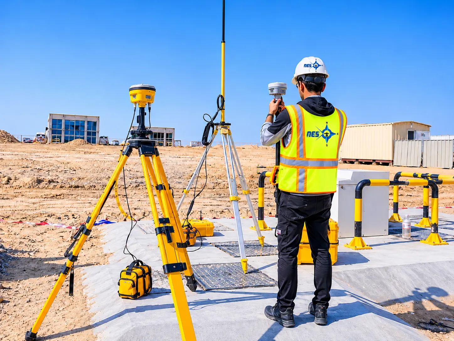
Control points fixed with RTK GPS, so everything ties together.
- 03
Field survey
Our crew measures with the instruments that fit the site.
- 04
Processing & CAD
Engineers process the data; drafting builds the drawing.
- 05
Check & deliver
Independent check against control, then your files.
Why choose NES for mobile mapping
High-precision instruments
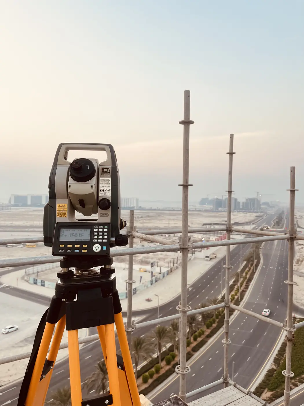
Our own total stations, GPS and scanners for fast, accurate measurements.
Survey & CAD under one roof
Integrated surveying and drafting keeps data consistent.
Proven track record
250 major projects for authorities, developers and contractors.
Built around your project
Scope tailored to site planning, authority and municipal needs.
FAQ
Mobile mapping FAQ
What Is Mobile Mapping?
Mobile mapping is the process of collecting geospatial data using a moving vehicle equipped with sensors such as LiDAR, cameras, and GPS systems. It is used to create detailed maps and 3D models of large areas efficiently.
What Are the Applications of Mobile Mapping?
Mobile mapping is used for infrastructure planning, road network analysis, urban planning, asset management, environmental monitoring, and navigation system development.
What deliverables can I expect from Mobile Mapping services?
You can expect precise 3D point cloud data, detailed 2D maps (like road profiles and utility layouts), and high-resolution panoramic imagery. We also provide accurate asset inventories and data ready for integration into GIS and CAD systems.
Is Mobile Mapping suitable for precise measurements over long distances?
Yes, it excels at capturing highly accurate and consistent data over extended linear distances, such as roads, railways, and utility corridors. Its efficiency in covering vast areas quickly makes it ideal for large-scale infrastructure projects requiring continuous, precise measurements.
Can Mobile Mapping data be integrated with other software/systems?
Yes, absolutely. The data captured by mobile mapping systems, particularly point clouds and imagery, is highly compatible with industry-standard software. It can be seamlessly integrated into GIS (Geographic Information Systems), CAD (Computer-Aided Design), and BIM (Building Information Modeling) platforms.
Related services
Often booked together
Get a quote
Request mobile mapping
Share the site location, size and what the survey is for. A surveyor will reply with scope, timing and price.