Did you know that laser scanning technology can achieve up to 99% accuracy in capturing real-world environments and reduce project timelines by nearly 50%? According to MarketsandMarkets, the global 3D laser scanning market is projected to double, growing from $3.1 billion in 2022 to $6.2 billion by 2027, driven by construction, engineering, and land surveying sectors worldwide.1 This explosive growth is a clear sign that laser scanning is revolutionizing how we capture, analyze, and use spatial data.
What is Laser Scanning?
Laser scanning is an advanced surveying technique that uses laser beams to capture millions of precise measurements of physical spaces and objects. By emitting rapid laser pulses and recording the time they take to bounce back, this technology generates extremely detailed 3D models—often called point clouds—that accurately represent the size, shape, and features of a site or structure.
Unlike traditional manual surveying, laser scanning is faster, more accurate, and safer, especially for complex or large-scale projects. It eliminates guesswork and human error, offering a digital blueprint that architects, engineers, and developers can trust.
Types of Laser Scanning
There are several types of laser scanning technologies, each suited to different applications:
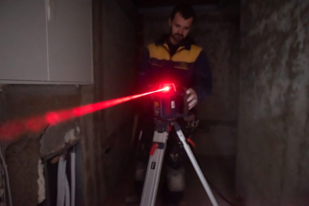
1. Terrestrial Laser Scanning (TLS)
This method uses stationary scanners placed on the ground to capture detailed scans of buildings, landscapes, or construction sites. It is highly effective for architectural and engineering projects requiring high precision.
2. Mobile Laser Scanning (MLS)
Mounted on vehicles, drones, or backpacks, MLS systems capture data while moving through an environment. This allows for rapid scanning of roads, railways, or large infrastructure, combining speed with accuracy.
3. Airborne Laser Scanning (ALS)
Also known as LiDAR, ALS involves mounting scanners on aircraft or drones to capture topographical data over vast areas. It’s widely used in forestry, environmental monitoring, and land surveying.
4. Handheld Laser Scanning
Portable scanners allow users to capture smaller objects or confined spaces where larger systems cannot reach. This type is ideal for heritage preservation, product design, or indoor environments.
Each type plays a crucial role in different industries, expanding the scope and capabilities of laser scanning technology.
How Is Laser Scanning Changing Construction and Surveying in Dubai?
Dubai’s rapid urban development demands precision, efficiency, and compliance with strict regulations. Laser scanning helps meet these demands by:
- Accelerating project timelines: Data collection can be completed in hours instead of days or weeks.
- Enhancing accuracy: Minimize costly mistakes with up to 99% precise measurements.
- Improving planning and design: Detailed 3D models enable better visualization and clash detection before construction starts.
- Ensuring compliance: Accurate boundaries and as-built surveys help satisfy government authorities like Dubai Land Department and Dubai Development Authority.
Why Choose Professional Laser Scanning Services?
Not all laser scanning providers are equal. For trusted, reliable results in Dubai, Northern Engineering Surveys LLC stands out. With state-of-the-art Total Station, GPS, and GIS equipment, their expert team delivers high-precision demarcation, topographical surveys, and 3D laser scanning services. Their work helps clients avoid legal disputes, speed up permits, and reduce unexpected costs.