2D & 3D
Innovative architecture design services focused on creating functional, sustainable, and visually striking spaces tailored to your vision
Overview
2D & 3D
Architectural projects frequently encounter issues like escalating costs and complex regulations. Our integrated approach tackles these challenges by combining sustainable design principles with real-time cost control. By partnering with Northern Engineering Survey, you gain access to precise site data from the outset,which including 3D laser scanning and GPS surveys — minimizing risk and ensuring designs that are not only functional but also regulation-compliant. The outcome is efficient, aesthetically pleasing structures that are delivered on time and provide lasting value.

What we capture
What the design package holds
Concept plans
Layouts based on the measured site.
Elevations
Facades and heights.
Sections
Floor levels and ceiling heights.
Authority drawings
Sets prepared for submission.
Survey link
Design tied to the measured site base.
Deliverables
What you receive
- CAD drawing (DWG)Survey data drawn up and ready for design or approvals.
- Signed PDF planStating survey date, coordinate system and level datum.
- Coordinate listPoint coordinates and levels, on request.
Process
How a NES survey runs
From your first message to signed drawings, in five steps.
- 01
Brief & quote
Send the site and purpose. We confirm scope, time and price.
- 02
Control set-up
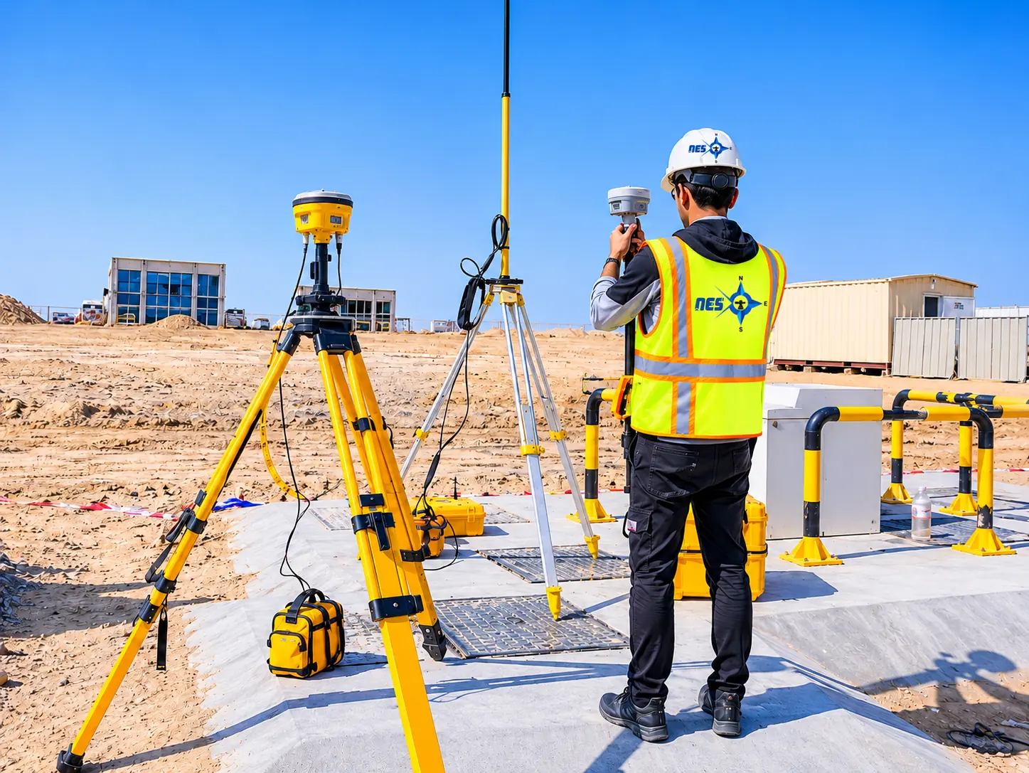
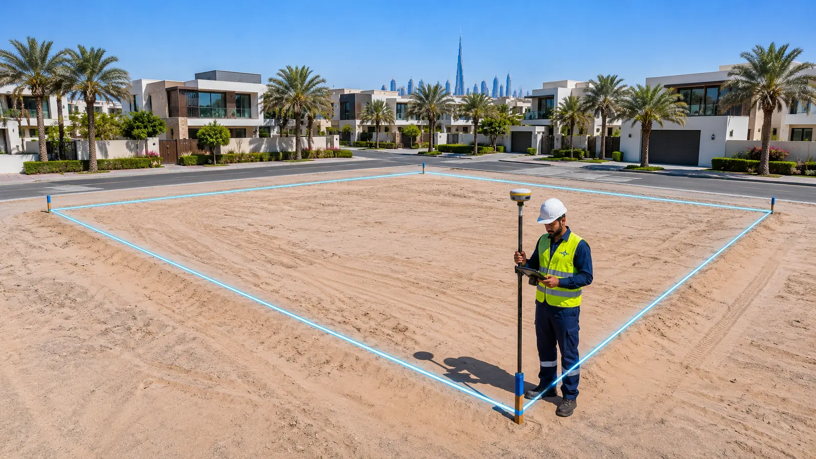
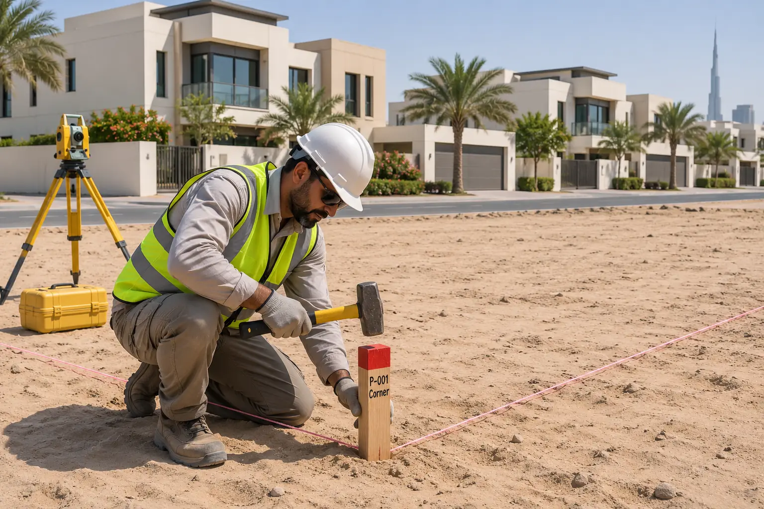
Control points fixed with RTK GPS, so everything ties together.
- 03
Field survey
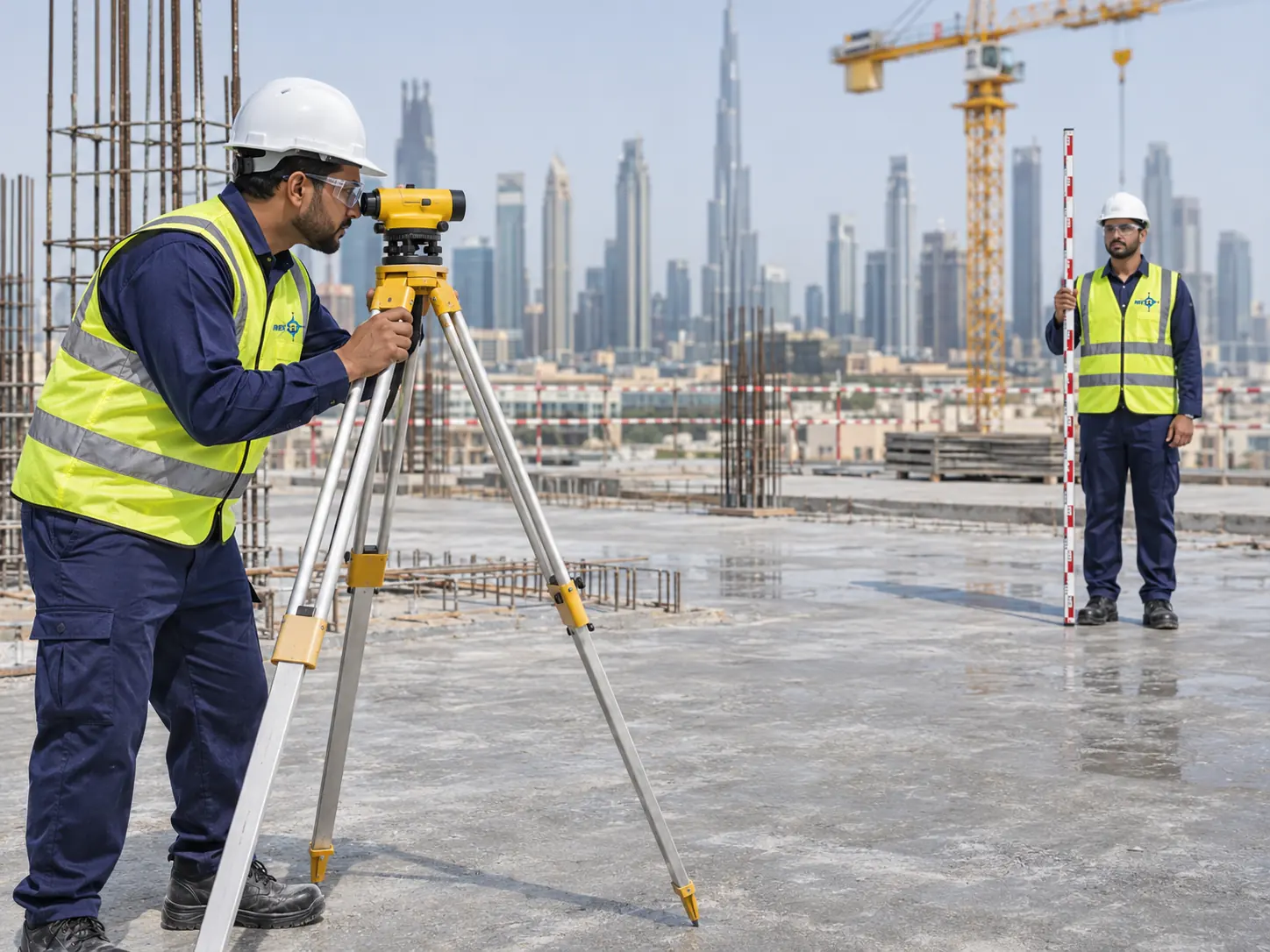
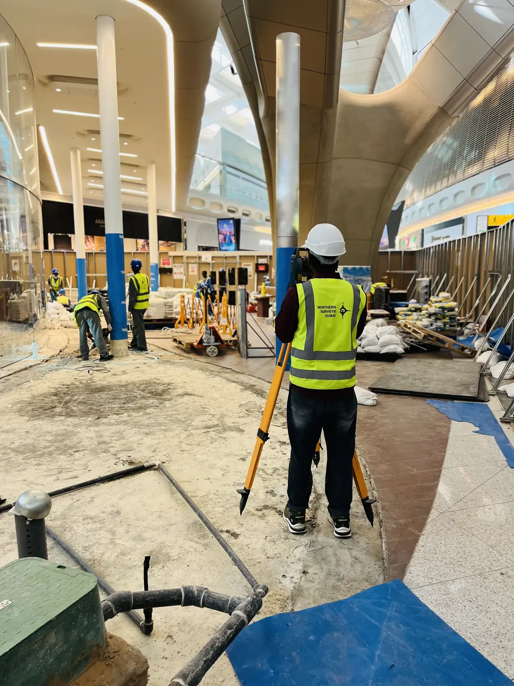
Our crew measures with the instruments that fit the site.
- 04
Processing & CAD
Engineers process the data; drafting builds the drawing.
- 05
Check & deliver
Independent check against control, then your files.
Why choose NES for 2d & 3d
High-precision instruments
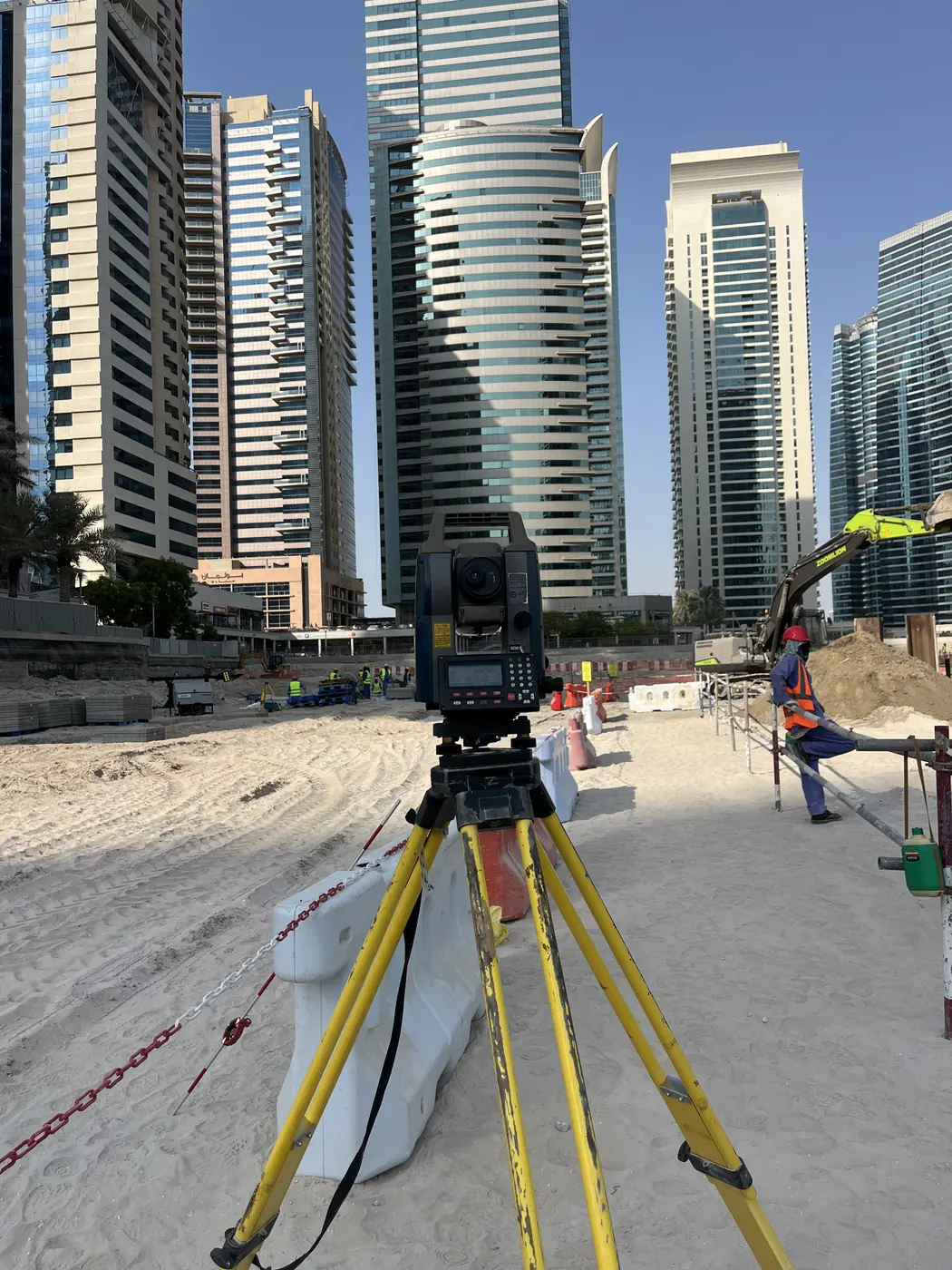
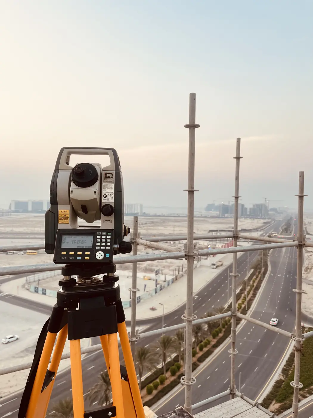
Our own total stations, GPS and scanners for fast, accurate measurements.
Survey & CAD under one roof
Integrated surveying and drafting keeps data consistent.
Proven track record
250 major projects for authorities, developers and contractors.
Built around your project
Scope tailored to site planning, authority and municipal needs.
FAQ
Survey FAQ
What is architecture design?
Architecture design is the process of planning, designing, and creating building structures that are functional, safe, and aesthetically pleasing.
What software do you use for 2D and 3D design?
We use industry-standard software including:
Who uses the technical documents?
Contractors, builders, engineers, permit officials, and quantity surveyors use these documents to build the project accurately and safely.
Do I need permits before construction starts?
Yes. The technical design is submitted to local authorities for permit approval. Construction cannot begin legally until the necessary permits are obtained.
Who ensures the project is built according to the design?
During construction, the architect may offer site supervision or contract administration services to ensure the design is followed correctly and quality is maintained.
Get a quote
Request 2d & 3d
Share the site location, size and what the survey is for. A surveyor will reply with scope, timing and price.