
Drone Survey Inspection in Dubai: What Can It Detect?
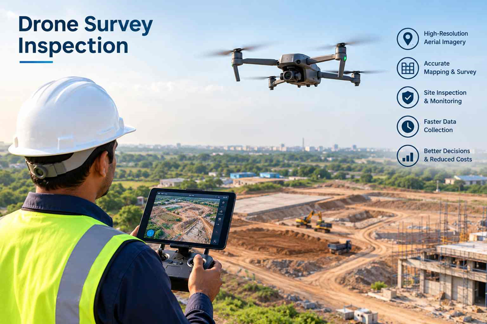
Drone survey inspection has become a practical way to collect accurate site information across construction, infrastructure, buildings, and large industrial areas. In Dubai, where projects can cover large and difficult-to-access sites, drones help survey teams inspect areas faster while reducing the need for manual access.
A drone survey combines high-resolution aerial imagery, mapping, and surveying technology to identify visible site conditions and capture detailed data for further analysis.
What Can a Drone Survey Detect?
A properly planned drone survey can identify and document several conditions that may be difficult to inspect from ground level.
1. Construction Progress
Drone surveys provide an aerial view of active construction sites. Survey teams can use the captured data to compare actual site conditions with drawings, models, or previous surveys.
This can help identify:
- Completed and pending work
- Changes in site conditions
- Material and equipment locations
- Progress across large project areas
- Differences between planned and actual construction
Regular drone surveys also create a visual record of project development over time.
2. Roof and Building Conditions
Some roof areas are difficult or unsafe to inspect manually. A drone can capture detailed images of rooftops, façades, and other elevated areas without requiring extensive access equipment.
Depending on the image quality and inspection requirements, surveys can help identify visible:
- Cracks and surface damage
- Damaged roofing materials
- Water-related marks
- Deteriorated surfaces
- Façade defects
- Areas requiring closer inspection
Drone imagery does not replace specialist structural inspection, but it can help identify areas that need further investigation.
3. Land and Site Changes
Drone surveying can capture large areas of land and provide an up-to-date picture of existing site conditions. This is particularly useful for construction sites, earthworks, infrastructure projects, and undeveloped land.
The survey can help document:
- Changes in ground conditions
- Excavation areas
- Stockpiles
- Earthworks
- Access routes
- Site boundaries and visible features
With suitable survey control and processing, drone data can also be used to produce mapping and measurable survey outputs.
4. Stockpile Volumes
Large stockpiles can be difficult to measure efficiently using traditional ground-based methods. Drone surveys can capture the entire stockpile from multiple angles and generate data that can be processed to calculate volume.
This can be useful for monitoring:
- Sand and aggregate stockpiles
- Excavated materials
- Construction materials
- Quarry and industrial stockpiles
Repeated surveys can also help track changes in stockpile quantities over time.
5. Infrastructure and Difficult-to-Reach Areas
Drones can provide aerial access to areas where traditional inspection methods may take more time or require additional equipment.
They can be used to visually inspect parts of:
- Bridges
- Roads
- Towers
- Industrial facilities
- Large structures
- Infrastructure corridors
The captured information can help surveyors and project teams understand current site conditions before deciding whether a detailed ground inspection is required.
How Does Drone Survey Inspection Work?
A typical drone survey inspection involves several stages:
Site planning → Drone data capture → Ground control and positioning → Image processing → 2D/3D data generation → Analysis and reporting
The required equipment and processing method depend on the project. For high-accuracy surveying, drone imagery may be combined with GNSS/RTK positioning, ground control points, photogrammetry, or LiDAR technology.
This allows the survey team to produce more useful and measurable information rather than relying only on aerial photographs.
Final Takeaway
Drone survey inspection provides more than aerial photographs. When planned and processed correctly, it can provide valuable information about construction progress, site changes, stockpiles, roofs, infrastructure, and difficult-to-access areas.
For construction and engineering projects in Dubai, combining drone data with professional surveying methods can give project teams a clearer picture of existing conditions and help them make better decisions based on current site information.
Need a Drone Survey in Dubai?
Looking for reliable drone surveying and inspection services in Dubai?
Northern Engineering Surveys L.L.C. provides professional surveying solutions for construction, infrastructure, industrial, and development projects across the UAE.
From aerial data capture and site mapping to detailed survey deliverables, our team can help you obtain accurate information about your project site.
Plan your next survey with Northern Engineering Surveys L.L.C.
Visit: https://nesdubai.com/
Frequently Asked Questions
1. What can a drone survey detect?
A drone survey can help identify visible construction progress, site changes, roof and façade conditions, stockpiles, earthworks, and difficult-to-access areas. The actual findings depend on the equipment, image quality, and survey requirements.
2. How accurate is a drone survey in Dubai?
Drone survey accuracy depends on the drone system, positioning method, ground control, site conditions, and processing workflow. RTK/PPK positioning and suitable ground control can improve survey accuracy for mapping and measurement applications.
3. Can drones calculate stockpile volumes?
Yes. Drone survey data can be processed to create a 3D representation of a stockpile and calculate its volume. This is commonly used for construction materials, aggregates, excavation materials, and similar sites.
4. Can drone surveys be used for construction progress monitoring?
Yes. Repeated drone surveys can document construction progress and allow project teams to compare site conditions over different dates.
5. Can a drone inspect building roofs and façades?
Yes. Drones can capture detailed aerial images of roofs and façades, helping identify visible damage or areas that may require further inspection. They are especially useful where physical access is difficult.
6. Is drone surveying suitable for construction projects in Dubai?
Yes. Drone surveying can be useful for large construction sites, infrastructure projects, industrial facilities, land development, earthworks, and progress monitoring. The survey method should be selected according to the project’s accuracy and deliverable requirements.