
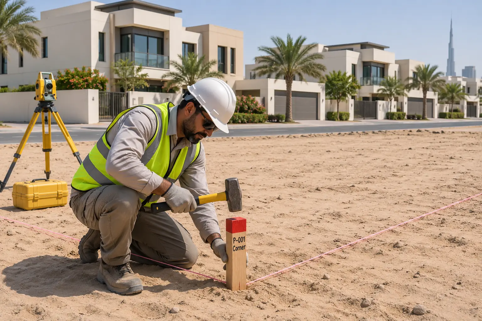
Boundary surveyin Dubai
Boundary surveys UAE—accurate property line verification, legal boundary marking & dispute‑free plotting for landowners and developers.
Overview
Know where your legal boundary actually sits
Boundary surveys determine the precise location of a property’s legal boundaries. This is crucial for resolving land disputes, securing property rights, and ensuring compliance with local zoning laws. By accurately marking and documenting property lines, Northern Engineering Survey helps protect your investment and ensures that your developments are legally sound, minimizing the risk of boundary conflicts in the future.
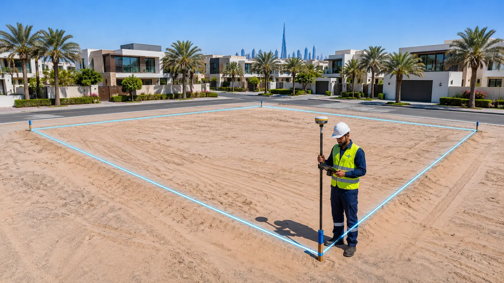
A boundary survey compares your plot documents with what is on the ground. NES locates the boundary corners, checks walls and structures against the line and reports any encroachment.
- Land purchase
- Neighbour disputes
- Fencing & walls
- Development
- Title checks

What we capture
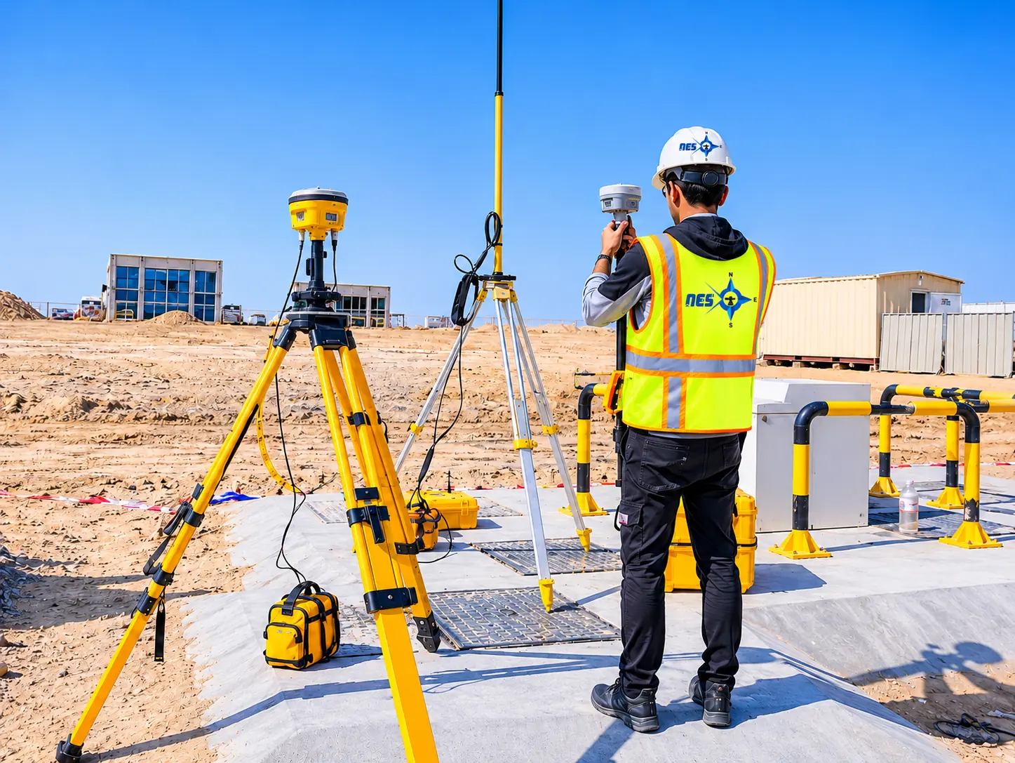
What a boundary survey checks
Boundary corners
Corner positions found or re-established on site.
Plot dimensions
Side lengths and area compared with the title.
Walls & buildings
How existing structures sit against the line.
Gates & services
Entrances and visible services near the boundary.
Encroachments
Any overlap on either side noted clearly.
Deliverables
What you receive
- Boundary planPlot outline, dimensions and findings on one drawing.
- Corner coordinatesFor future reference and setting out.
- Marked cornersPegs placed where the title requires.
Process
How a NES survey runs
From your first message to signed drawings, in five steps.
- 01
Brief & quote
Send the site and purpose. We confirm scope, time and price.
- 02
Control set-up
Control points fixed with RTK GPS, so everything ties together.
- 03
Field survey
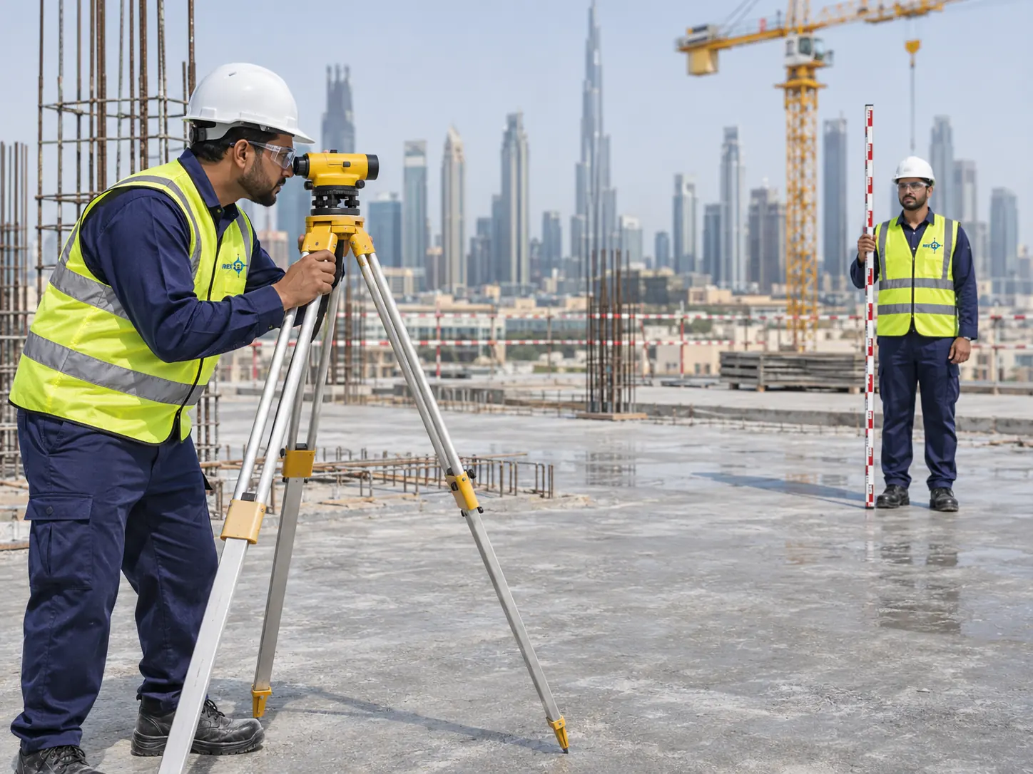
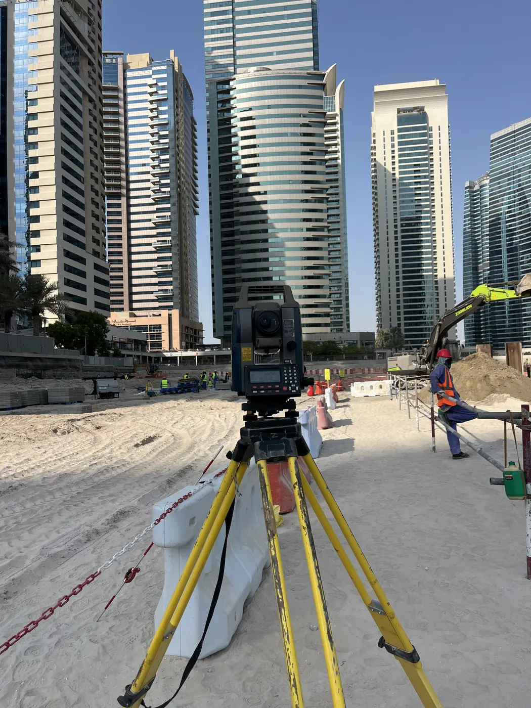
Our crew measures with the instruments that fit the site.
- 04
Processing & CAD
Engineers process the data; drafting builds the drawing.
- 05
Check & deliver
Independent check against control, then your files.
Why choose NES for boundary survey
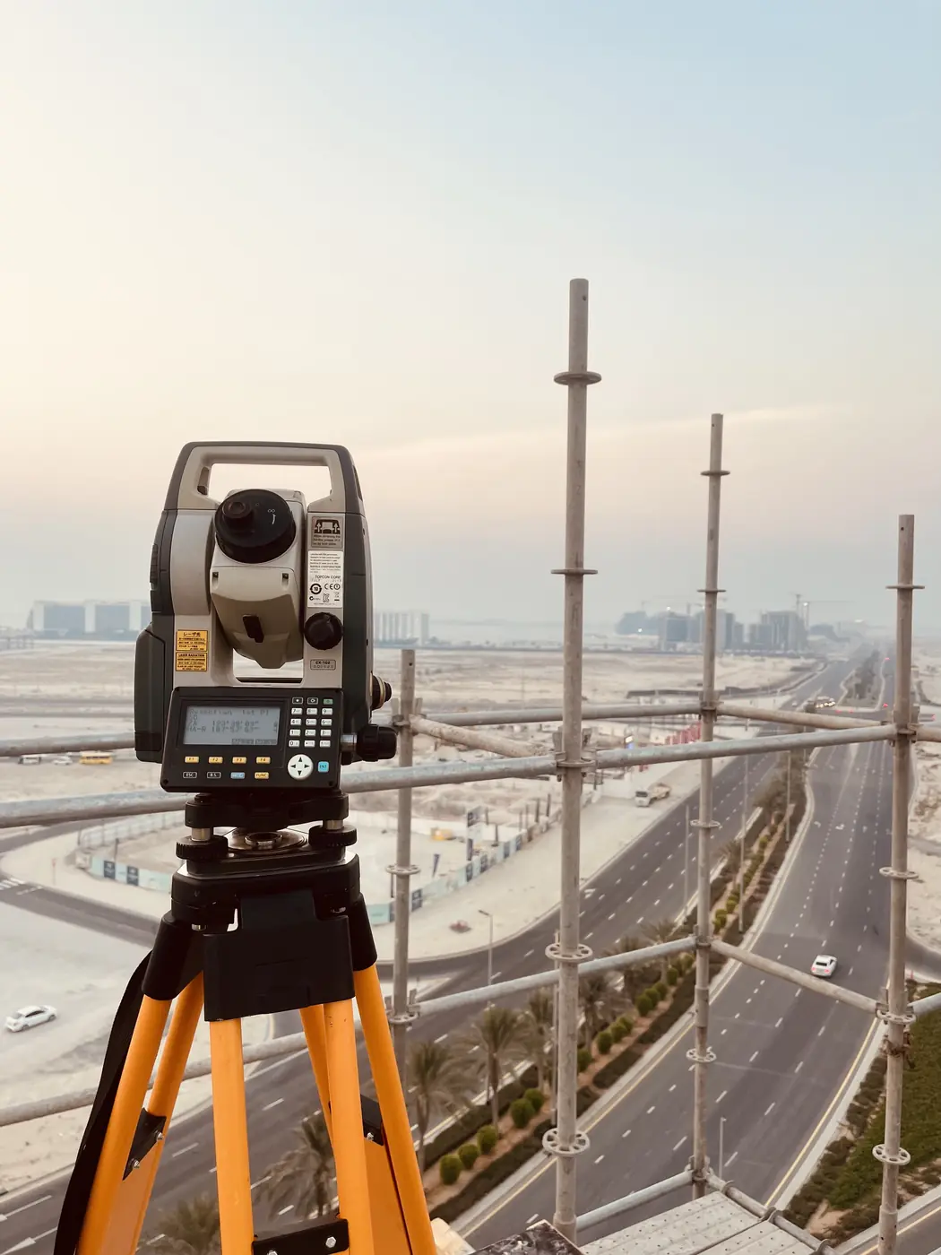
High-precision instruments
Our own total stations, GPS and scanners for fast, accurate measurements.
Survey & CAD under one roof
Integrated surveying and drafting keeps data consistent.
Proven track record
250 major projects for authorities, developers and contractors.
Built around your project
Scope tailored to site planning, authority and municipal needs.
FAQ
Frequently asked questions
Is this the same as demarcation?
They are closely linked. Demarcation sets the plot corners out on site from the authority plan.
Do I need a boundary survey before building?
It is strongly advised. It protects you from boundary problems once construction has started.
Will you resolve a dispute?
We provide measured evidence. Legal decisions stay with the authority or the courts.
Get a quote
Request boundary survey
Share the site location, size and what the survey is for. A surveyor will reply with scope, timing and price.