Cadastral Survey Services
Professional cadastral surveys UAE—land parcel mapping, legal boundary plotting & GIS integration for property development & regulatory approval.
Overview
Cadastral Survey Services
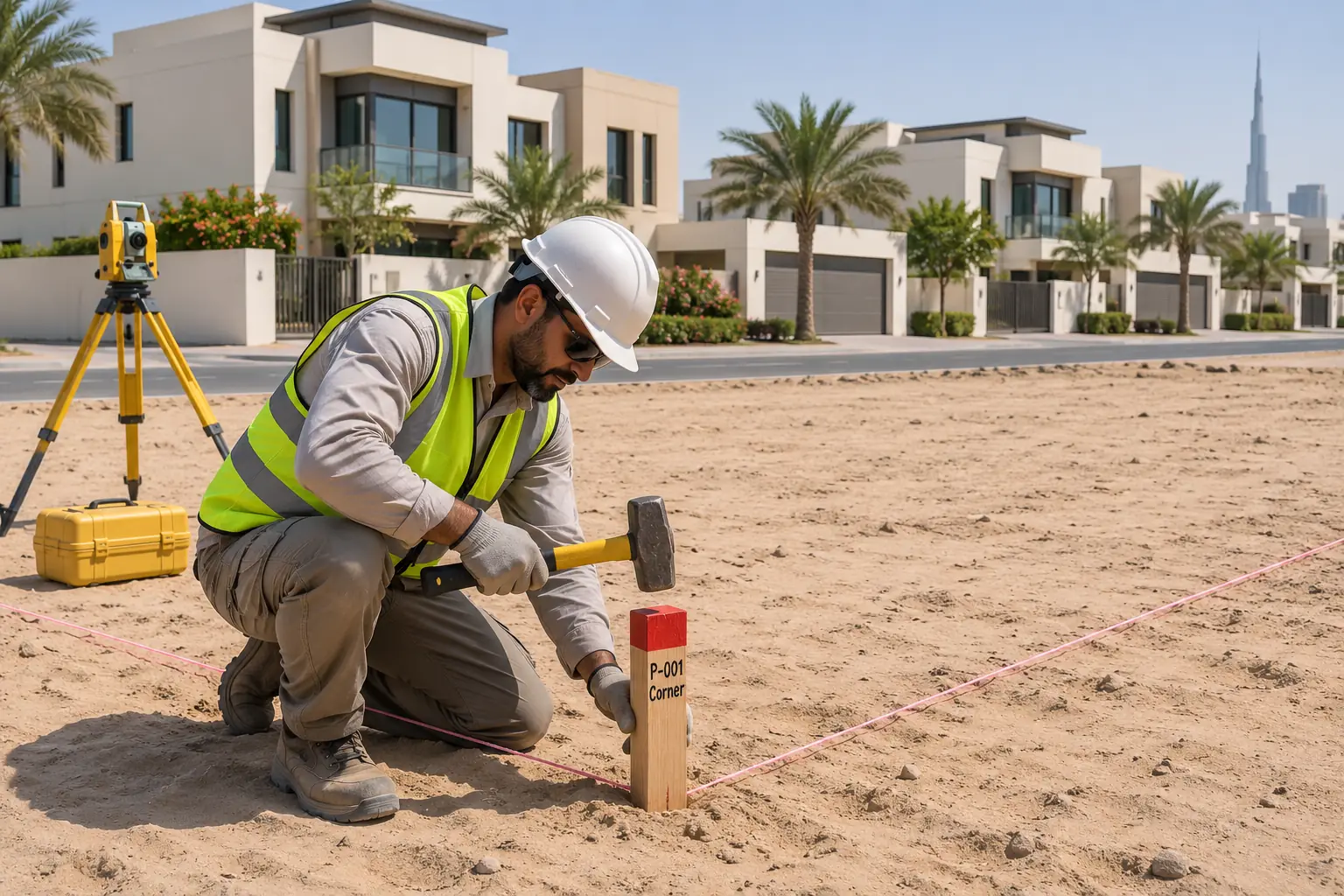
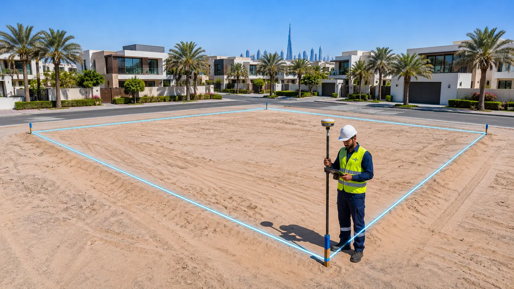
Cadastral surveys are essential for determining legal property boundaries and ownership rights. We employ advanced surveying techniques to produce precise boundary maps, ensuring that land titles, property disputes, and legal documents are accurate. Northern Engineering Survey’s cadastral services provide clarity and legal assurance, preventing future conflicts and facilitating secure land transactions and developments.

Deliverables
What you receive
- CAD drawing (DWG)Survey data drawn up and ready for design or approvals.
- Signed PDF planStating survey date, coordinate system and level datum.
- Coordinate listPoint coordinates and levels, on request.
Process
How a NES survey runs
From your first message to signed drawings, in five steps.
- 01
Brief & quote
Send the site and purpose. We confirm scope, time and price.
- 02
Control set-up
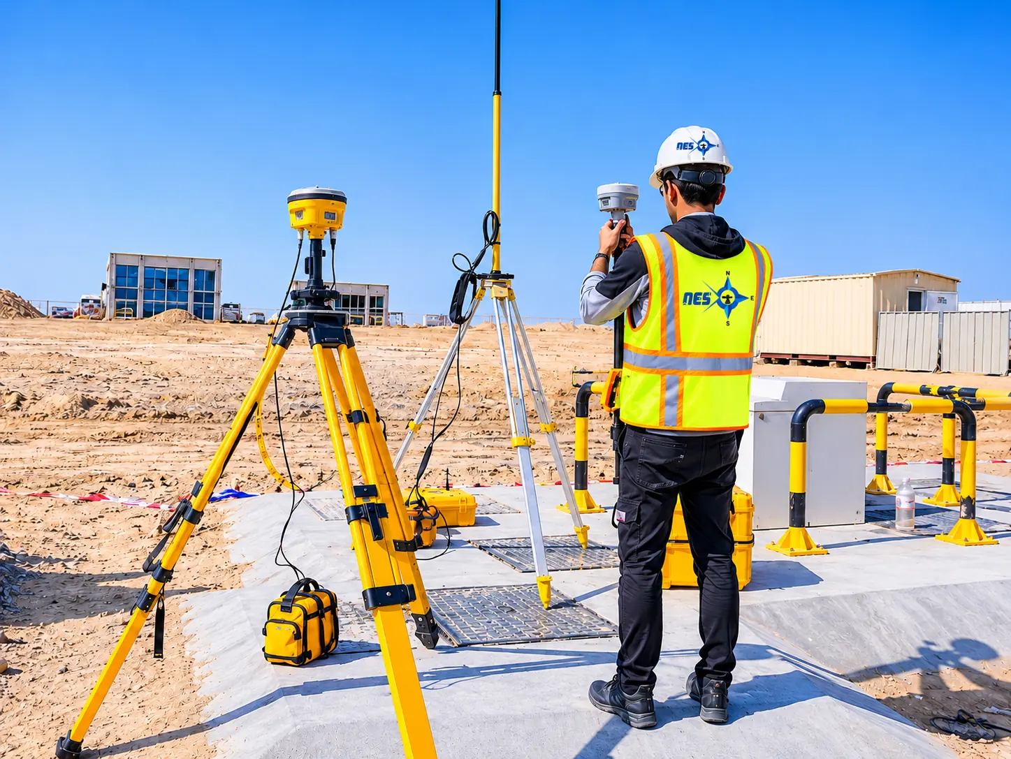
Control points fixed with RTK GPS, so everything ties together.
- 03
Field survey
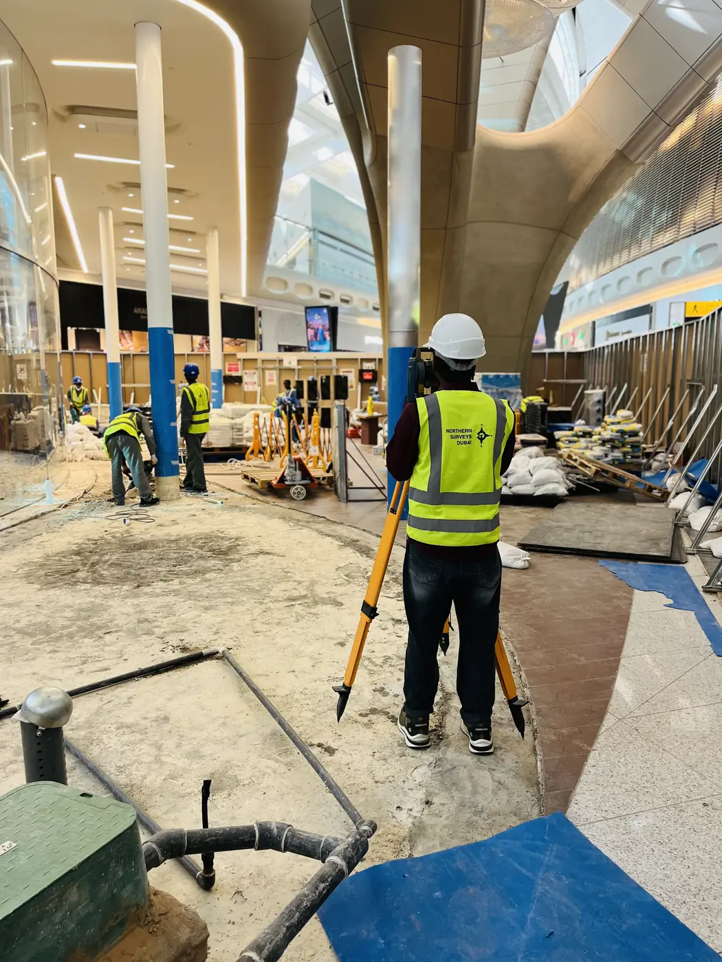
Our crew measures with the instruments that fit the site.
- 04
Processing & CAD
Engineers process the data; drafting builds the drawing.
- 05
Check & deliver
Independent check against control, then your files.
Why choose NES for cadastral survey services
High-precision instruments
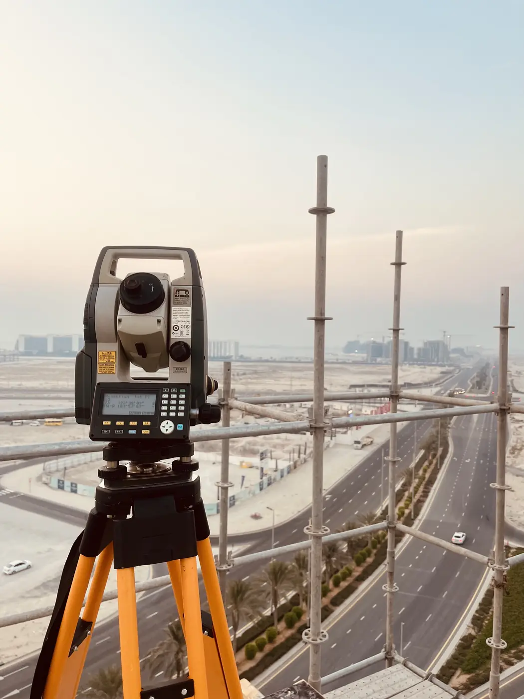
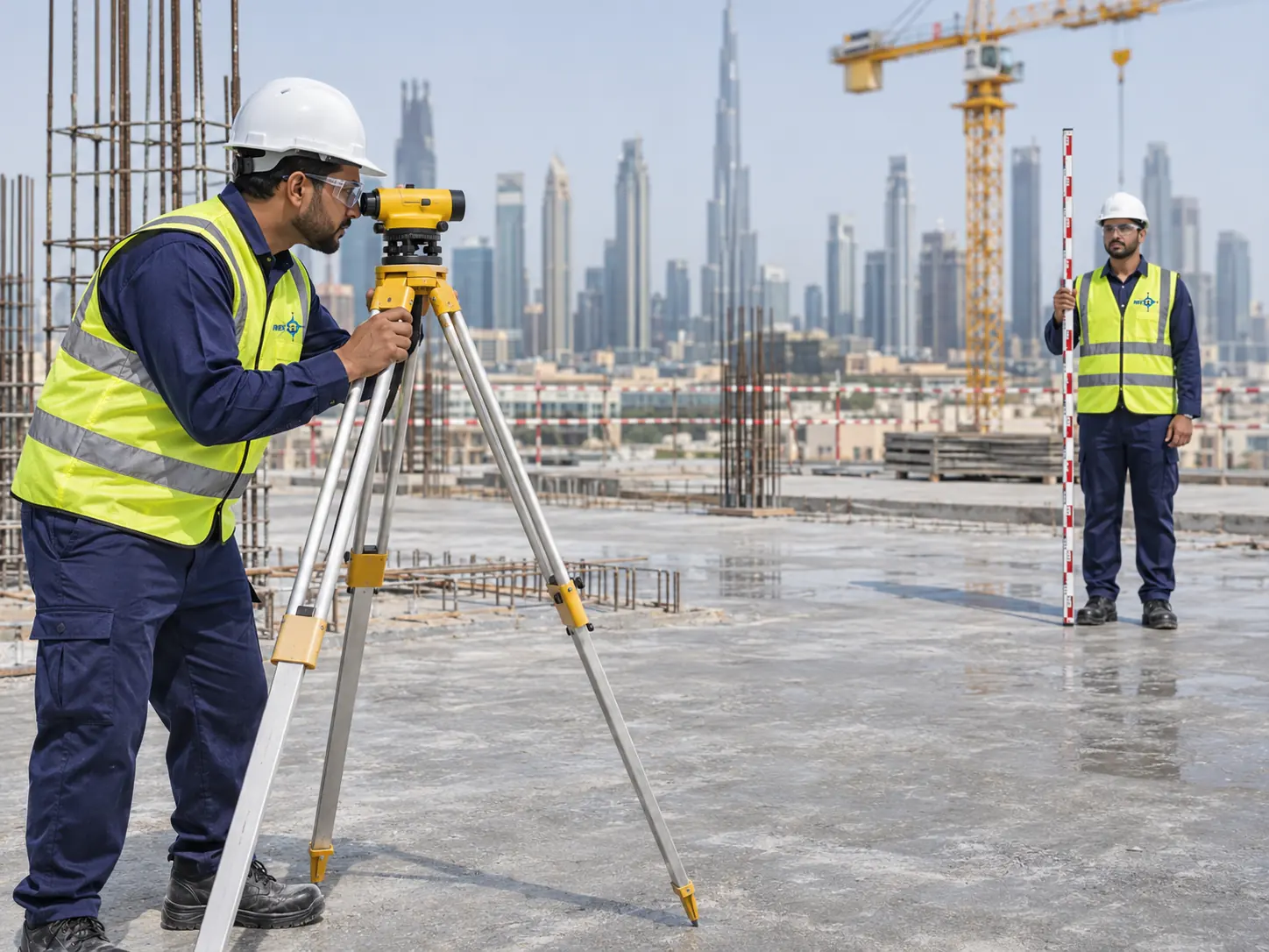
Our own total stations, GPS and scanners for fast, accurate measurements.
Survey & CAD under one roof
Integrated surveying and drafting keeps data consistent.
Proven track record
250 major projects for authorities, developers and contractors.
Built around your project
Scope tailored to site planning, authority and municipal needs.
FAQ
Survey FAQ
Which areas does NES cover?
NES works across Dubai and all seven emirates from its office in Al Qusais, and has delivered projects in Oman, Qatar, Sri Lanka and India.
What survey equipment does NES use?
NES runs total stations, robotic total stations, RTK GPS, digital and auto levels, 3D laser scanners, echo sounders, cable detectors and drones from Leica, Trimble, Topcon and Nikon.
Can NES supply surveyors to my site on contract?
Yes. NES supplies site-ready surveyors on short or long-term contracts, equipped with GNSS and total station instruments, for setting out, as-built surveys and progress support.
Get a quote
Request cadastral survey services
Share the site location, size and what the survey is for. A surveyor will reply with scope, timing and price.